Takanasaki
高那崎24°03′ N 123°48′ ECapeGood with kids
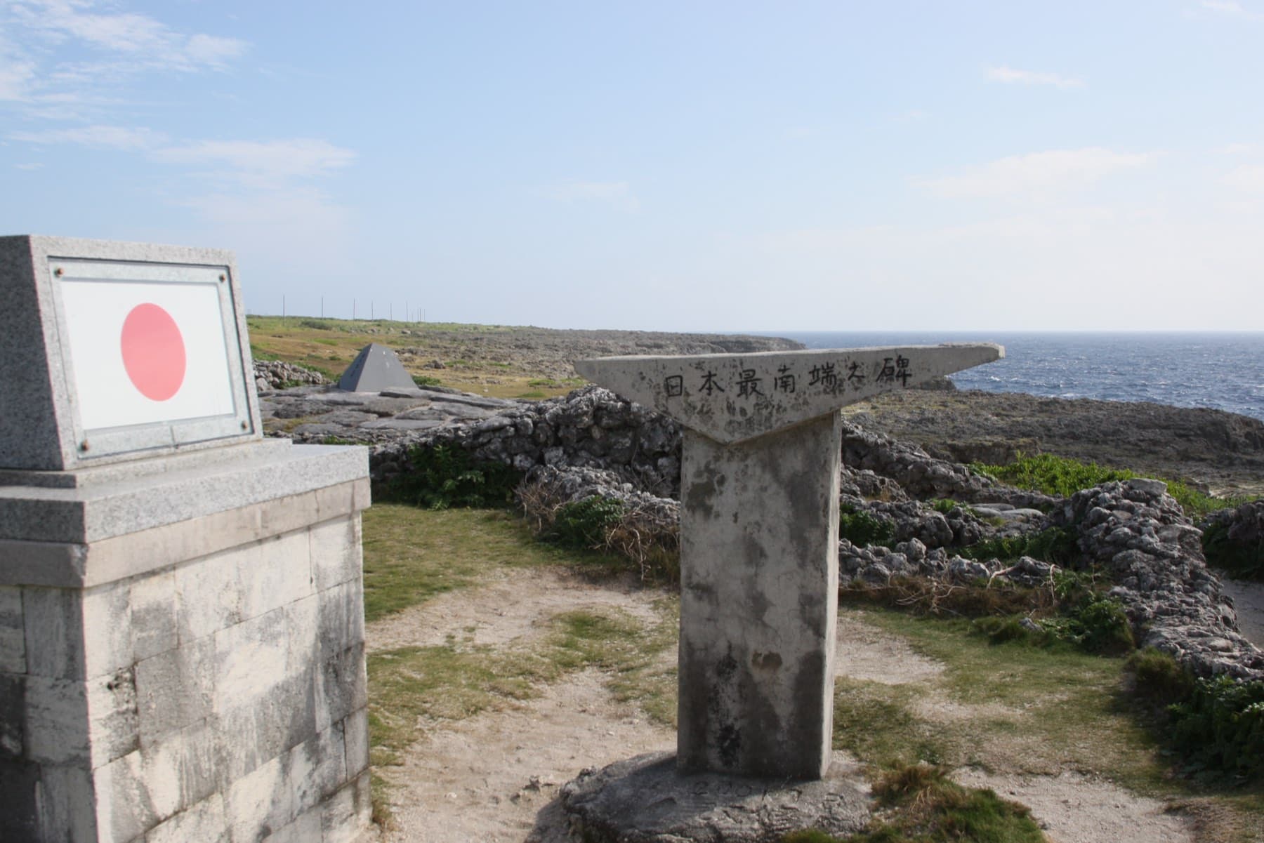
Takanasaki is the cape on Hateruma's south-east coast that Japan treats as its southernmost, where a 1 km line of limestone sea cliffs a dozen or so metres high stands above open Pacific swell.
Photo 松岡明芳 · Wikimedia Commons · CC BY-SA 4.0 and others, credited in the gallery
At Takanasaki the island ends in Ryukyu limestone cliffs a dozen or so metres high that run for about a kilometre, with the ocean breaking at their foot. On top lies a strip of sharp, eroded karst about 200 m wide, then grassy dunes. The town lists it as a scenic place, and the national park plan names the whole area the Takanasaki garden.
It is called Japan's southernmost cape, though Wikipedia notes the island's true southern point is about 1.5 km to the west-south-west, unnamed on the national map. The cluster of southernmost monuments stands about 800 m from the cape.
Worth knowing
- Stay back from the cliff edge, and wear shoes: the eroded karst on top is sharp underfoot.
FAQ
Quick answers about Takanasakiよくある質問
Is Takanasaki the southernmost point of Japan?
It is treated as Japan's southernmost cape among places you can visit. The exact southern tip of Hateruma lies about 1.5 km west-south-west of Takanasaki and has no name on the national map.
How do you get to Takanasaki?
By bicycle, e-bike, scooter or car from Hateruma village. The cape is on the island's south-east corner, about 15 minutes by car from the port.
How long do you need at Takanasaki?
Plan about 30 minutes at Takanasaki.
Can you get to Takanasaki by bike?
Ride out on the road past the airport; the cape sits on the island's south-east corner, about 15 minutes by car from the port.
Within 8 km
Eat and drink nearby食
Within 8 km
Beaches and swims nearby浜

Within 8 km
Stay nearby宿
Within 8 km
See nearby見る


Book it
Line up the trip around Takanasaki
Some of these links pay us a commission. It costs you nothing and keeps the guide independent.