Kayauchi Banta
茅打バンタ26°51′ N 128°15′ EViewpointGood with kids
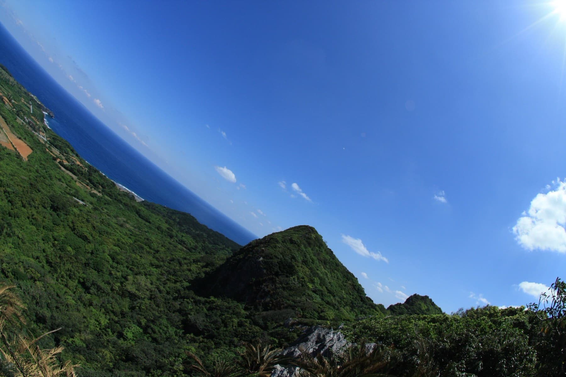
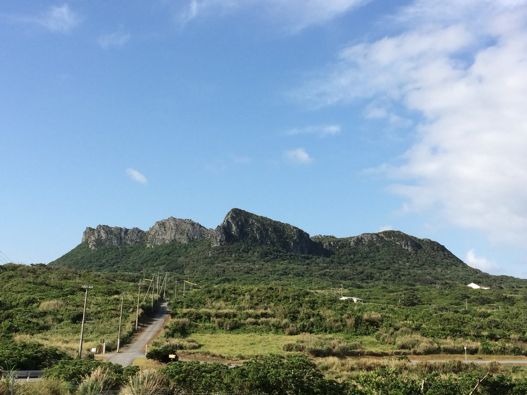
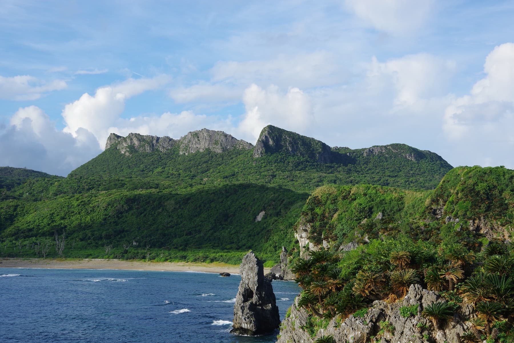
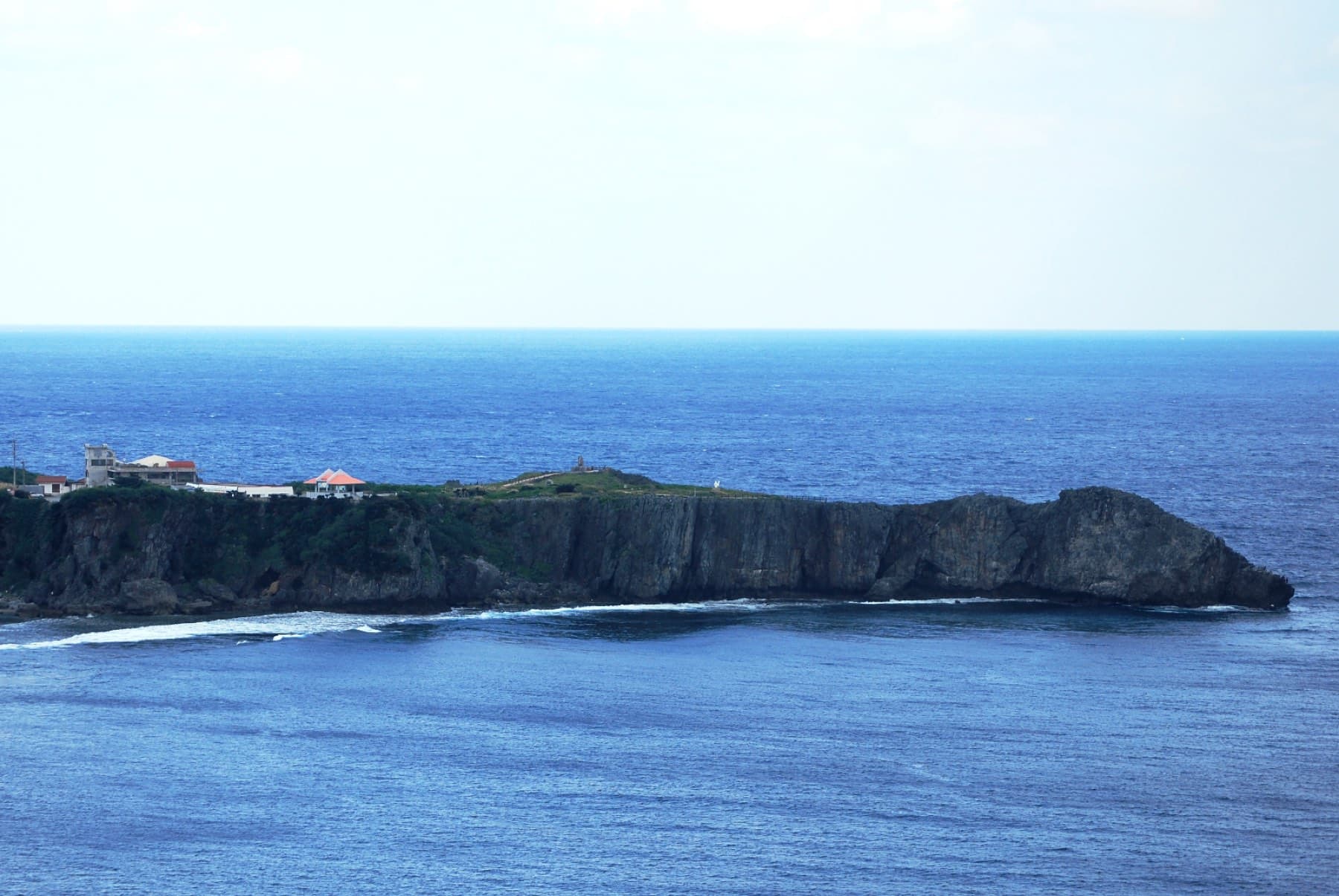
Kayauchi Banta in Kunigami is an 80 m limestone cliff above Ginama whose lookout takes in the whole west coast of Yanbaru down to the Motobu Peninsula.
Photo Kugel~commonswiki · Wikimedia Commons · CC BY-SA 4.0 and others, credited in the gallery
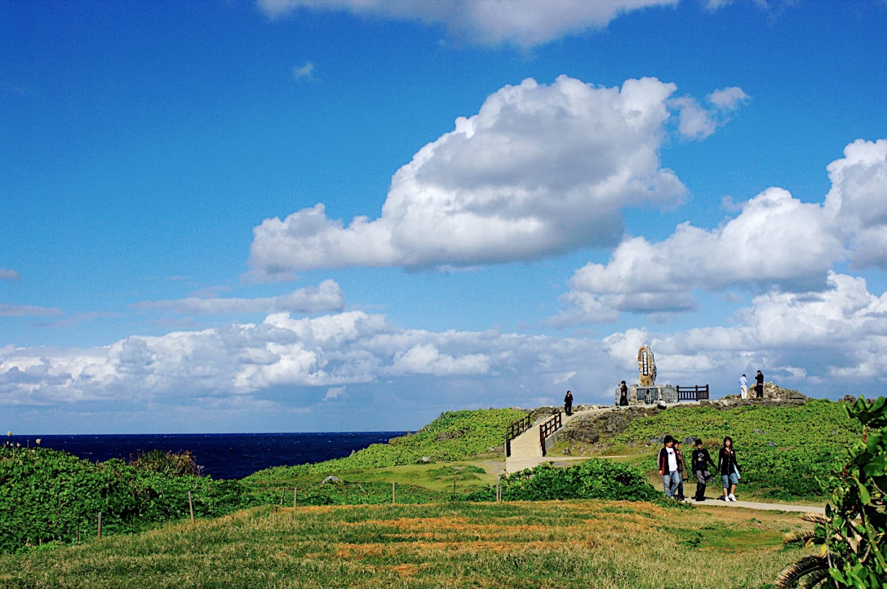
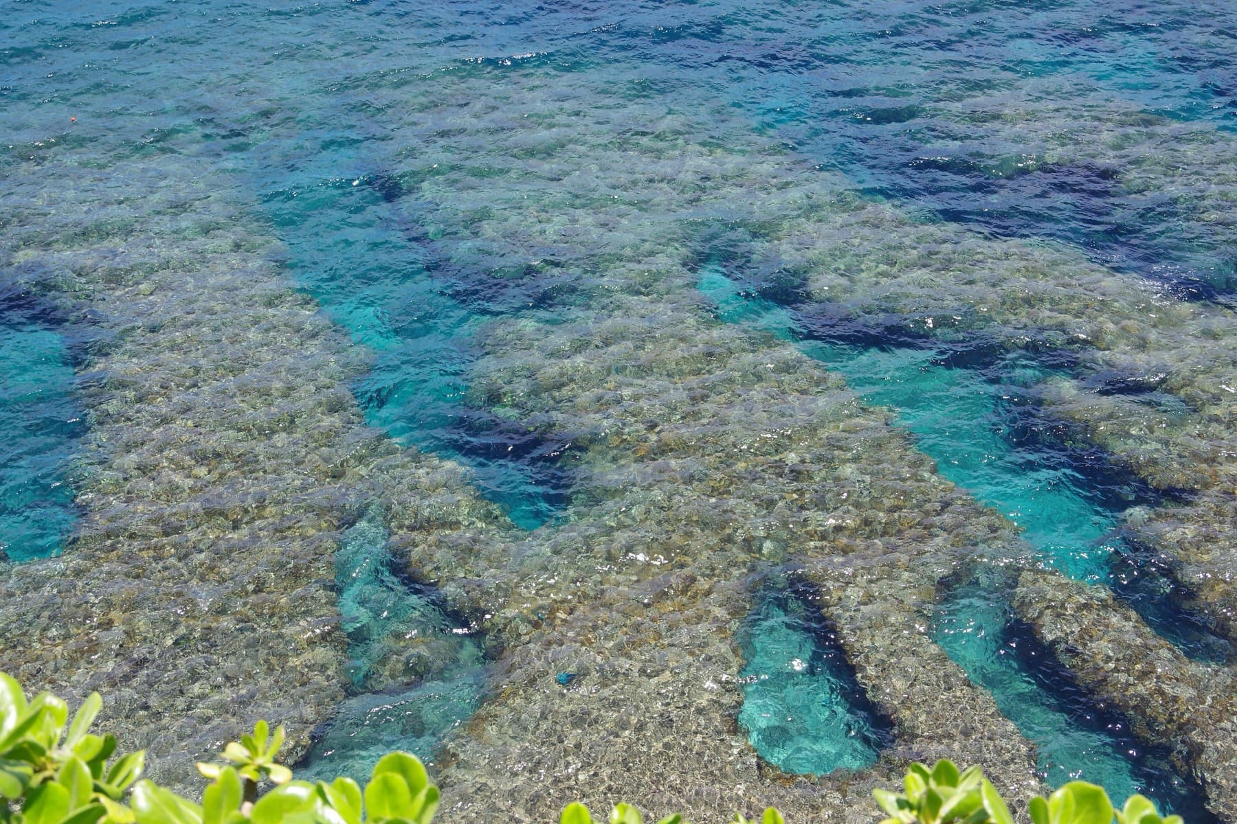
The lookout stands on the edge of the cliff, with forested mountains inland and reef offshore in one long arc to the south. The Japan Tourism Agency's sign here calls it one of the most iconic panoramas in Okinawa. Ginama's fishing port sits right below you.
Walk a few steps back from the lookout and the road threads through a narrow cleft. Before the coast road, this cleft was the only way from Ginama to the farmland to the north, and it was so tight that one of two people meeting inside had to back out, which is why people called it modoru michi, meaning the backtracking path. A new principal at Hedo Elementary School rallied villagers to widen it in 1912, and by November 1913 it took traffic both ways.
Worth knowing
- Combine it with ASMUI Spiritual Hikes, which sits a few minutes up the same road toward Cape Hedo.
FAQ
Quick answers about Kayauchi Bantaよくある質問
How high is Kayauchi Banta?
Kayauchi Banta is a cliff about 80 m high above Ginama in Kunigami, according to the Japan Tourism Agency sign at the site. Some guides give 70 m.
Is Kayauchi Banta free?
Yes. The Kayauchi Banta lookout and its small car park are free.
What are the opening hours of Kayauchi Banta?
Kayauchi Banta is open Open viewpoint.
How long do you need at Kayauchi Banta?
Plan about 20 minutes at Kayauchi Banta.
Can you get to Kayauchi Banta by bike?
Turn off Route 58 at Ginama and climb the old road through the cut in the rock to the lookout. It is a short, sharp detour on the way to Cape Hedo.
Within 8 km
Eat and drink nearby食
Within 8 km
Stay nearby宿
Within 8 km
See nearby見る
Book it
Line up the trip around Kayauchi Banta
Some of these links pay us a commission. It costs you nothing and keeps the guide independent.