guide · 7 min read
How do you ride the Yanbaru forest in Okinawa's north?
Base yourself at Okuma or Oku with a road bike or e-bike from Nago or Naha, ride the forest loop over Route 2 and round Cape Hedo, plan food around the village co-op stores, and slow right down for the Okinawa rail.
By Ride Okinawa · Updated 2026-10

Ride Yanbaru from a base at Okuma or Oku, on a road bike or e-bike you bring up from Nago or Naha, because the only rental counter we found in Kunigami lends three city bikes. The classic loop climbs over the forest on Route 2, follows the Pacific coast north on Route 70 to Oku and comes back round Cape Hedo on Route 58. Shops sit far apart, and the Okinawa rail crosses these roads on foot, so carry food and ride the forest sections slowly.
We built this from the Ministry of the Environment's park pages and road-kill counts, the prefecture's road notices, the Tour de Okinawa organisers' pages and Ryukyu Shimpo reporting, read in October 2026, and from our own route model of the Yanbaru hills loop. Nobody from Ride Okinawa has ridden it for this piece.
What is Yanbaru, and how much of it is national park?
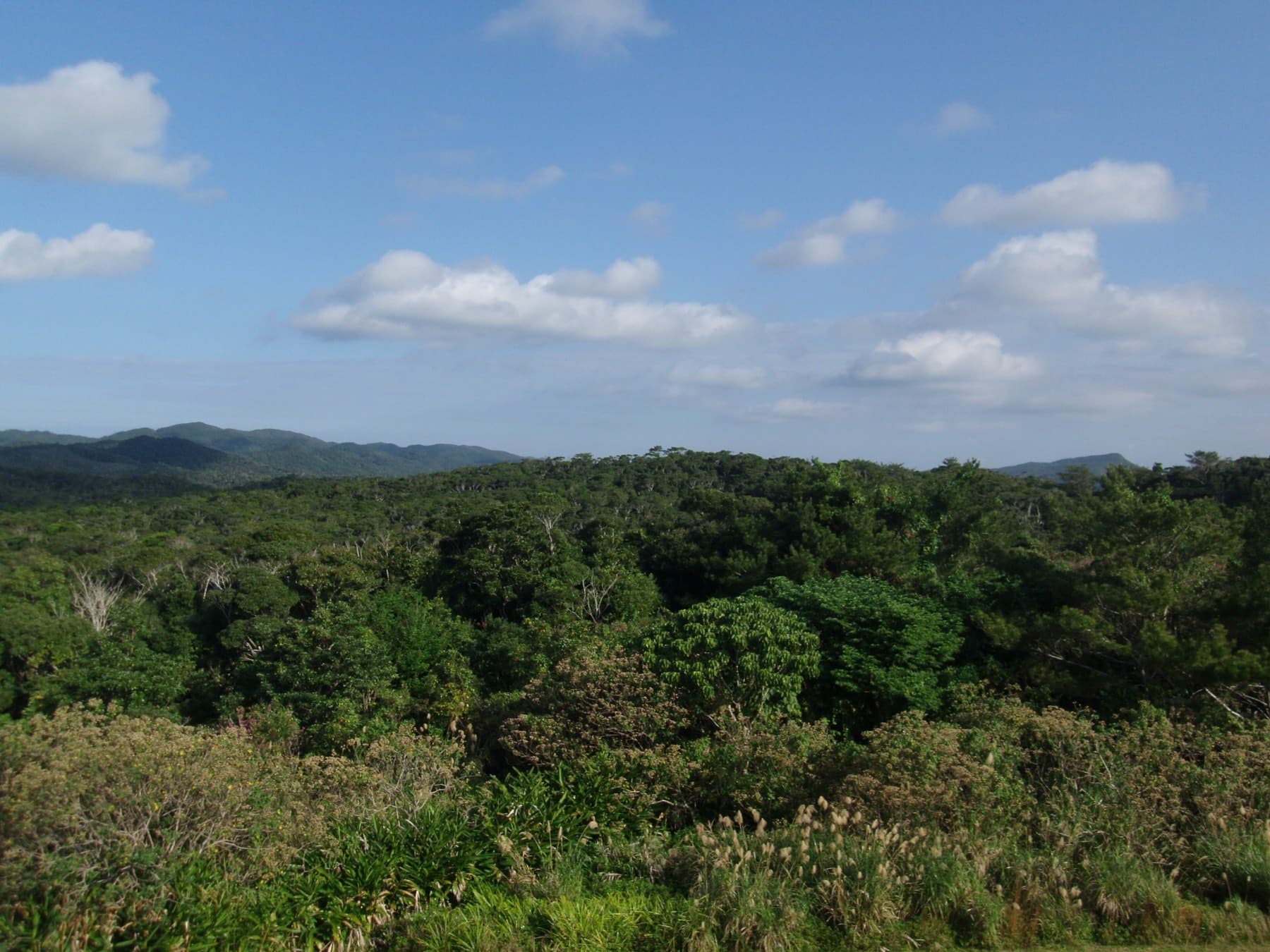
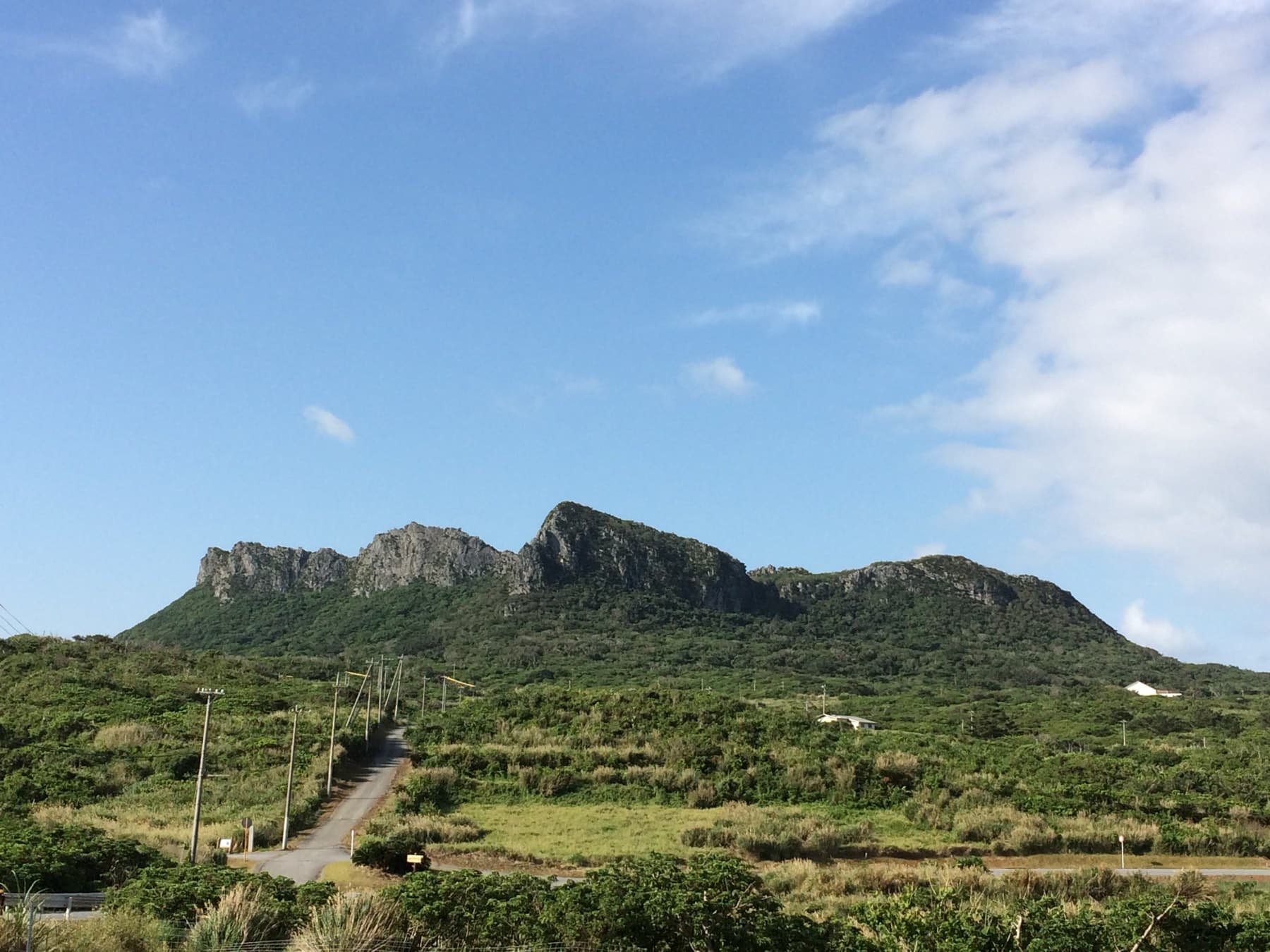
Yanbaru is the forested north of Okinawa Island, and since 15 September 2016 its core has been Yanbaru National Park, which covers 17,352 ha of land in the villages of Kunigami, Ogimi and Higashi (Ministry of the Environment). UNESCO added northern Okinawa Island to the World Natural Heritage list on 26 July 2021, together with Amami-Oshima, Tokunoshima and Iriomote (Yanbaru World Heritage Center). Kunigami alone is about 84% forest, and its spine of hills peaks at 503 m on Yonaha-dake (Kunigami village).
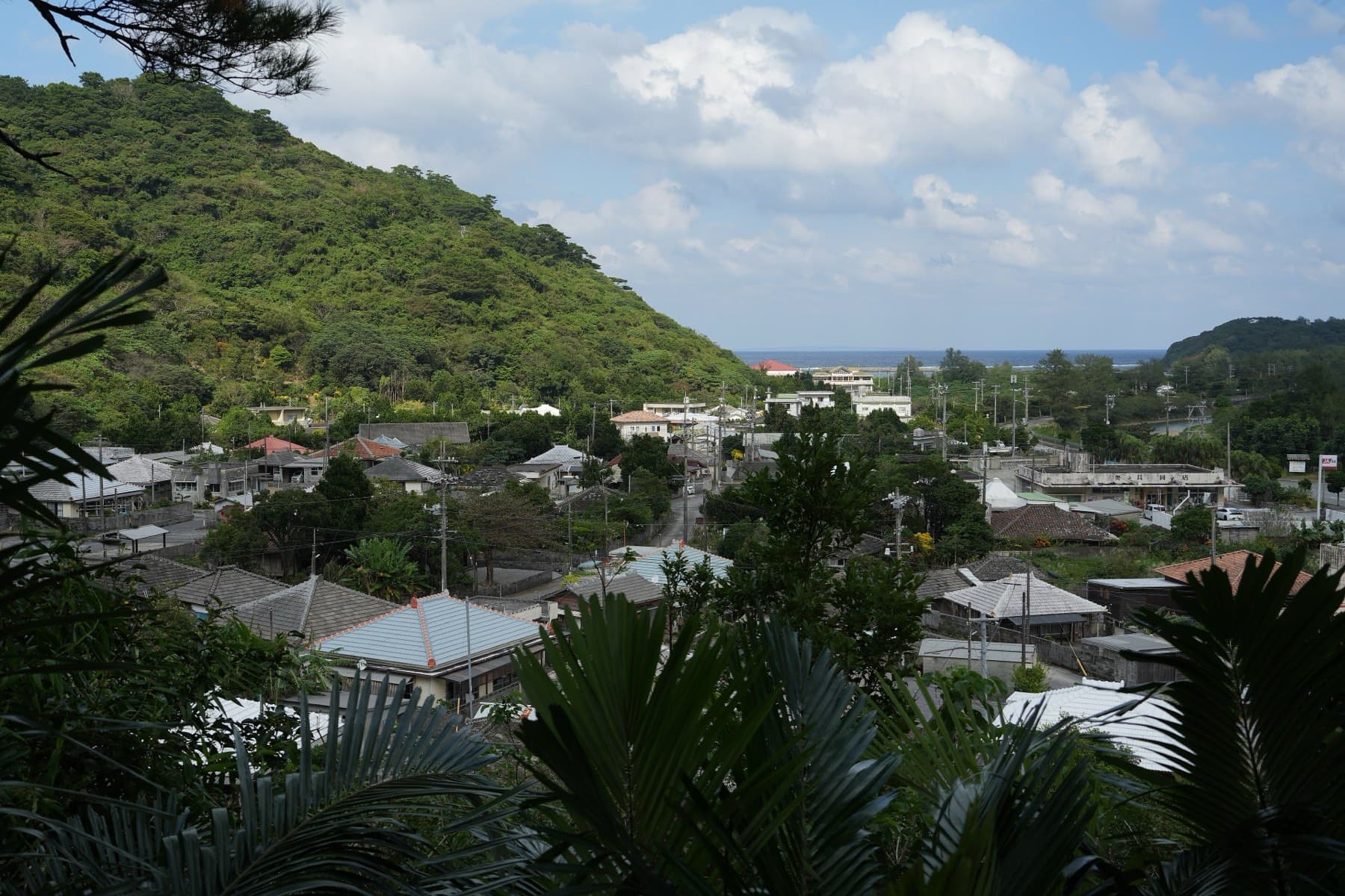
Route 58 runs up the west coast past Ogimi and Hentona at sea level, with the villages strung along it. Inland and on the Pacific side, the roads climb through unbroken forest with long gaps between settlements. The Yanbaru World Heritage Center and Ufugi Nature Museum in Hiji explains the forest and its animals before you go in, for a ¥300 contribution, and closes on Mondays.
Why are there rail signs on the roads, and how slowly should you ride?
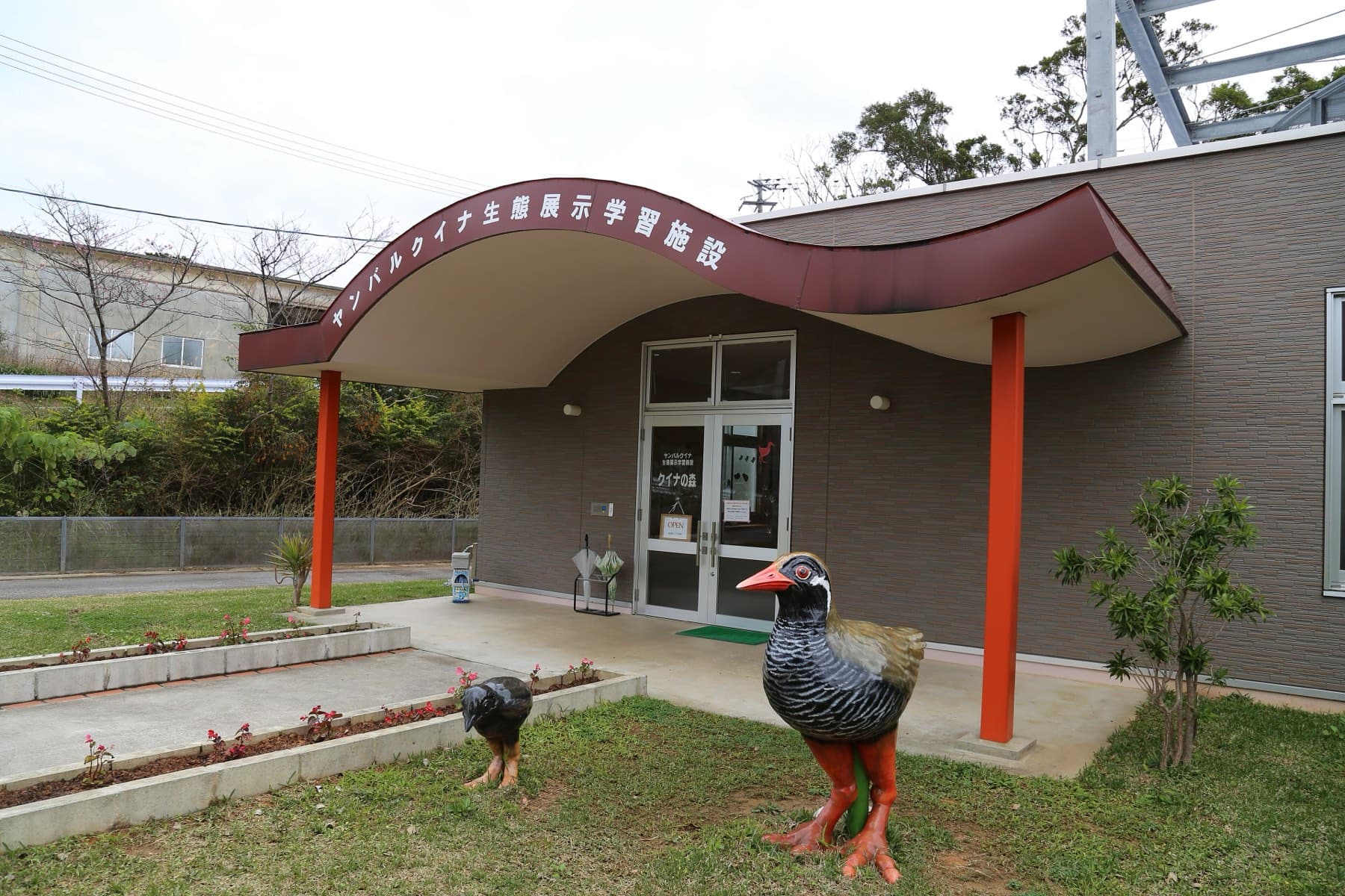
The signs are there because cars kill the Okinawa rail, and you should ride at a speed that lets you stop for one. The Yanbaru kuina lives only in northern Okinawa and can't fly, though it runs fast and hops into low branches to roost (Japan Tourism Agency). Mongooses brought in during 1910 to hunt habu pushed it into the north, where numbers may have fallen to about 700 before trapping teams cleared the predator.
The Ryukyu Shimpo puts the population at about 1,500 now. Cars hit 47 Okinawa rails in 2012 and again in 2014, and the count has sat between 20 and 35 in most years since (Ryukyu Shimpo, July 2026). The World Heritage Center's 2026 tally showed 36 rail accidents from January to August, alongside 40 Okinawa spiny rats (road-kill figures). The birds come onto the roads most from May to July, in the breeding season (Ryukyu Shimpo, 2024), so a February ride falls outside the worst months.
We found no special speed limit for bikes. Route 70 at Ada has been the scene of campaigns asking drivers to keep to the posted limits, and the Northern National Highway Office has added rail fences and underpasses beside the warning signs and road markings, and asks everyone to slow down where they appear (Northern National Highway Office). On Route 58 between km posts 0 and 6 in Kunigami, a national pilot added road markings warning of Okinawa spiny rats from October 2025, with rail measures planned for the following spring (MLIT). On a forest descent a bike gathers speed quickly, so brake before the bends and leave room to stop. Report an injured or dead animal to the World Heritage Center on 0980-43-4330 (Ufugi).
How hard are the climbs?
Expect one long climb and several shorter ones, which an e-bike makes steady work of. Our Yanbaru hills loop starts at the Okuma roadside station and runs counter-clockwise. By our route data, the road inland from Yona on Route 2 gains 334 m over 7.3 km at an average of 4.6%, topping out at 358 m. A second climb out of Oku toward the cape reaches about 225 m.
| Km | Place | What's there |
|---|---|---|
| 0 | Yuiyui Kunigami at Okuma | Restaurant 11:00–16:00, shop 9:00–18:00, 14 bike stands, toilets open all night |
| 5 | Yona | Turn inland onto Route 2 |
| 7–14 | The Route 2 climb | 334 m of height gain to the high point at 358 m |
| 18 | Fungawa dam | Lakeside park with toilets and a lookout |
| 23 | Near Ada | Join Route 70 down the Pacific side |
| 36 | Oku | Oku Co-op Store, the first of Okinawa's village co-op stores |
| 44 | Cape Hedo | Fushikubu Café upstairs in the information office, and Koyo Parlor |
| 48 | Ginama | Village co-op store, with Kayauchi Banta above |
| 73.6 | Okuma | Finish |
Our kilometre marks come from the route model and are rounded. Past Ginama our model leaves Route 58 for a hill road inland, so the finishing figure runs long, and Route 58's coastal tunnels will give you a shorter, flatter run home. The Fungawa dam park on Route 2 serves as a checkpoint and feed station during Tour de Okinawa (MLIT dam card).
Heavy rain can shut the forest roads. The prefecture puts Route 2 between Yona and Ada, 13.8 km, and Route 70 between Ada and Oku, 17.0 km, under traffic restrictions once rain reaches 40 mm an hour (Okinawa Prefecture). On a wet day, stay on Route 58.
Where do you find food and water?
Fill up at the roadside stations and the village co-op stores, and treat everything else as a bonus. Yuiyui Kunigami at Okuma is the last big stop going north (roadside station). Further south, Michi-no-eki Ogimi and Shikuwasa Park open every day, and Emi no Mise serves its island-vegetable sets by booking only, closing from Tuesday to Thursday.
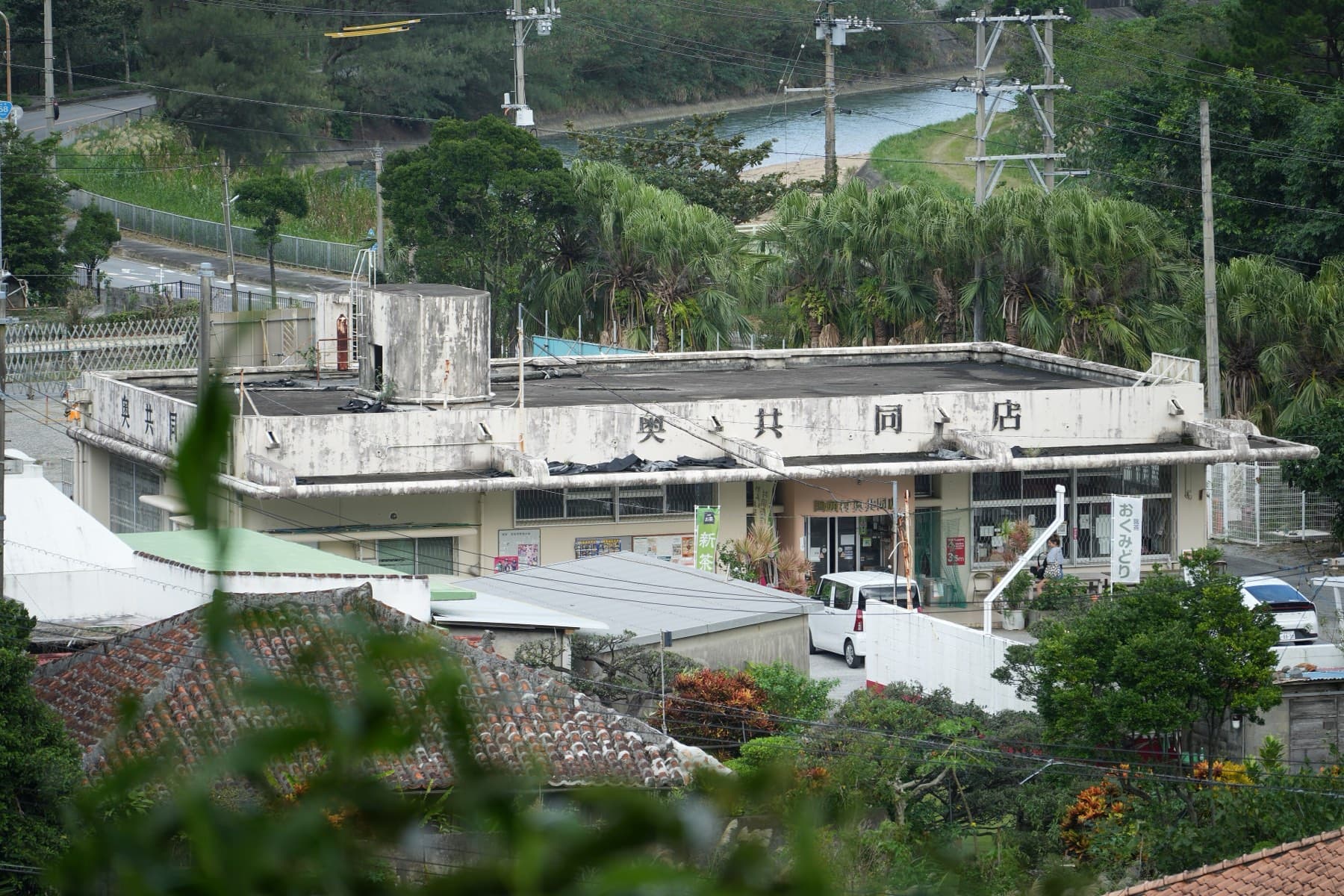
Kunigami's villages once each had a co-op store owned by the villagers. A 2026 survey found seven still open in 2025, at Hama, Toubaru, Ginama, Hedo, Oku, Ada and Aha (Matsuoka, 2026), and the Hedo store was shut on the author's visit. The Oku store dates from 1906, and Rurubu's undated listing gives its hours as 7:00 to 18:30, until 18:00 from November to March, closed on Mondays (Rurubu). The Fungawa dam park has toilets and no shop. Hiji Falls and its car park have been closed since storm damage in November 2024, so don't plan a stop there.
The map
Every place in this piece, on its island.
Contours from AWS Terrain Tiles; reefs and coast from OpenStreetMap.
Where should you rent a bike and stay?
Bring a bike up from Nago or Naha. The Kunigami Village Tourism Association lends three geared city bikes from its desk at Okuma for ¥800 up to four hours or ¥1,500 until 17:00 (tourism association), which suits a pootle along the Okuma waterfront. For the forest roads, Okinawa Ringyo in Haebaru rents road bikes from ¥4,400 a day, and HUBCYCLE OKINAWA in Nago rents road and cross bikes and will fix yours.
Okuma and Oku make the best bases. Okuma Private Beach & Resort sits on Route 58 at the loop's start with paid rental bikes and a drying room, though its pools shut from November to February. Okuyanbaru no Sato puts you in cottages at Oku, which lies round the corner from Cape Hedo, and Jalan showed February 2027 nights there from ¥12,920 for two. On the Pacific side, Ada Garden Hotel Okinawa and Yanbaru Experience Hotel Nunganiku split a two-day loop, and WASSA WASSA in Ogimi cooks dinner for three rooms of guests halfway between Nago and the cape on Route 58.
Sight
Cape Hedo
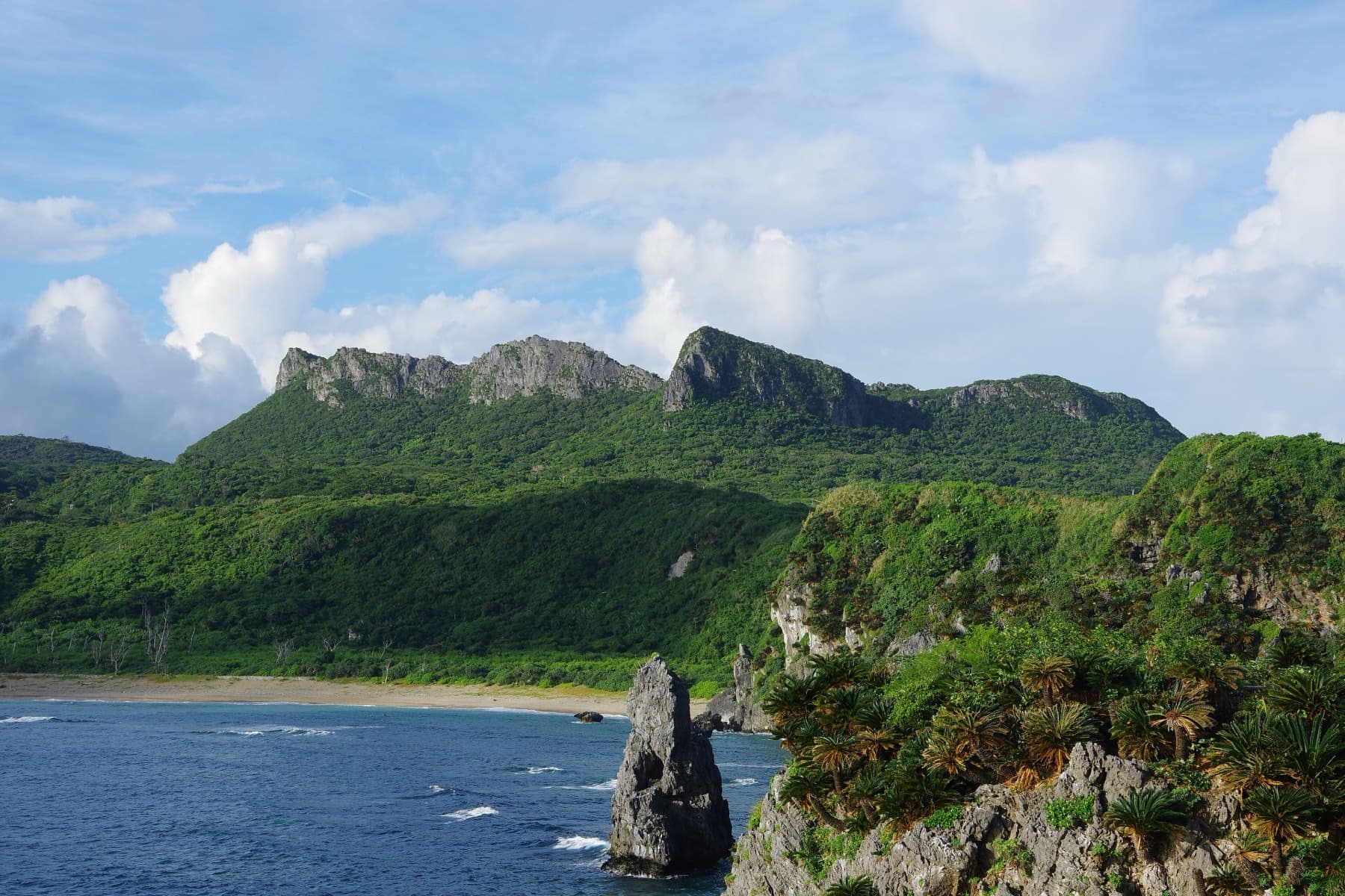
Cape Hedo in Kunigami is the northernmost point of Okinawa Island, and from its coral-limestone headland you can see Yoron, 22 km north in the Amami Islands, on clear days.
- Kind
- Cape
- Hours
- Open headland; Cape Hedo Tourist…

What is Yanbaru like in February?
Cool and green, and windier the further north you ride. The nearest full JMA station is Nago, and its 1991–2020 normals give February a mean high of 19.8 °C and a low of 13.9 °C (JMA, Nago). Yoron lies 22 km north of Cape Hedo, and its station averages 5.6 m/s from the north-north-west that month (JMA, Yoron), and that wind meets you head-on on the last stretch north to the cape. By our calculation the sun sets at Cape Hedo between about 18:05 and 18:25 in February, so start early and carry lights for the tunnels. Our riding climate page has the full year.
Can you ride the Tour de Okinawa course?
Yes. The race runs on public roads you can ride any day, and the event takes entries each summer for its November weekend. The 2026 citizen races run on 8 November, with the 140 km race starting from the Kunigami roadside station and the 100 km race from Oku, through what the organisers call the ups and downs of northern Yanbaru (Tour de Okinawa). The day before, the 163 km Yanbaru Century Ride rounds the north from Nago without a clock (cycling events). Entries for 2026 closed on 19 September, and our event page has the full list of courses.
Quick answers
Can you rent a bike in Yanbaru?
Only a few. The Kunigami Village Tourism Association lends three geared city bikes at Okuma for ¥800 up to four hours, and Okuma Private Beach & Resort rents bikes to guests. For the forest climbs, rent a road bike in Nago or from Okinawa Ringyo near Naha.
Is there a speed limit for the Okinawa rail in Yanbaru?
We found no special speed limit. Warning signs and road markings on Yanbaru's roads ask drivers to slow down, and local campaigns on Route 70 ask them to keep to the posted limits. Cars killed between 20 and 35 Okinawa rails in most years since 2015.
How long is the Yanbaru loop to Cape Hedo?
Ride Okinawa's Yanbaru hills loop from the Okuma roadside station measures 73.6 km by our route data, over Route 2 to the Pacific coast, north to Oku and round Cape Hedo. Its longest climb gains 334 m over 7.3 km from Yona.
Where can you buy food on the way to Cape Hedo?
At Michi-no-eki Yuiyui Kunigami in Okuma, which is the last big stop going north, and at the village co-op stores. Seven were open in Kunigami in 2025, including Oku's, and the Cape Hedo information office has a café upstairs.
We write from operators’ and agencies’ own pages, open map data and published research, and we date every fact we check. How we research.
Sources (20)
- https://www.env.go.jp/park/yambaru/intro/index.html
- https://www.ufugi-yambaru.com/
- https://www.ufugi-yambaru.com/roadkill/
- https://www.ufugi-yambaru.com/save/roadkill/
- https://www.mlit.go.jp/tagengo-db/R1-03025.html
- https://ryukyushimpo.jp/newspaper/entry-5401026.html
- https://ryukyushimpo.jp/region/entry-3263719.html
- https://www.dc.ogb.go.jp/hokkoku/ecoroad/kuina.html
- https://www.mlit.go.jp/report/press/road01_hh_002005.html
- https://www.pref.okinawa.jp/machizukuri/doboku/1013979/1022558/1014027.html
- https://www.mlit.go.jp/river/damc/action/pdf/dam094.pdf
- https://www.tour-de-okinawa.jp/citizen-road-race.html
- https://www.tour-de-okinawa.jp/course-cycling.html
- https://rurubu.jp/andmore/spot/80043093
- https://www.maps.jinsha.tmu.ac.jp/wp-content/uploads/2026/03/matsuoka26_91-96-1.pdf
- http://www.dc.ogb.go.jp/road/Michi-no-Eki/kunigami.htm
- https://kunigami-kanko.com/sightseeing-spots/cycling/
- https://www.vill.kunigami.okinawa.jp/overview/
- https://www.data.jma.go.jp/stats/etrn/view/nml_sfc_ym.php?prec_no=91&block_no=47940&year=&month=&day=&view=
- https://www.data.jma.go.jp/stats/etrn/view/nml_amd_ym.php?prec_no=88&block_no=1277&year=&month=&day=&view=
Related