Irabu
伊良部島Irau24°50′ N 125°10′ EMiyako Islandsfishingbridgesquiet
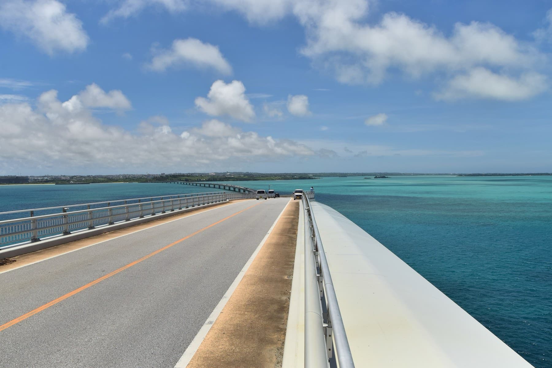
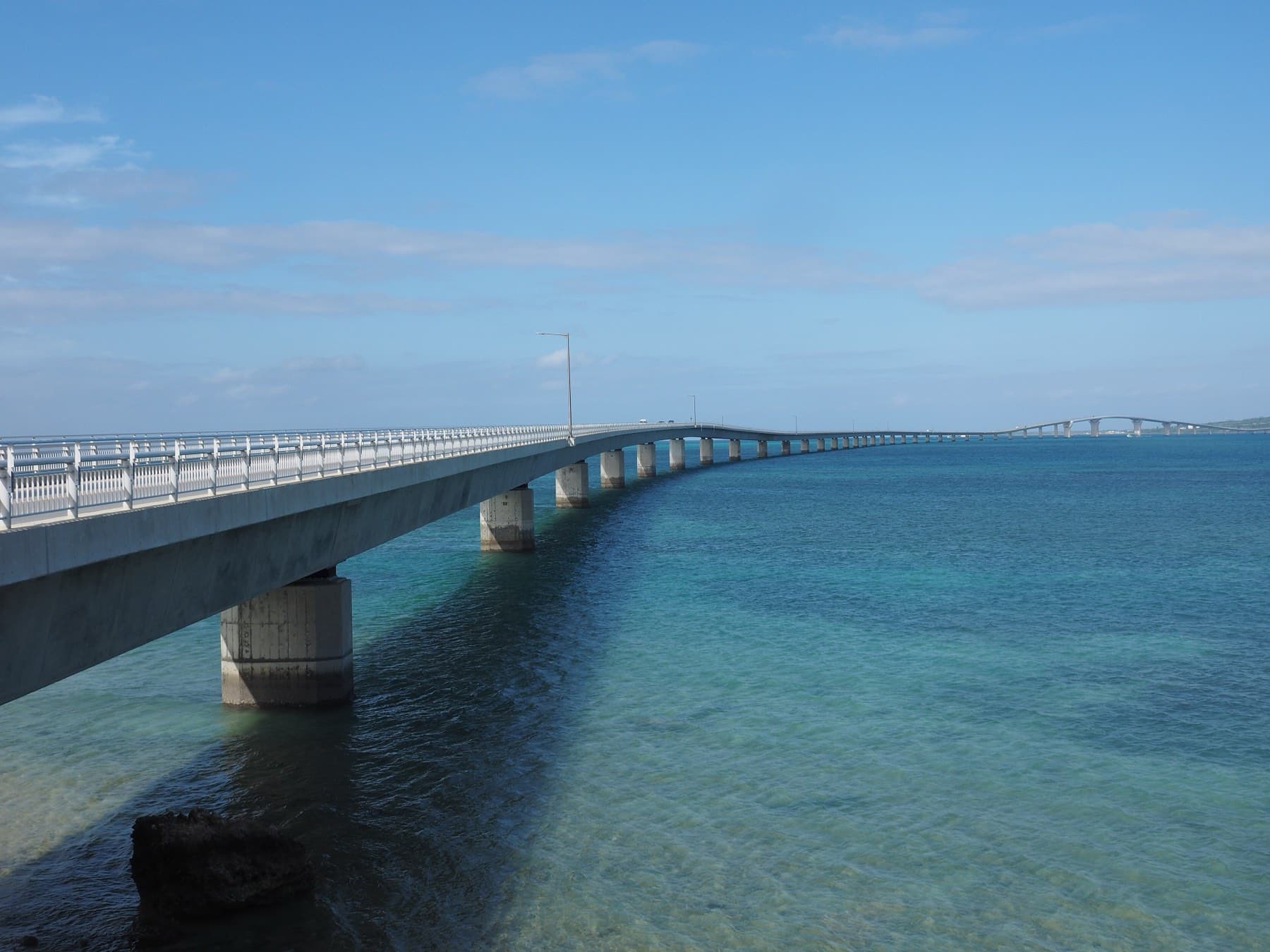
Irabu is a 29.07 km² island of about 4,600 people linked to Miyako-jima by the 3,540 m Irabu Ohashi and to Shimoji by six short channel bridges.
Photo Raita Futo from Tokyo, Japan · Wikimedia Commons · CC BY 2.0 and others, credited in the gallery
Until 2015 Irabu was a ferry ride from Hirara. Now the Irabu Ohashi lands you near Sarahama. The bonito-fishing port grew up under Shuri government policy, and descendants of Ikema islanders still live there. Fishing boats work from the east coast, and farmland runs west down to Sawada no Hama, where boulders thrown up by the 1771 Meiwa tsunami lie across the shallows.
The island's high point at Makiyama, 89.0 m, carries a lookout shaped like a sashiba hawk. Its districts are Irabu, Nakachi, Kuninaka, Nagahama and Sawada, with Ikemazoe and Maezatozoe making up Sarahama. Toguchi no Hama on the south coast is the swimming beach, and the channel bridges carry you onto Shimoji for 17END and Toriike.
Getting there
Ride or drive over the 3,540 m Irabu Ohashi from Kugai on Miyako-jima; the ferry to Sarahama stopped when the bridge opened on 31 January 2015. Miyako Shimojishima Airport sits on neighbouring Shimoji, and the channel bridges put it a few minutes from Irabu.
Getting around
By car, scooter or bike. The island is small and flat apart from the rise to Makiyama, and six short bridges cross the channel to Shimoji.
Riding on Irabu
Irabu is the reward at the end of the Irabu Ohashi: a quiet island of cane fields with the bonito port of Sarahama on the east coast and the runway and beaches of Shimoji across the channel to the west. The climb to Makiyama, 89.0 m, is the island's highest. In winter the north wind hits the north-west coast at Sawada no Hama.
Shimasora Pottering rents folding bikes and folding e-bikes at Miyako Shimojishima Airport next door; Aoyagi Cycle's mobile repairs cover Irabu.
December to March
Mild, with the same north and north-east wind as Miyako. The Shimoji and Irabu west-coast cave dives run from September to April, so divers often base here in winter. Kuninaka Shoten opens daily from 8:00 for breakfast before a ride.
Worth knowing
- Start a loop at the Umi no Eki at the end of the bridge and finish at Sarahama for fish.
- Irikunyaa Soki Tei stops at 30 servings; get there before 11:00.
Where to base
Towns and villages on Irabu町
FAQ
Quick answers about Irabuよくある質問
How do you get to Irabu island?
Cross the Irabu Ohashi from Kugai on Miyako-jima. The 3,540 m bridge is free and opened on 31 January 2015.
Is Irabu connected to Shimoji?
Yes. Six short bridges cross the narrow channel between Irabu and Shimoji, so the two islands ride as one.
How many people live on Irabu?
About 4,600. Okinawa Prefecture recorded 4,631 residents on Irabu on 1 January 2025.
How big is Irabu?
Irabu covers 29.07 km² and is home to about 4,631 people.
Can you cycle on Irabu?
Irabu is the reward at the end of the Irabu Ohashi: a quiet island of cane fields with the bonito port of Sarahama on the east coast and the runway and beaches of Shimoji across the channel to the west. The climb to Makiyama, 89.0 m, is the island's highest. In winter the north wind hits the north-west coast at Sawada no Hama.
What is Irabu like in winter?
Mild, with the same north and north-east wind as Miyako. The Shimoji and Irabu west-coast cave dives run from September to April, so divers often base here in winter. Kuninaka Shoten opens daily from 8:00 for breakfast before a ride.
Within 15 km
Stay nearby宿
Within 15 km
Eat and drink nearby食
Within 15 km
Beaches and swims nearby浜
Within 15 km
See nearby見る


Book it
Line up the trip around Irabu
Some of these links pay us a commission. It costs you nothing and keeps the guide independent.