guide · 7 min read
Which Miyako beaches are good in winter?
From December to March the north-north-east wind sets the rules on Miyako, so the beaches on the south and south-west coasts make the best winter swims, and nobody lifeguards any of them until spring.
By Ride Okinawa · Updated 2026-10

The Miyako beaches that work best in winter face south or south-west, because the wind from December to March blows mostly from the north-north-east and the island breaks it for them. That puts Yonaha Maehama, Shigira, Imgya Marine Garden and Toguchi no Hama on Irabu at the top of the list. Aragusuku sits open to the sea on the east coast, and Sawada no Hama and 17END face into the wind, so keep those for calm days and long walks. Nobody lifeguards a Miyako beach in winter.
We drew this in October 2026 from JMA's climate normals, Miyakojima City's beach pages and safety leaflet, the Japan Coast Guard's Miyako office, Okinawa Prefecture's ordinance and jellyfish lists and our own beach pages.
How do the winter beaches compare?
| Beach | Coast | In the winter wind | Swimming in winter | Watch for |
|---|---|---|---|---|
| Yonaha Maehama | South-west, 7 km of sand | Sheltered by the island | Unsupervised; the net comes out after summer | Typhoon-cut steps in the sand up to about 3 m high |
| Imgya Marine Garden | South, a natural inlet | Inlet opens to the south | Calm inside the inlet most days | Current outside the mouth changes through the day |
| Shigira | South, by the resort | Sheltered | Public beach with showers | Coral close in; don't snorkel alone |
| Toguchi no Hama | South coast of Irabu | Sheltered | Paid showers at the west entrance | Typhoon swell |
| Sunayama | West, over a dune | Wind comes from behind the dune | Not a designated swimming beach | Steep drop-offs; waves build fast in a west wind |
| Aragusuku | South-east, open sea | Exposed | Calm days only, in a wetsuit | Coral right by the sand |
| Sawada no Hama | North-west Irabu | Faces into it | Too shallow to swim | Flood tide runs strongly at springs |
| 17END | North end of the Shimoji runway | Faces into it | A walk on airport land | Keep to the permitted routes |
Which side of Miyako is out of the wind?
The south and south-west coasts are. JMA's 1991–2020 normals for its Miyakojima observatory give north-north-east as the most frequent wind in every month from December to March, averaging 5.3 m/s in December and easing to 4.6 m/s by March (JMA). The days when the strongest gust reaches 10 m/s fall from 4.8 in December to 2.6 in February. On a February day with the wind in the north-north-east, the island itself becomes your windbreak, and the south coast is where you swim.
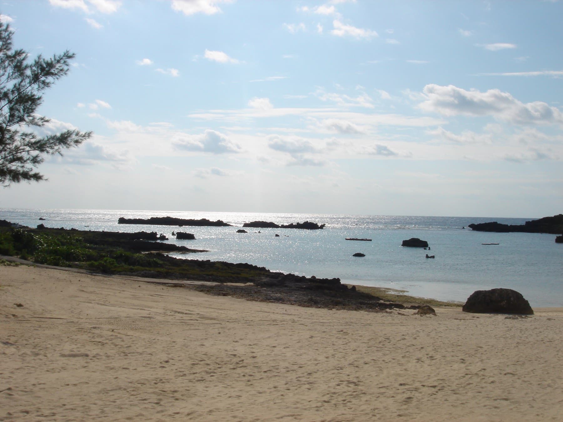
Read the map with that wind in mind. Maehama runs north-west from the Kurima Ohashi with the whole of Miyako at its back. Over on the south coast the water at Shigira and Imgya opens away from the wind, and so does Toguchi no Hama, which looks across a narrow channel to Shimoji. Sunayama faces west. The usual wind blows from behind its dune, and a west wind turns the cove rough in a hurry. Sawada no Hama and the runway end at 17END both look north into the weather.
How warm is the sea in February?
Warm enough for a wetsuit swim. By our averages of JMA's daily sea-surface normals at its fixed point south of Miyako-jima, the water runs 23.5 °C in January, 23.0 °C in February and 23.3 °C in March (JMA). Marea, a local dive shop, puts March water at 21–23 °C in its own season guide (Marea Miyakojima). On land, February averages a high of 21.1 °C and a low of 16.6 °C in JMA's normals. Our riding climate page carries the month-by-month figures.
Who watches the water in winter, and what are the rules?
Nobody watches it. Miyakojima City says on its beach page that most of its coast isn't a designated swimming beach and that anyone who swims there carries the responsibility for an accident (Miyakojima City). In summer the prefecture's list of beaches reporting by 14 August 2026 showed a habu-kurage net, a warning sign and vinegar at Maehama (Okinawa Prefecture). The prefecture's jellyfish alert ran from 1 June to 30 September in 2026 (Okinawa Prefecture), and the nets come out after the season.
Okinawa's rewritten water-safety ordinance has applied since 1 April 2026. Its Article 25 tells swimmers to stay out of the sea when the weather or the waves put them at risk and after drinking, and to wear a life jacket or a wetsuit in the water (Okinawa Prefecture ordinance). Snorkelling businesses registered under the same ordinance must send a guide with their customers.
The Miyako Coast Guard office's bulletin from February 2026 says about nine in ten people who died in marine-leisure accidents around Miyako weren't wearing a life jacket (Japan Coast Guard, Miyakojima). It flags a run of accidents involving people swimming alone. The city's leaflet adds that snorkelling accidents happen on Miyako every year (Miyakojima City leaflet). Swim with a friend, and stay out when a wave advisory or warning is up.
The map
Every place in this piece, on its island.
Contours from AWS Terrain Tiles; reefs and coast from OpenStreetMap.
What should you know about currents and reef cuts?
Water that piles up inside a reef has to drain out through the gaps, and that outflow is the current that catches swimmers. The 11th Regional Coast Guard calls it a reef current. Its 2008 study at Odo in Itoman measured flows of up to about 1.0 knot, and found that the tidal kind builds as the tide falls and that waves can drive one at high water too (Japan Coast Guard). At a 2023 session there, a Coast Guard section chief told swimmers caught in one to stay calm, let it carry them without wearing themselves out and wait for rescue where it stops, and he said a life jacket can save you (Ryukyu Shimpo).
On Miyako that means staying inside the inlet at Imgya, where the flow outside the mouth changes through the day. At Sawada no Hama the flood tide comes back across the flats fast at spring tides, so turn round early on a low-tide walk. Sunayama's water shelves off steeply, and Japanese Wikipedia records two incidents in 2014 that killed four swimmers on days with wave advisories in force (Wikipedia). At Toguchi no Hama, typhoon swell of about 2 m swept a snorkelling family out in August 2015 and three of them died (Wikipedia). JMA's 1991–2020 records show no typhoon approaching Okinawa from January to March (JMA), so in winter the warning to heed is the wave advisory.
Beach
Yonaha Maehama Beach
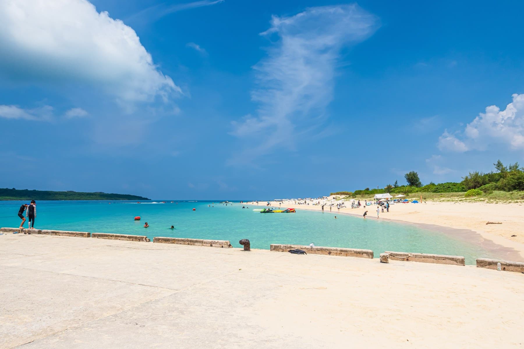
Yonaha Maehama is a 7 km white-sand beach on Miyako-jima's south-west coast with jellyfish nets in season, and TripAdvisor has named it Japan's top beach several times.
- Kind
- Beach
Which beaches suit a winter day?
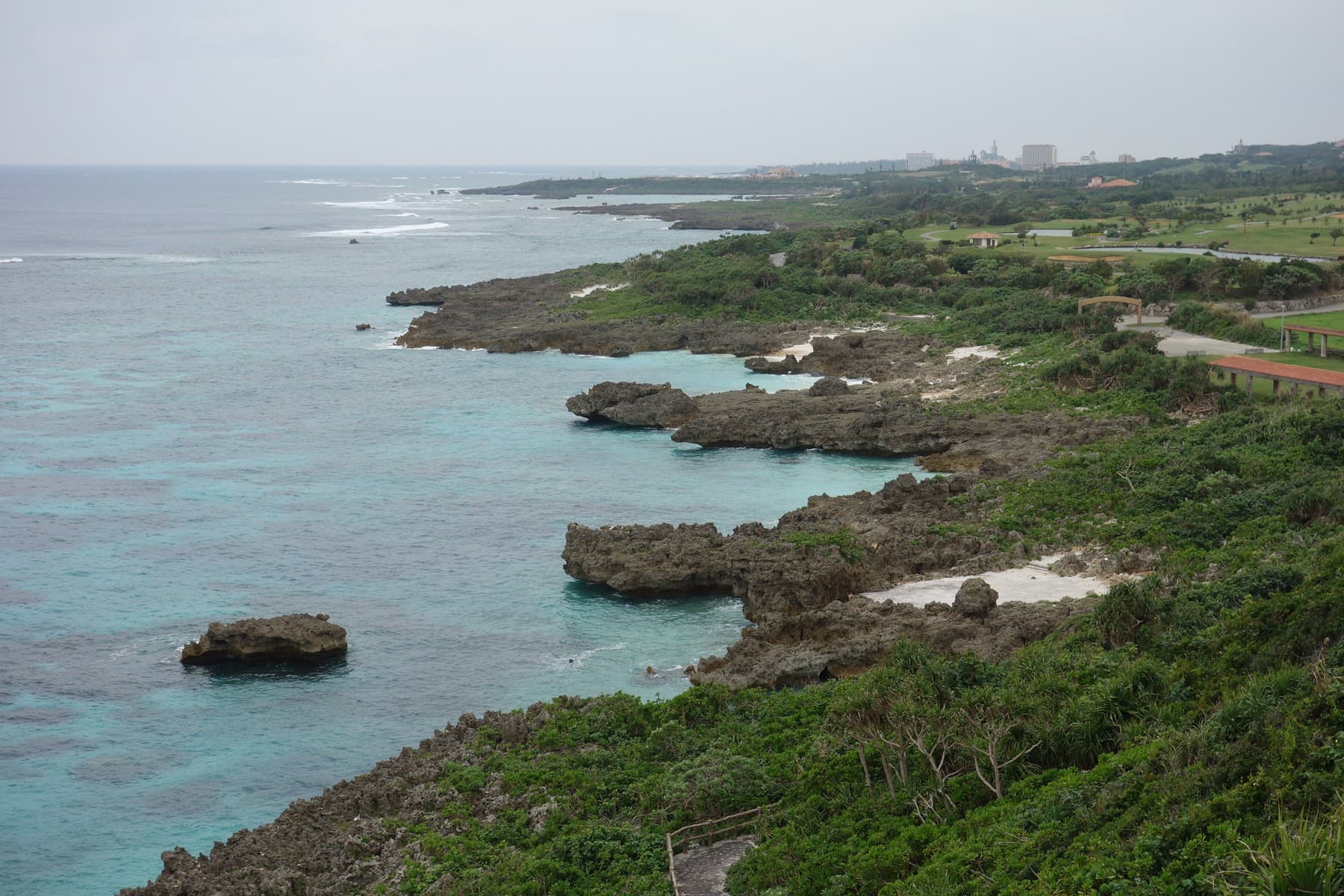
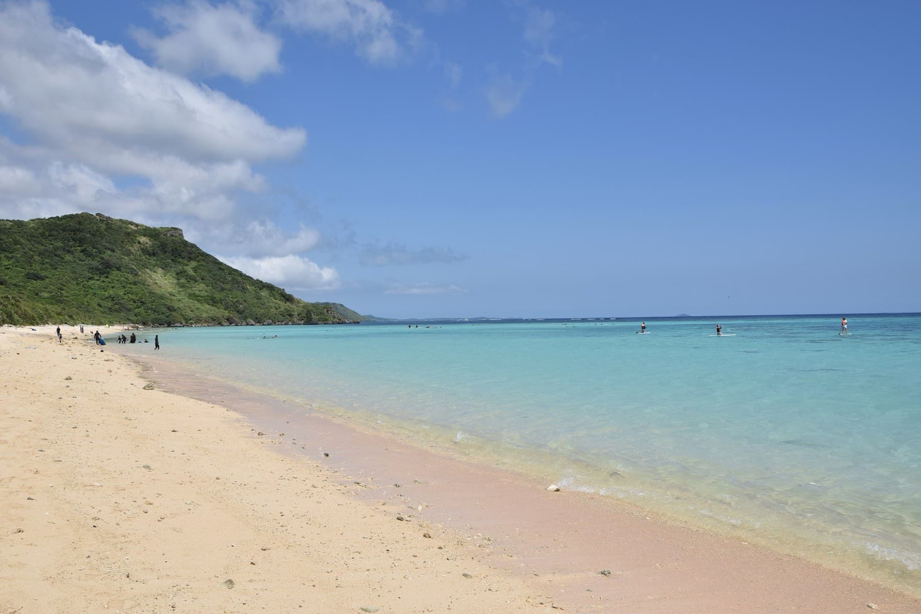
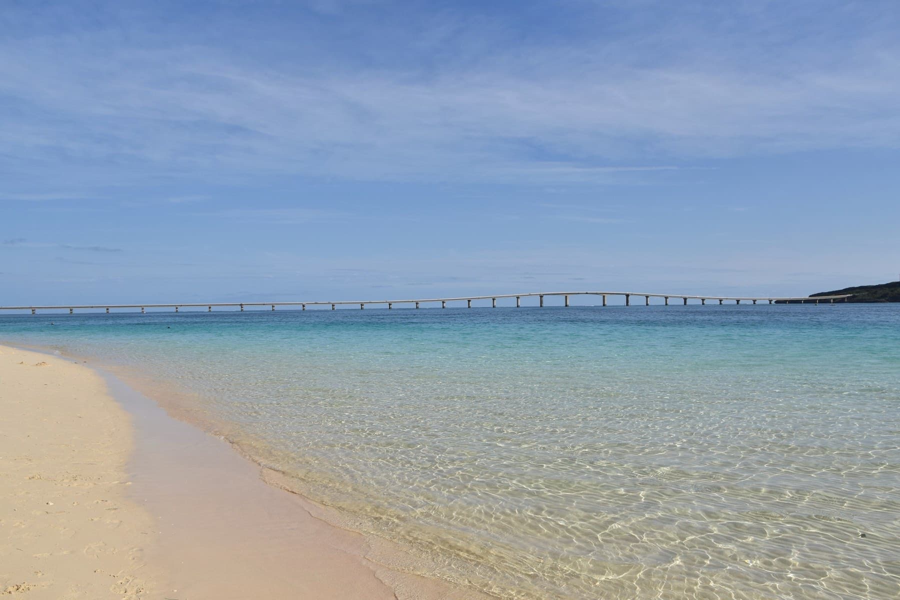
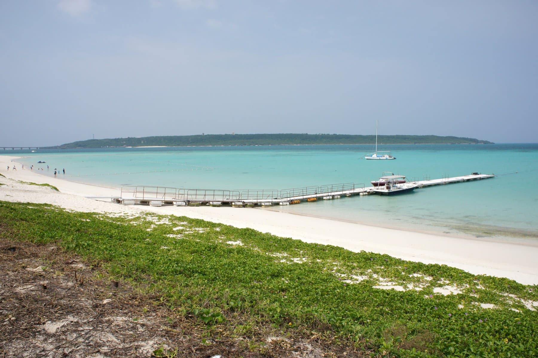
Imgya Marine Garden is the calmest swim. The city made a park around a natural inlet at Tomori on the south coast, with a footbridge across the mouth and a lookout on the hill, and dive schools teach beginners inside it. It sits a few minutes from the start of our Shigira to Higashi-Hennazaki ride. Shigira Beach lies a short way west below the resort. The city counts dozens of coral types and more than 100 fish species off its sand, and sea turtles turn up at times.
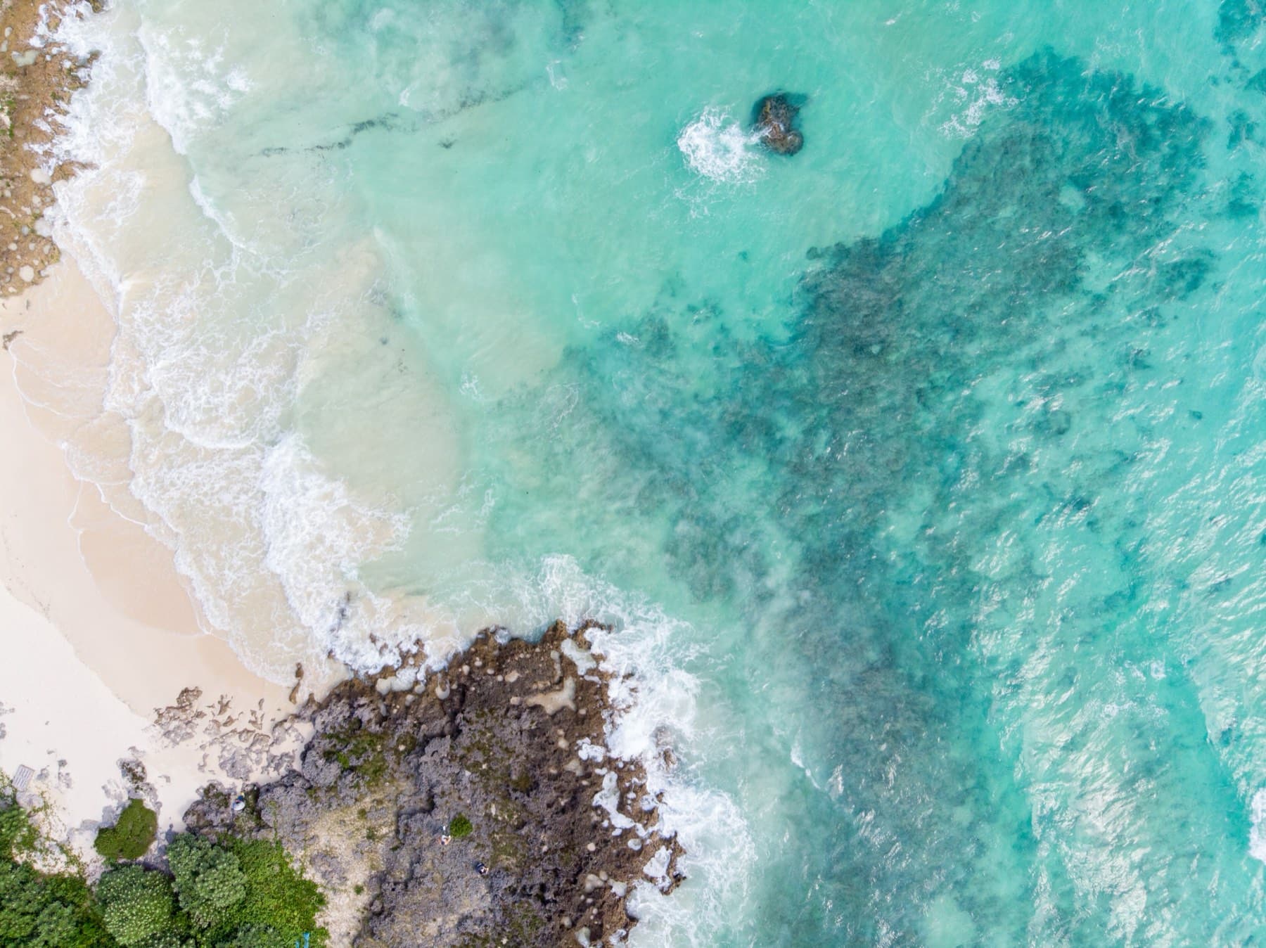
Yonaha Maehama gives you the long walk. Its 7 km of sand start at the Kurima Ohashi, and our Kurima loop starts and finishes at the beach car park, 12 km with 86 m of climbing by our route data. Typhoons in 2018 cut parts of the shore into steps up to about 3 m high, so watch children near the edges. Maipari pours fruit juice from the orchard next door.
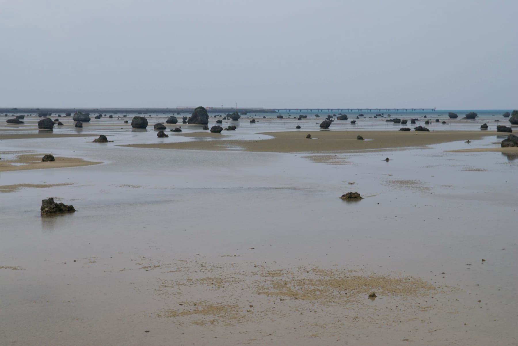
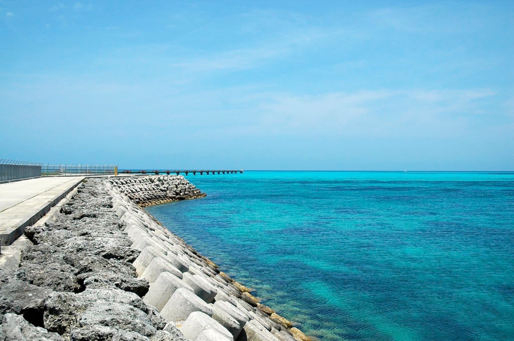
Toguchi no Hama is Irabu's 800 m curve of fine sand. The city calls it the islanders' own beach and says it rarely gets crowded. Paid showers stand at the west entrance, and Ijima Kanko Service serves Miyako soba on the beach. It sits just off our Irabu–Shimoji loop, which also passes Sawada no Hama and 17END. Sawada's shallows hold boulders the Meiwa tsunami threw ashore on 24 April 1771, and the coast faces the sunset (Wikipedia). At 17END, cars have been banned from the airport perimeter road since the terminal opened on 30 March 2019 (Wikipedia). Walk in from the terminal car park with a windproof layer. Across the Shimoji channel, Nakanoshima is a snorkelling inlet on Shimoji's west coast that Mapple lists (Mapple). We haven't written it up yet, and we found no official safety notes for it.
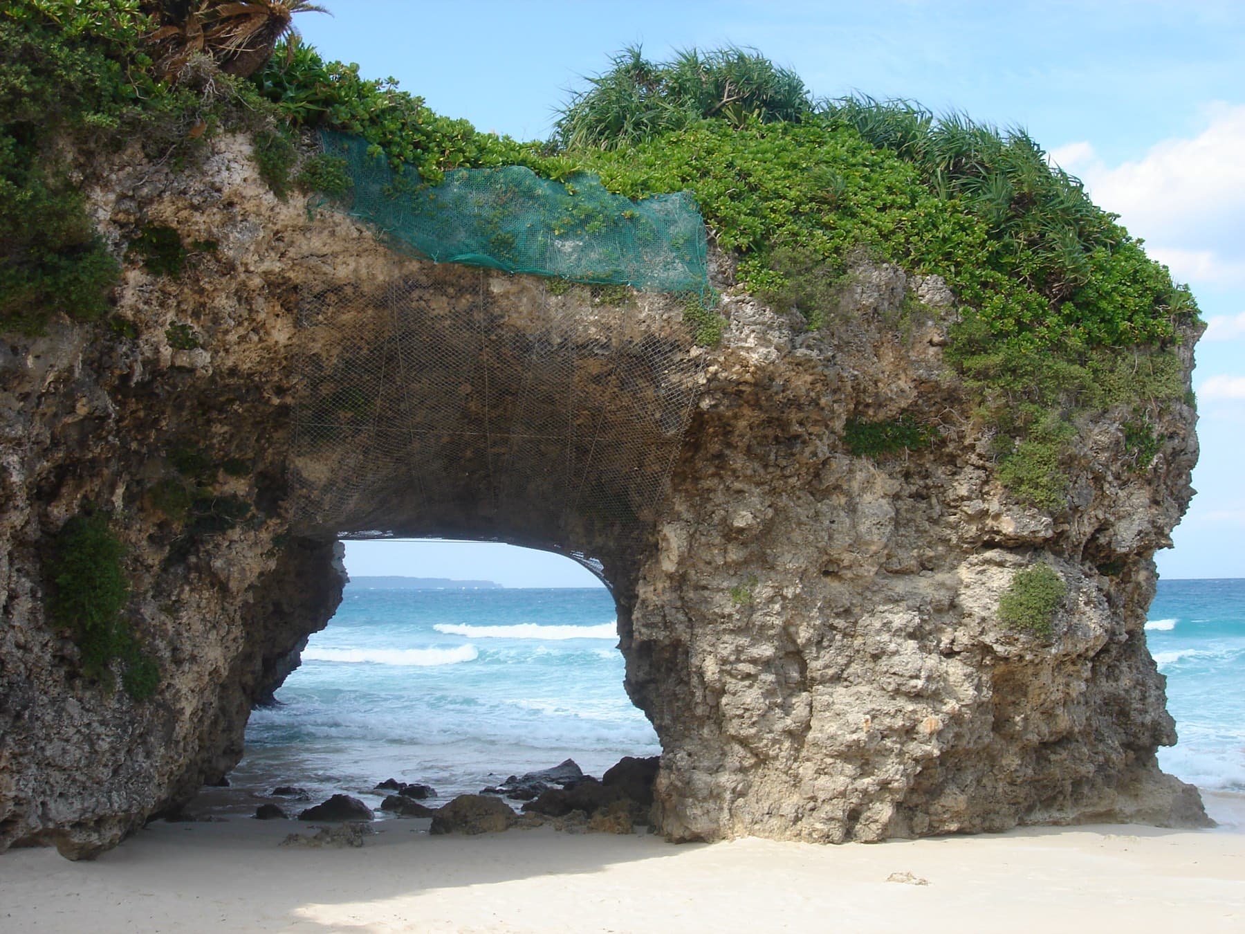
Aragusuku on the south-east coast has coral and fish in the shallows right by the sand, and it sits on our Miyako coast loop. It takes the open sea, so wait for a still morning and a rising tide. Sunayama is a sunset beach. The city fenced off its rock arch in October 2018 because of falling rock, and the west-facing cove has no lifeguard in any season.
Quick answers
Can you swim on Miyako in winter?
Yes, at your own risk. JMA's sea normals south of Miyako-jima average about 23 °C in February, and no Miyako beach has lifeguards in winter. Okinawa's water-safety ordinance asks swimmers to wear a life jacket or a wetsuit.
Which Miyako beach is most sheltered in winter?
Imgya Marine Garden on Miyako-jima's south coast is the most sheltered, because its inlet opens to the south, away from the north-north-east winter wind. Keep inside the inlet, since a current runs outside the mouth.
Is Yonaha Maehama netted in winter?
No. Okinawa Prefecture's August 2026 list showed a habu-kurage net at Maehama in summer, and the 2026 jellyfish alert ended on 30 September. A winter swim at Yonaha Maehama is unsupervised.
Is Sunayama Beach safe for swimming?
Sunayama Beach is not a designated swimming beach and has no lifeguards in any season. The water drops off steeply offshore and waves build fast in a west wind, and four swimmers died there in 2014 on days with wave advisories in force.
We write from operators’ and agencies’ own pages, open map data and published research, and we date every fact we check. How we research.
Sources (17)
- https://www.city.miyakojima.lg.jp/kanko/annai/beach.html
- https://www.city.miyakojima.lg.jp/kurashi/bousai/anzen/files/suinan-leaflet.pdf
- https://www.data.jma.go.jp/stats/etrn/view/nml_sfc_ym.php?prec_no=91&block_no=47927&year=&month=&day=&view=
- https://www.data.jma.go.jp/kaiyou/data/db/kaikyo/series/engan/engan706.html
- https://marea-miyako.jp/info/season/article_230305/
- https://www.kaiho.mlit.go.jp/11kanku/miyakojima/%E5%AE%89%E5%85%A8%E3%81%8B%E3%82%8F%E3%82%89%E7%89%88/R7%E5%B9%B4%E5%BA%A6%20%20%E5%AE%89%E5%85%A8%E3%81%8B%E3%82%8F%E3%82%89%E7%89%88%20%20.pdf
- https://www1.kaiho.mlit.go.jp/KAN11/hokoku/tyoryu/H20oodo/H20oodo.pdf
- https://ryukyushimpo.jp/news/entry-1742955.html
- https://www.police.pref.okinawa.jp/docs/2026020500014/file_contents/R8_02_54.pdf
- https://www.pref.okinawa.lg.jp/_res/projects/default_project/_page_/001/005/048/tyousa2.pdf
- https://www.pref.okinawa.lg.jp/_res/projects/default_project/_page_/001/005/048/r8japanese.pdf
- https://ja.wikipedia.org/wiki/砂山ビーチ
- https://ja.wikipedia.org/wiki/渡口の浜
- https://ja.wikipedia.org/wiki/佐和田の浜
- https://ja.wikipedia.org/wiki/下地島空港
- https://www.data.jma.go.jp/yoho/typhoon/statistics/average/average.html
- https://www.mapple.net/original/504754/
Related