guide · 8 min read
What is it like to ride Miyako's bridges to Irabu, Shimoji, Ikema and Kurima?
Miyako-jima's long bridges to Irabu, Ikema and Kurima give a flat island its climbs, and in February each span meets the north-north-east wind before a bowl of Miyako soba on the far side.
By Ride Okinawa · Updated 2026-10
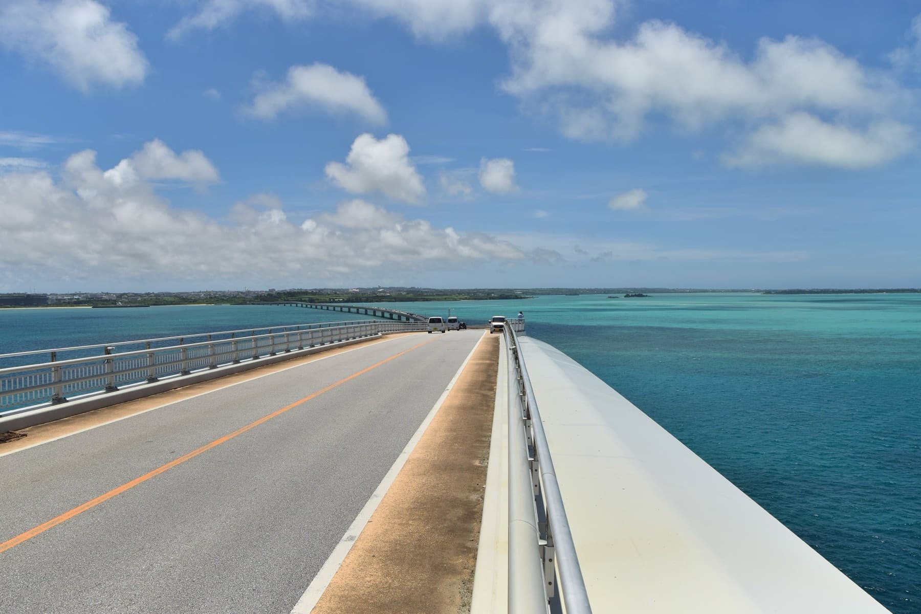
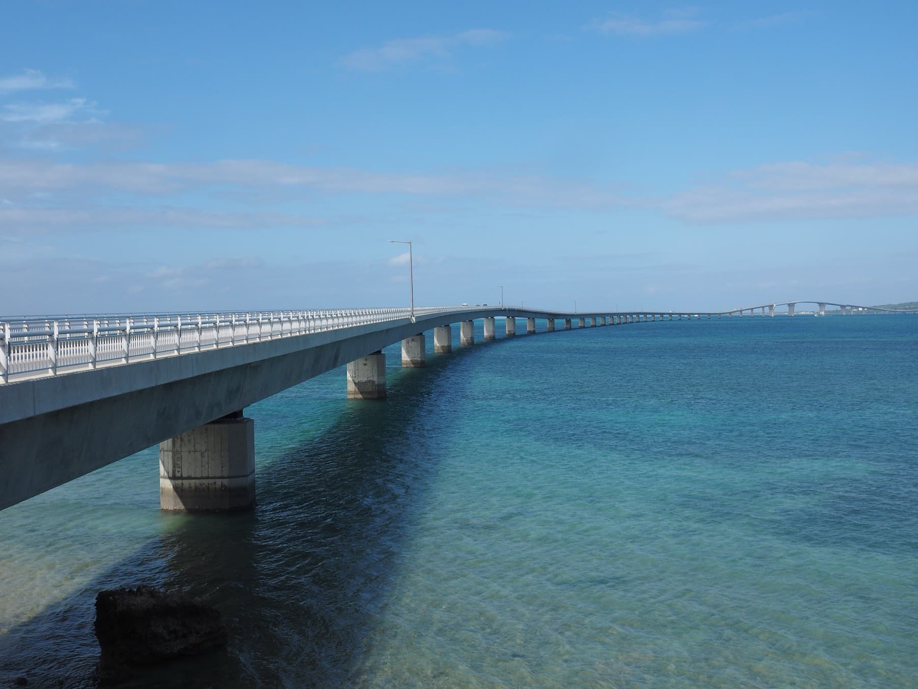
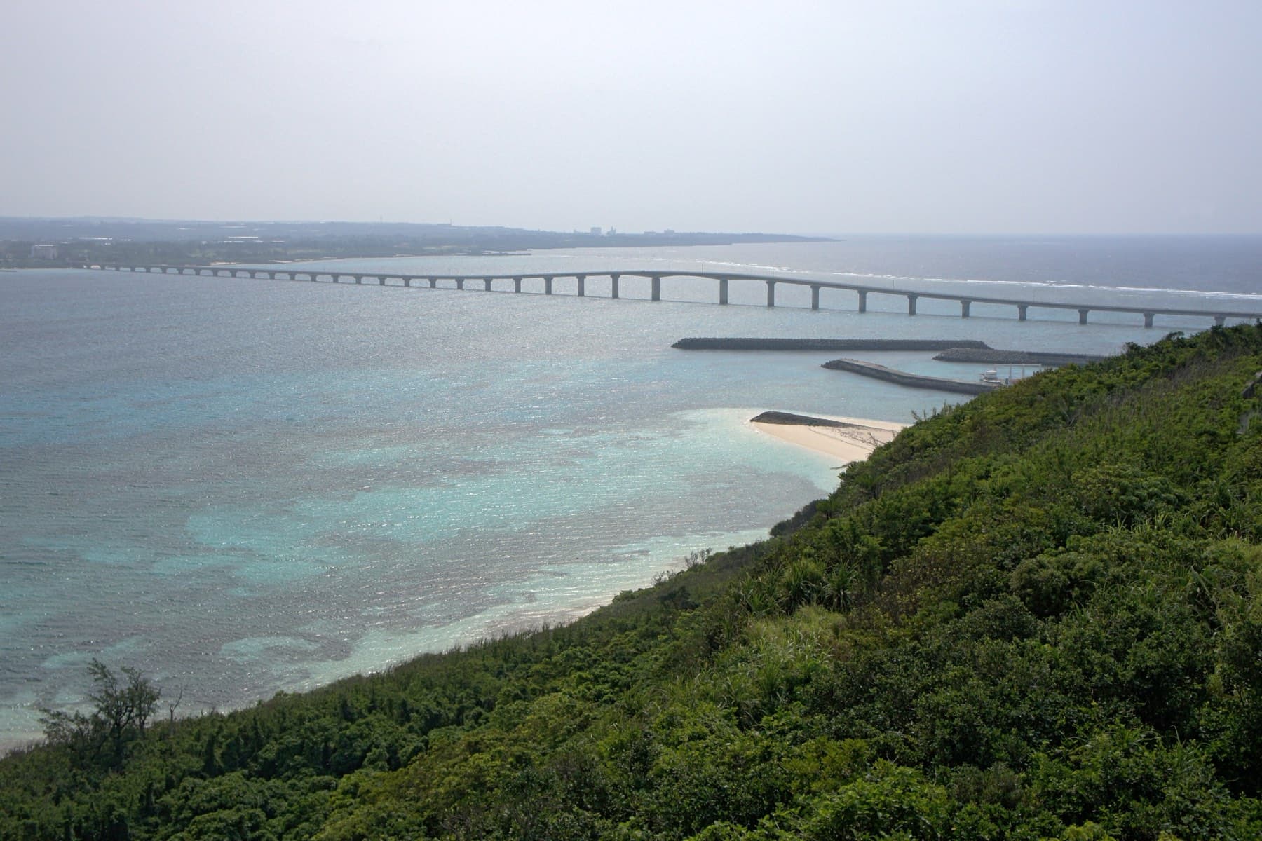
Three long bridges leave Miyako-jima. The longest is the 3,540 m Irabu Ohashi to Irabu in the west, and the Ikema Ohashi (1,425 m) and the Kurima Ohashi (1,690 m) reach the small islands off the north-west and south-west corners. From Irabu, six short bridges carry on over a narrow channel to Shimoji. Each long span rises over a shipping channel, so the bridges give an island of low limestone with no rivers its climbs. In February JMA's Miyakojima station records a north-north-easterly averaging 4.8 m/s, and nothing upwind breaks it on the bridges (JMA, Miyakojima). Ride the upwind leg first and keep both hands on the bars at the crests. Several soba shops near the bridges close once the noodles run out, so plan lunch early.
We drew on Okinawa Prefecture's island statistics, Miyakojima City and its tourism guide, JMA's normals and the shops' own pages and dated reviews, all read in October 2026. Bridge lengths and dates come from the prefecture and Japanese Wikipedia. Nobody from Ride Okinawa rode these bridges for this piece.
How do the four bridge rides compare?
| Crossing | Length | Opened | The climb | Winter wind on the way out | Soba at the far end |
|---|---|---|---|---|---|
| Irabu Ohashi | 3,540 m, about 6.5 km with its approaches | 31 January 2015 | Deck rises to 27 m over the main channel | Side-on from the right as you head west-north-west | Umi no Eki restaurant, daily 10:30–17:00 |
| Ikema Ohashi | 1,425 m | 14 February 1992 | Raised centre for boats | In your face riding out to Ikema | Kaimiru, daily 9:30–18:00 |
| Kurima Ohashi | 1,690 m | 13 March 1995 | 13.5 m of clearance at the navigation span | From the right riding west | Okinawa Soba Marukami, sign up before 10:00 |
| Irabu to Shimoji | Six short bridges over a channel 40–100 m wide | Not published | Shimoji's high point is 21.6 m | Open water and an open runway | Irabu Soba Kame, 11:00–16:00, closed Tuesdays |
How windy are Miyako's bridges in February?
JMA's normals for 1991–2020 give Miyakojima a mean February wind of 4.8 m/s, most often from the north-north-east, and the day's strongest wind reaches 10 m/s on 2.6 days of the month on average. December is rougher and has 4.8 such days. The station stands 38.5 m above the sea in Hirara, and JMA publishes no wind data for the bridges themselves, so expect the spans to feel stronger than the table. Our riding climate page sets Miyako beside the other islands.
The direction decides each crossing. On the Irabu Ohashi the wind comes across the deck from the north, and a gust over the 27 m crest can push you toward the traffic lane. Riding out to Ikema you meet it head-on, and it helps you home. Heading west over the Kurima Ohashi, you take it on your right shoulder. The Ikema Ohashi closes when a storm warning is in force and the wind reaches 25 m/s, and the authorities give an hour's notice.
How do you ride the Irabu Ohashi?
The bridge leaves Kugai beside Hirara port and lands on Irabu near Nagayama after 3,540 m of open water. It has one lane in each direction and a 1.25 m shoulder on both sides, and that shoulder is where you ride, since there is no separate path. Stopping on the central section is banned (Japanese Wikipedia). Take your photographs from the Umi no Eki roadside station on the Irabu side. Its upstairs restaurant looks straight back along the span and serves Miyako soba from 10:30 every day.
Eat before you go. Hisamatsu Seimenjo is a noodle factory in Kugai that opens its own counter from 7:00 to 9:00, Monday to Saturday, and a July 2026 Tabelog reviewer paid ¥500 for kamatama soba (fresh noodles tossed with egg). People start queuing around 6:45. Cross west in the morning and east in the afternoon, and the sun stays behind your camera both times.
What is there to ride on Irabu and Shimoji?
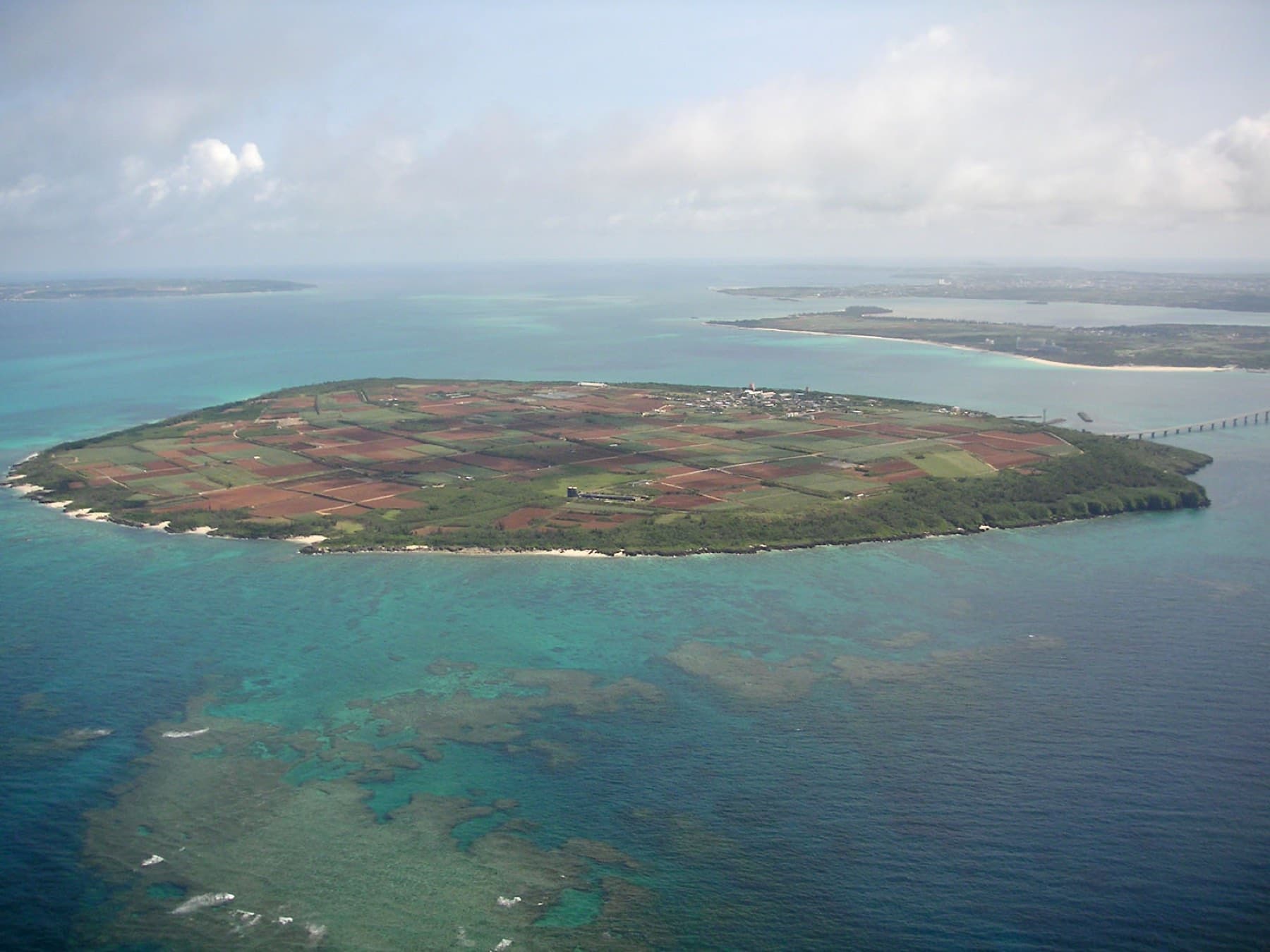
Irabu is a 29.07 km² island of cane fields with the bonito port of Sarahama on its east coast. Turn uphill near the bridge end for Makiyama Observatory on the island's high point at 89.0 m. Its white deck is shaped like a sashiba hawk and looks back to Miyako. Six short bridges then cross the channel to Shimoji, and from the air that channel looks like a river.
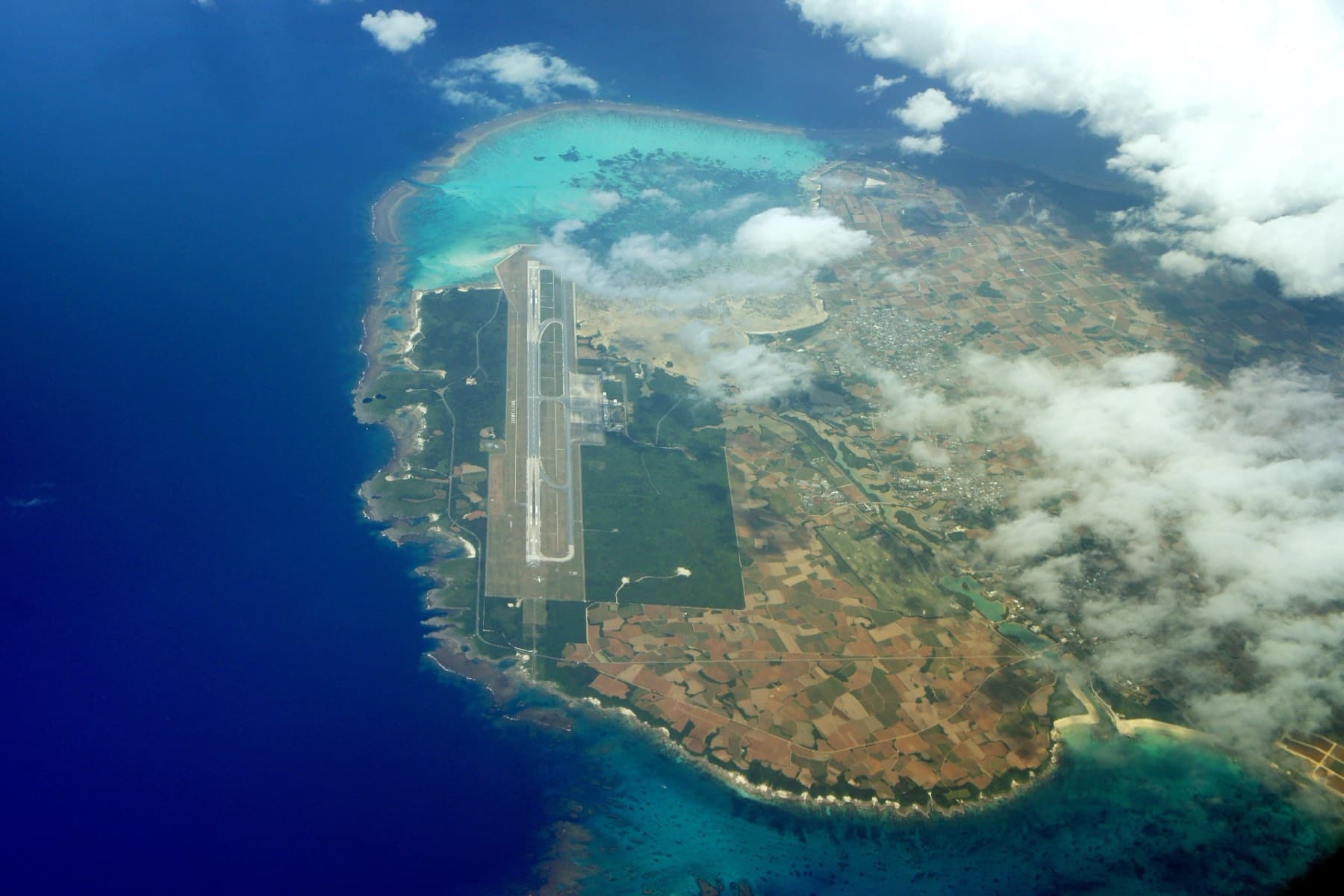
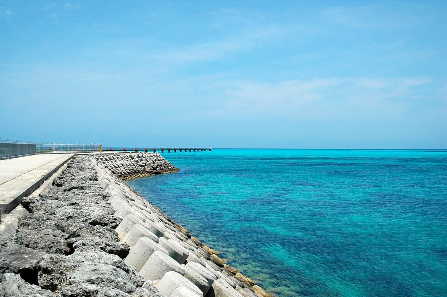
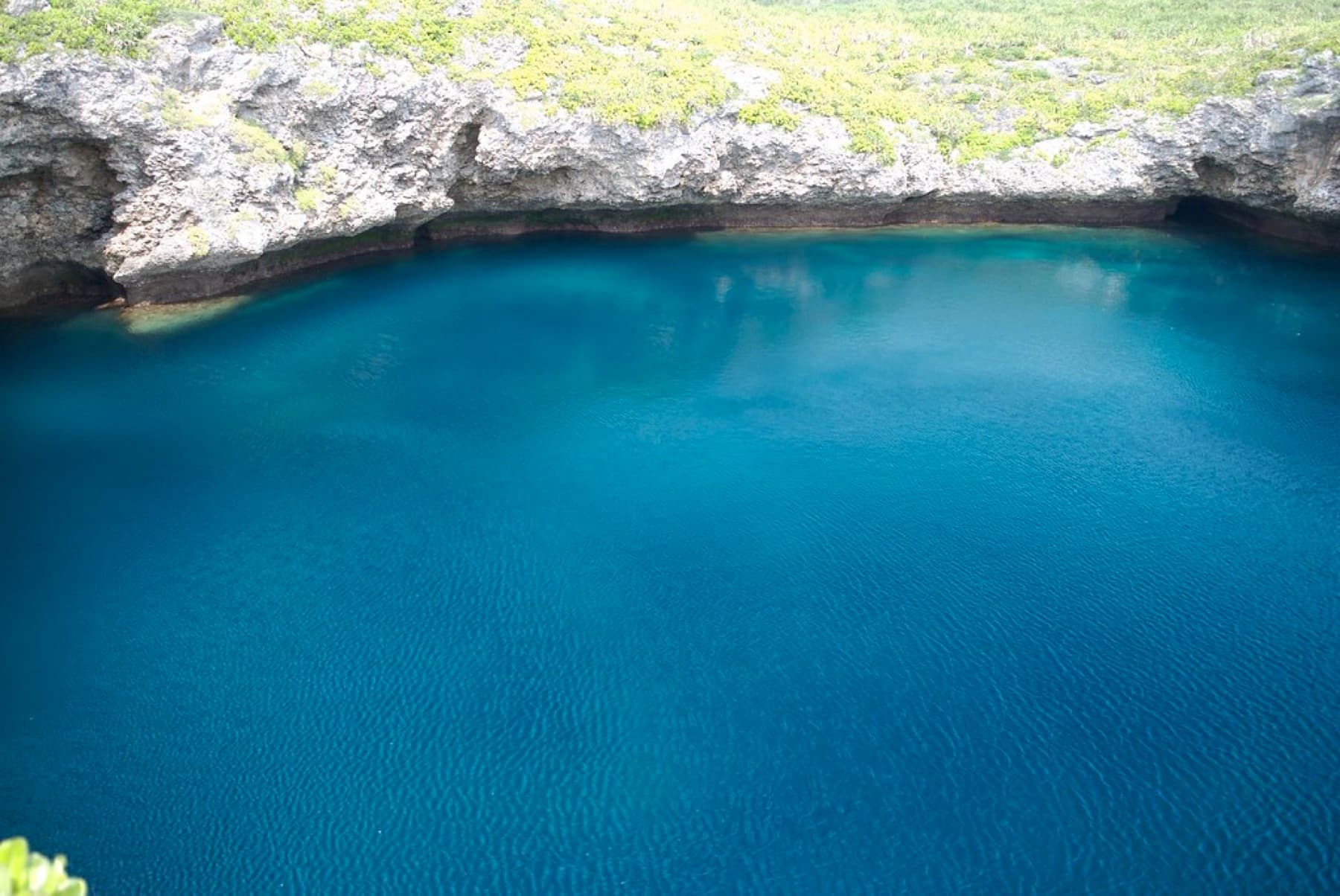
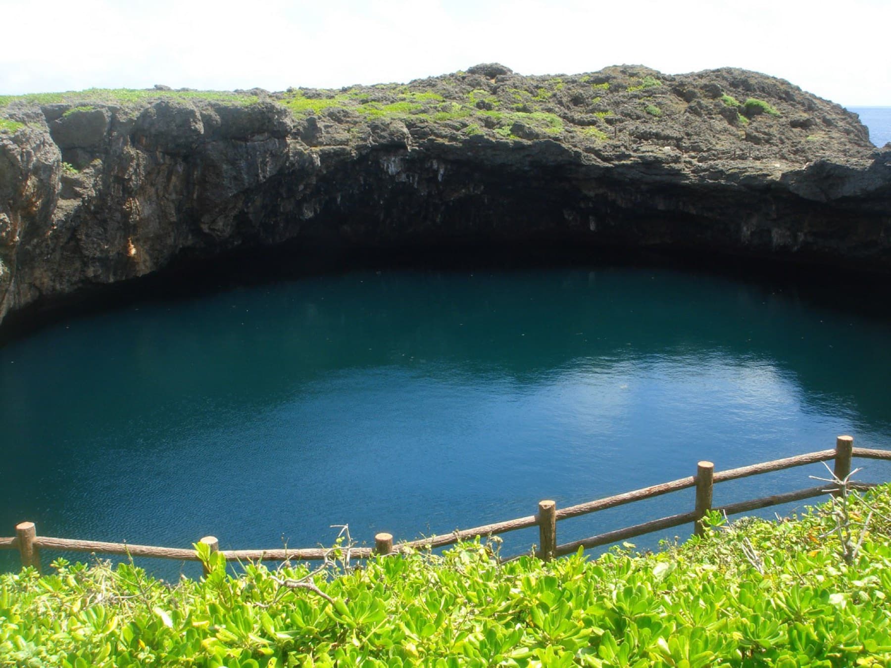
Most of Shimoji is the 3,000 m runway of Shimojishima Airport. At its north end, 17END is the shoreline where the approach runs out over the shallows, and since the passenger terminal opened in 2019 the perimeter road has been closed to vehicles, so you walk in from the free terminal car park. Plan it for low water and good light, and bring a windproof, because the runway end points north into the winter wind. On the west coast the Toriike sinkholes measure 75 m and 55 m across and join underwater. Obiiwa is a huge boulder that a tsunami threw up on the shore, and islanders now pray there, so treat it as a place of worship.
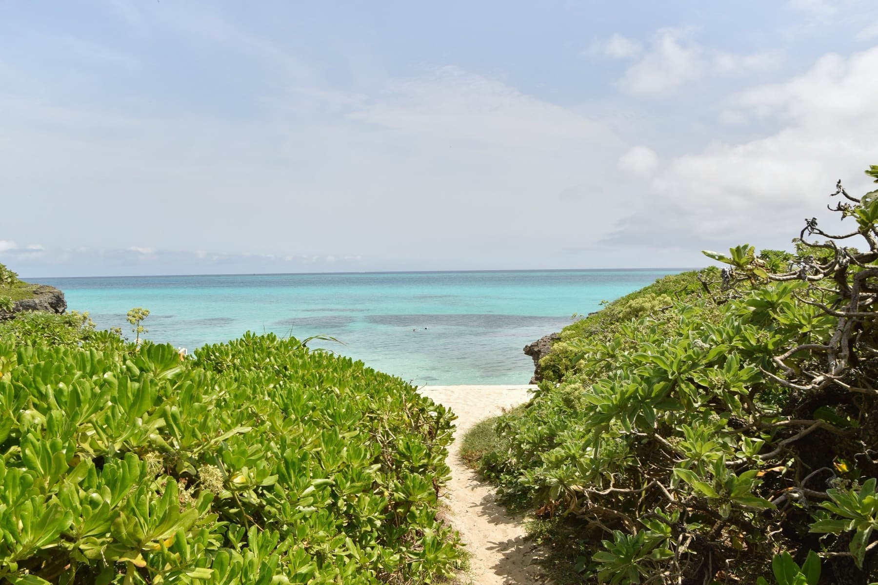
Back on Irabu, Sawada no Hama is a shallow tidal beach scattered with boulders from the 1771 Meiwa tsunami. It faces north-west into the winter wind, so come for the boulders and the sunset. Toguchi no Hama on the south coast runs for 800 m and faces away from the north wind, and on a sunny February day the sand there is warm. At the beach, Ijima Kanko Service runs a soba counter, and an August 2026 reviewer paid ¥850 there for Miyako soba. For an early start, Kuninaka Shoten opens at 8:00 every day three minutes from the airport, and Irikunyaa Soki Tei stops serving after 30 bowls of its bone-in soki soup.
Shimasora Pottering rents geared folding bikes for ¥3,000 a day and 16-inch folding e-bikes for ¥4,800 at the airport information counter (2026/27 prices). Riders need to be 10 or older and at least 140 cm tall, and the counter opens 9:00–19:00 through the winter.
How do you ride to Ikema?
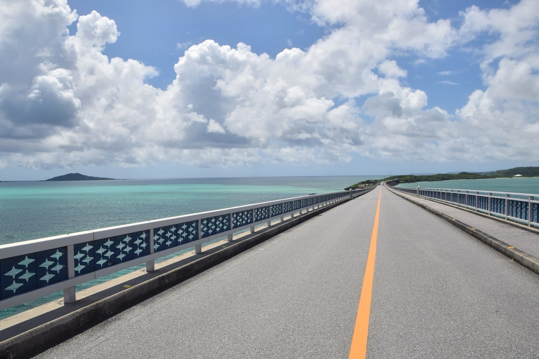
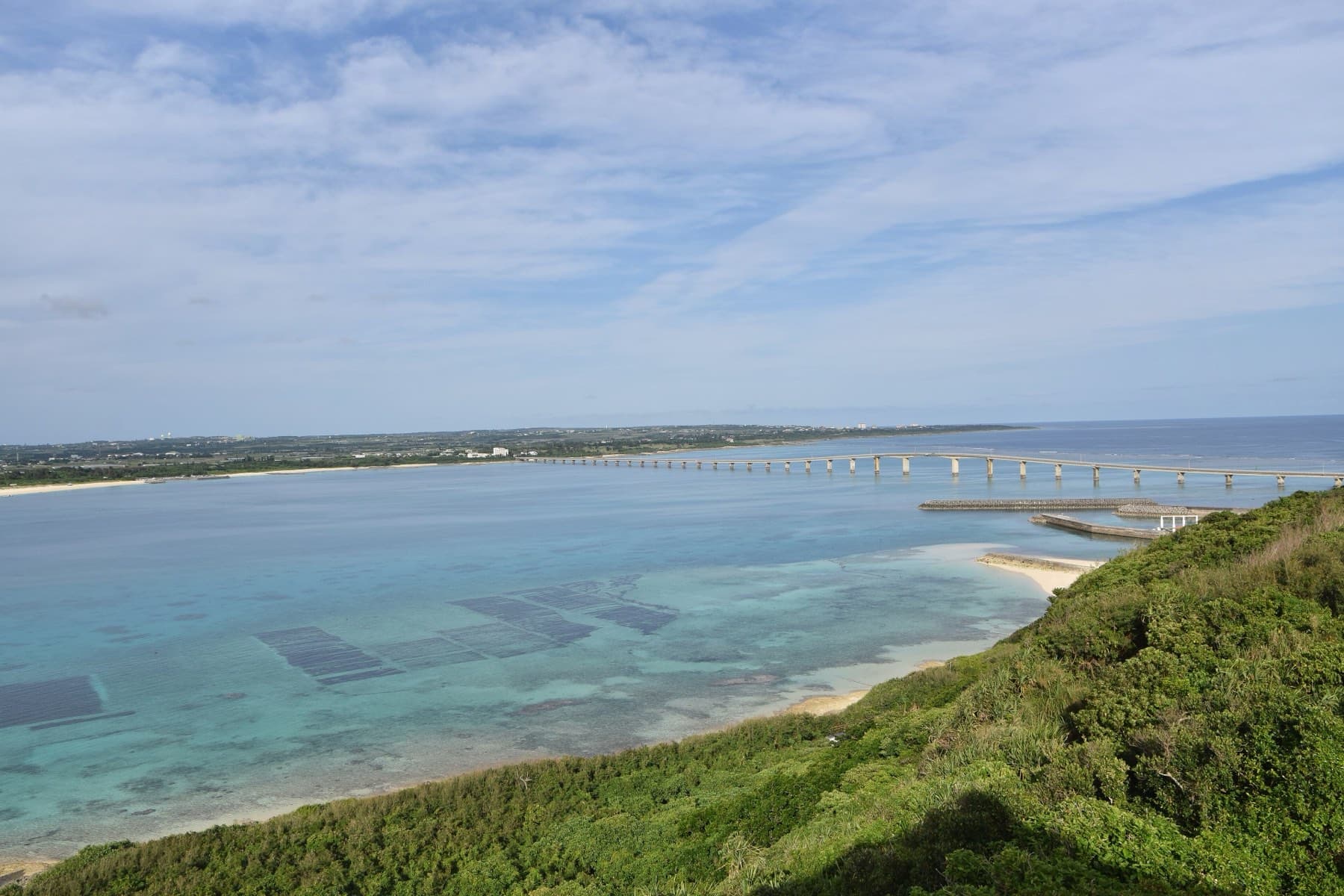
The Ikema Ohashi starts at Yowatarizaki on Miyako's north-west tip. Next door, Miyako horses graze under the wind turbines on the cape of Nishi-Hennazaki. The viewing area on the Miyako side gives the classic photograph of the span, so stop there on the way out. The bridge crosses 1,425 m of shallow reef water with a gentle hump in the middle for boats, and the north wind meets you head-on until you land.
Ikema has 10.1 km of coastline and a high point of 28 m, so the loop is short and flat. Its horseshoe curves round the 38 ha Ikema Wetland. That marsh is the largest wetland in Okinawa Prefecture, and a steel tower looks out over it. Kaimiru stands just past the bridge with beni-imo mochi and Miyako soba. For lunch, Ikema Shokudo in the Yabiji Center at the harbour serves island fish from 11:00 to 14:00 and closes on Thursdays. The Yabiji reef tours from Ikema port stop for the winter. Each April the bike leg of the All Japan Triathlon Miyakojima crosses this bridge, and our triathlon course page traces the bike leg.
How do you ride to Kurima?
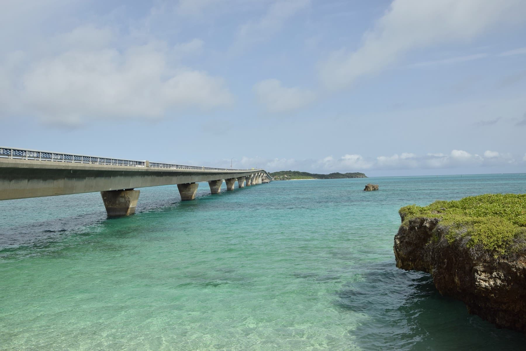
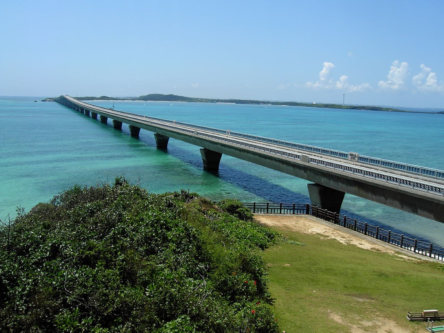
The Kurima Ohashi leaves from the south-east end of Yonaha Maehama and runs 1,690 m west. It was built as a farm road, and a pipeline under the deck still carries irrigation water and power from Miyako's underground dam to the cane and tobacco on Kurima. From the deck you look down on the shallows off Maehama and along its 7 km of sand.
Get to the far side before 10:00 if you want lunch at Okinawa Soba Marukami. The shop tops Tabelog's soba ranking for the Miyako islands and takes names on a whiteboard before its 10:30 opening. Reviewers describe a light, rich bonito broth under three-layer pork. It closes on Sundays and on the second and fourth Mondays. Sign up and loop the island while you wait. Kurima's coast runs 9.0 km, and its high point is 47.3 m. The three-storey Ryugu-jo Observatory sits two minutes from Marukami and looks across to Maehama and Irabu. AOSORA PARLOR sells smoothies just over the bridge. Nagamahama on the west side is 1 km of undeveloped sand with no toilets or parking, and it is where Kurima watches the sunset.
Which bike should you rent on Miyako?
Shima no Cycling Miyakojima in central Hirara rents Tokyobike Sport road bikes for ¥4,000 a day and cross bikes for ¥3,000 when you book two or more days ahead, and it lends the road bikes only to riders who can change a tube. It closes on weekday Tuesdays and from 31 December to 6 January. BIGJOY Miyakojima rents e-bikes with large Yamaha batteries for ¥2,500 per 24 hours from Hirara, and it rates the battery at about 90 km. Aoyagi Cycle is a mobile mechanic who comes out free on Miyako, Ikema, Kurima and Irabu. Puncture repairs start at ¥1,500 on its April 2026 list, and the service pauses on rainy days.
The sea runs about 23 °C in February by our averages of JMA's daily normals for the water south of Miyako, and Marea Miyakojima puts March water at 21–23 °C. Lifeguards and jellyfish nets on the beaches are seasonal, so any February swim is unsupervised and a wetsuit helps. Our Miyako soba page explains the noodles you'll be eating at every stop.
Quick answers
How long is the Irabu Bridge in Miyako?
The Irabu Ohashi is 3,540 m long, and with its approach roads the crossing runs to about 6.5 km between Kugai on Miyako-jima and Irabu. It opened on 31 January 2015 and charges no toll. The deck climbs to 27 m over the main channel.
Can you cycle across the Irabu Bridge?
Yes. Bicycles ride on the road of the Irabu Ohashi. It has one lane each way and a 1.25 m shoulder on both sides. Stopping on the central section is prohibited, so take photographs from the Umi no Eki on the Irabu side.
Is it windy on Miyako's bridges in winter?
Yes. JMA's Miyakojima station averages a north-north-easterly of 4.8 m/s in February, and the bridges to Irabu, Ikema and Kurima have nothing upwind to break it. Riders on the Ikema Ohashi meet it head-on on the way out, and on the Irabu Ohashi it blows across the deck.
Where can you eat Miyako soba near the bridges?
Hisamatsu Seimenjo serves fresh soba from 7:00 to 9:00 in Kugai at the Miyako end of the Irabu Ohashi. Kaimiru sells Miyako soba just past the Ikema Ohashi, and Okinawa Soba Marukami on Kurima takes names on a whiteboard before 10:00 for its 10:30 opening.
Can you rent a bike at Shimojishima Airport?
Yes. Shimasora Pottering rents geared folding bikes for ¥3,000 a day and folding e-bikes for ¥4,800 a day from the information counter at Miyako Shimojishima Airport (2026/27 prices). The counter opens 9:00–19:00, and riders must be 10 or older and at least 140 cm tall.
We write from operators’ and agencies’ own pages, open map data and published research, and we date every fact we check. How we research.
Sources (20)
- https://www.pref.okinawa.lg.jp/_res/projects/default_project/_page_/001/038/825/01.chapter1.r8.pdf
- https://www.city.miyakojima.lg.jp/kanko/annai/keisyouchi.html
- https://miyako-guide.net/spots/spots-840/
- https://miyako-guide.net/spots/spots-893/
- https://miyako-guide.net/spots/spots-858/
- https://miyako-guide.net/spots/spots-874/
- https://ja.wikipedia.org/wiki/伊良部大橋
- https://ja.wikipedia.org/wiki/池間大橋
- https://ja.wikipedia.org/wiki/来間大橋
- https://ja.wikipedia.org/wiki/下地島
- https://ja.wikipedia.org/wiki/池間湿原
- https://shimojishima.jp/
- https://tri-miyako.com/coursemap/
- https://marea-miyako.jp/info/season/article_230305/
- https://marea-miyako.jp/diving-spot/
- https://www.data.jma.go.jp/stats/etrn/view/nml_sfc_ym.php?prec_no=91&block_no=47927&year=&month=&day=&view=
- https://www.data.jma.go.jp/stats/etrn/view/nml_sfc_ym.php?prec_no=91&block_no=47927&year=&month=&day=&view=a1
- https://www.data.jma.go.jp/kaiyou/data/db/kaikyo/series/engan/txt/area706-stat.txt
- https://tabelog.com/en/okinawa/A4705/A470503/47026984/
- https://tabelog.com/en/okinawa/A4705/A470503/47001454/
Related