guide · 7 min read
Is Kume-jima worth two days from Naha?
Yes. Fly over in about 35 to 40 minutes or sail in three hours, give one morning to the boat out to the Hatenohama sandbar, and ride the 37 km island loop on an e-bike the next day.
By Ride Okinawa · Updated 2026-10
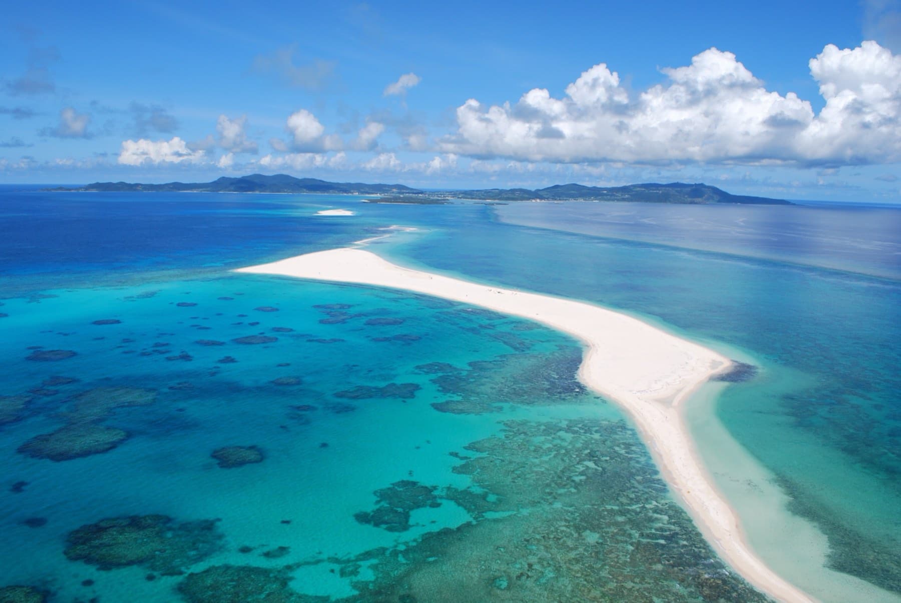
Yes, if you give it two days. Kume-jima lies about 100 km west of Naha, and you reach it in 35 to 40 minutes by air or three hours by ferry, so a morning arrival leaves time for the boat out to the Hatenohama sandbar, and the second day goes on the island loop by e-bike. That ride passes the rock pavement of Tatami-ishi and the island's silk weavers before it climbs to a lookout over the reef.
We drew on the Kumejima Town Tourism Association's guides and its May 2026 rental list, the airport and ferry company timetables, the Agency for Cultural Affairs' heritage records and Ryukyu Shimpo reports, read in October 2026. The loop figures come from our own route model, and nobody from Ride Okinawa rode it for this piece.
How do you get to Kume-jima from Naha?
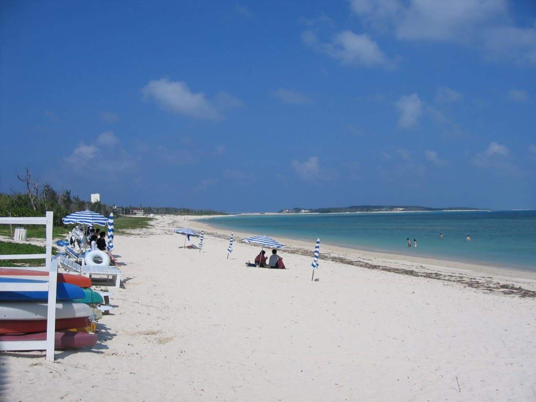
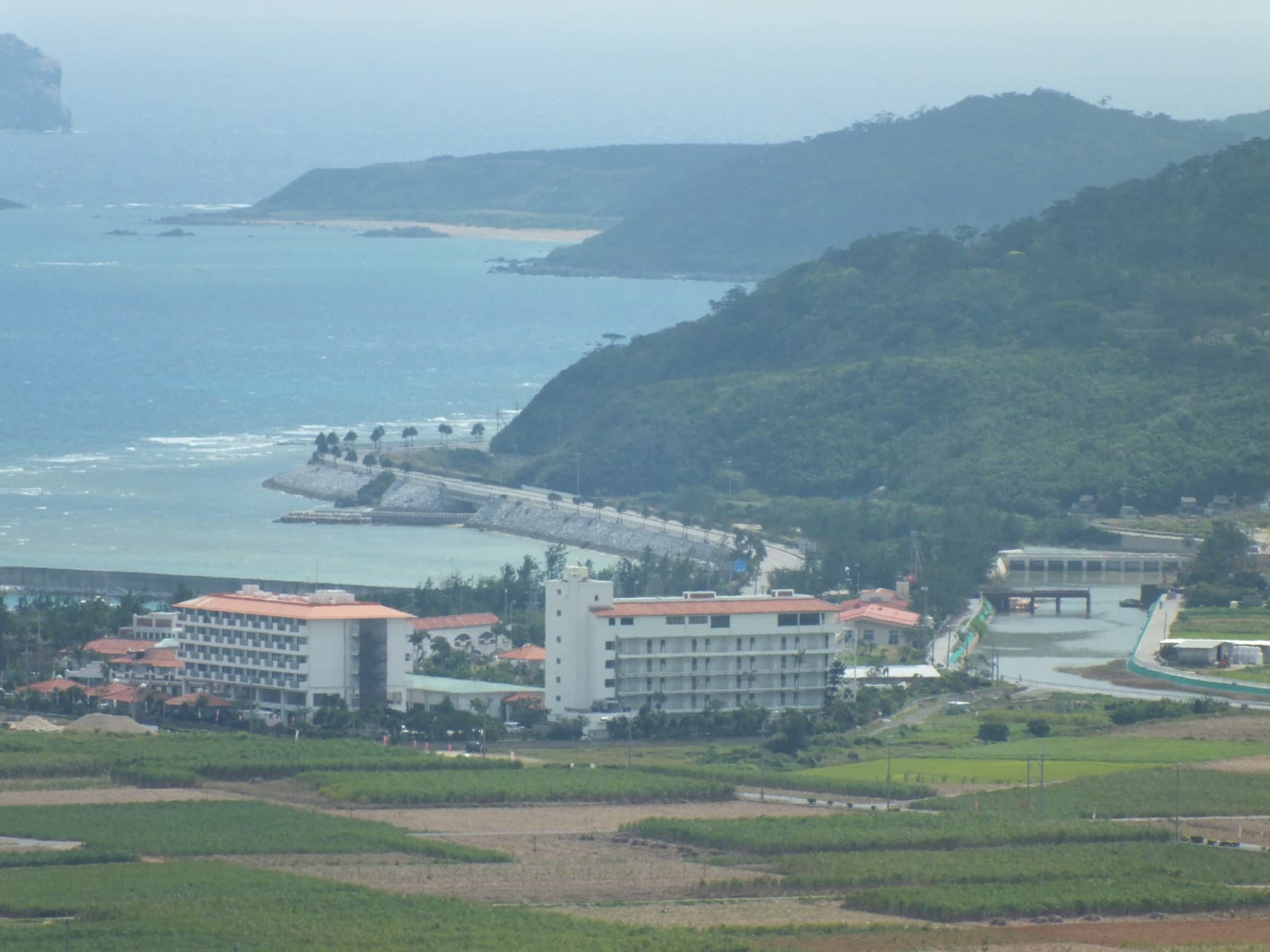
Most people fly, and the ferry suits anyone bringing their own bike. RAC and JTA fly Naha to Kume-jima six or seven times a day, in about 35 minutes on RAC and 40 on JTA by the airport's figures (Kumejima Airport; tourism association). The town bus meets the flights and reaches the Eef Beach hotels in 38 minutes for ¥500 (Kumejima Town).
Kume Shosen's ferry leaves Tomari Port at 9:00 and calls at Tonaki on the way, landing at 12:30, and the 14:00 runs direct in three hours. Mondays have the morning boat only. From 1 October 2026 an adult pays ¥3,970 one way and a bicycle travels for ¥1,400 (Kume Shosen fare table).
A high-speed boat called Tsumugi started from Naha Port in May 2026 and makes the run in about 1 hour 32 minutes, but its first season went badly. A collision on its second day and bolt failures kept it in port until 1 July (Ryukyu Shimpo), floating debris holed the hull on 12 August, and it went back into service on 19 September (Ryukyu Shimpo). No winter timetable had appeared by October 2026, so check before you book around it.
Bring cash from Naha. The tourism association says the airport and the ports have no ATMs (FAQ).

Is Hatenohama worth the boat in winter?
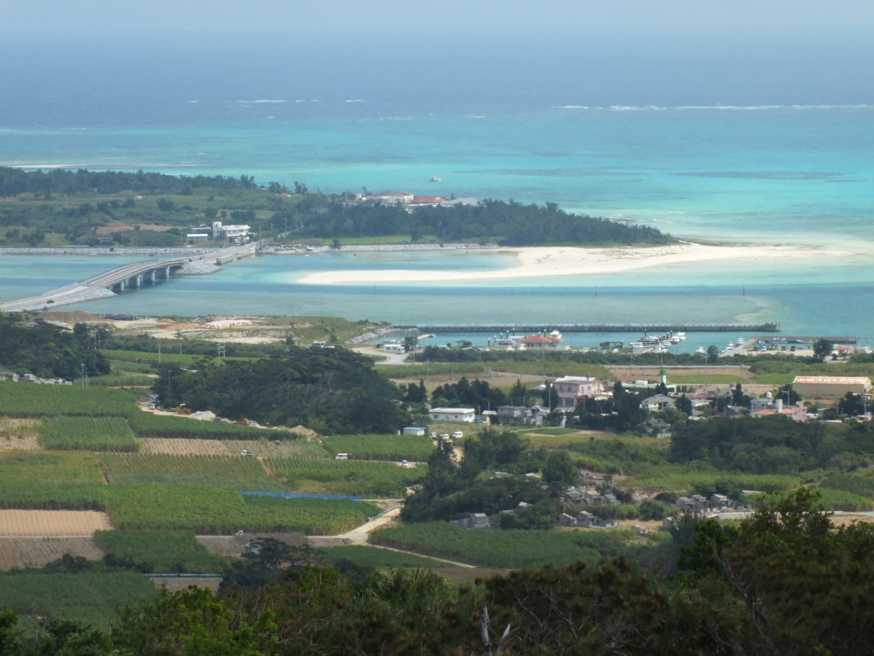
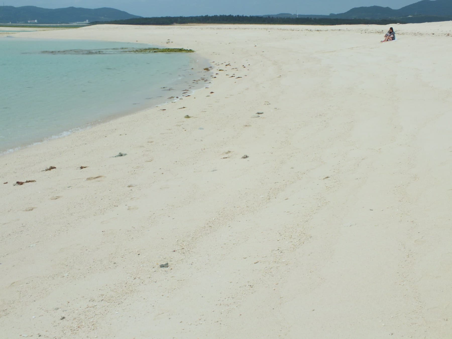
Yes, on a calm day, though winter trips run shorter and you may not swim. Hatenohama is a chain of three white sandbars about 7 km long that lies some 5 km off the east coast, and boats from Tomari Fisherina take 20 to 30 minutes to reach it (tourism association). The outer bars have no shade at all, so bring water and a long-sleeved top.
Kumejima Escort Tours charges ¥3,500 an adult for its half-day glass-bottom trip, which lasts about two and a half hours in summer and about two in the off-season, and its full day at ¥5,000 runs only from late May to 31 October (Kumejima Escort Tours). In the cool months the trips land on Naka-no-hama, which is the middle bar and has the only toilet, and some operators allow no swimming. Book by the day before, as the tourism association advises, and keep a spare day for the north wind, since Escort Tours cancels at 10 m/s.
What is Tatami-ishi?
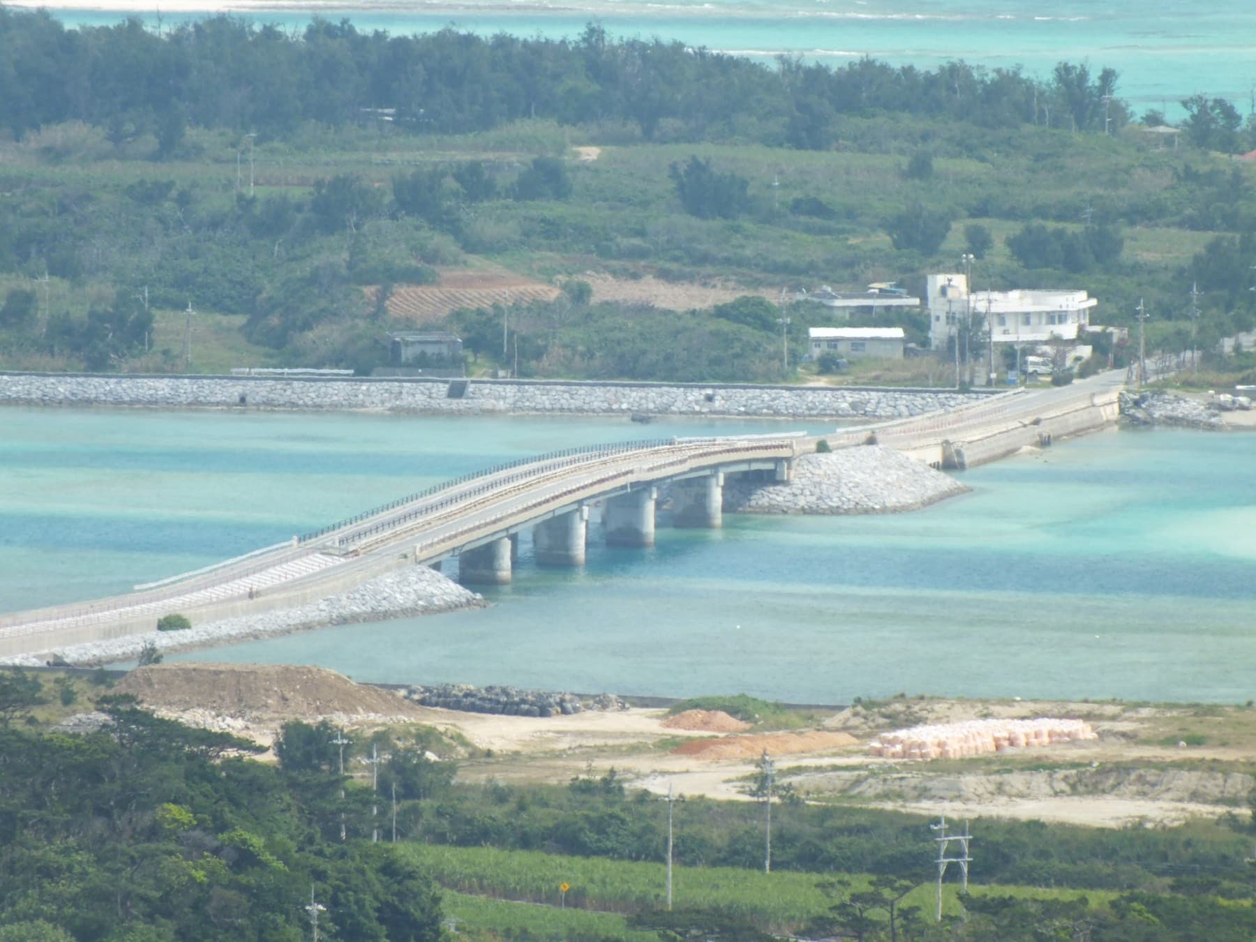
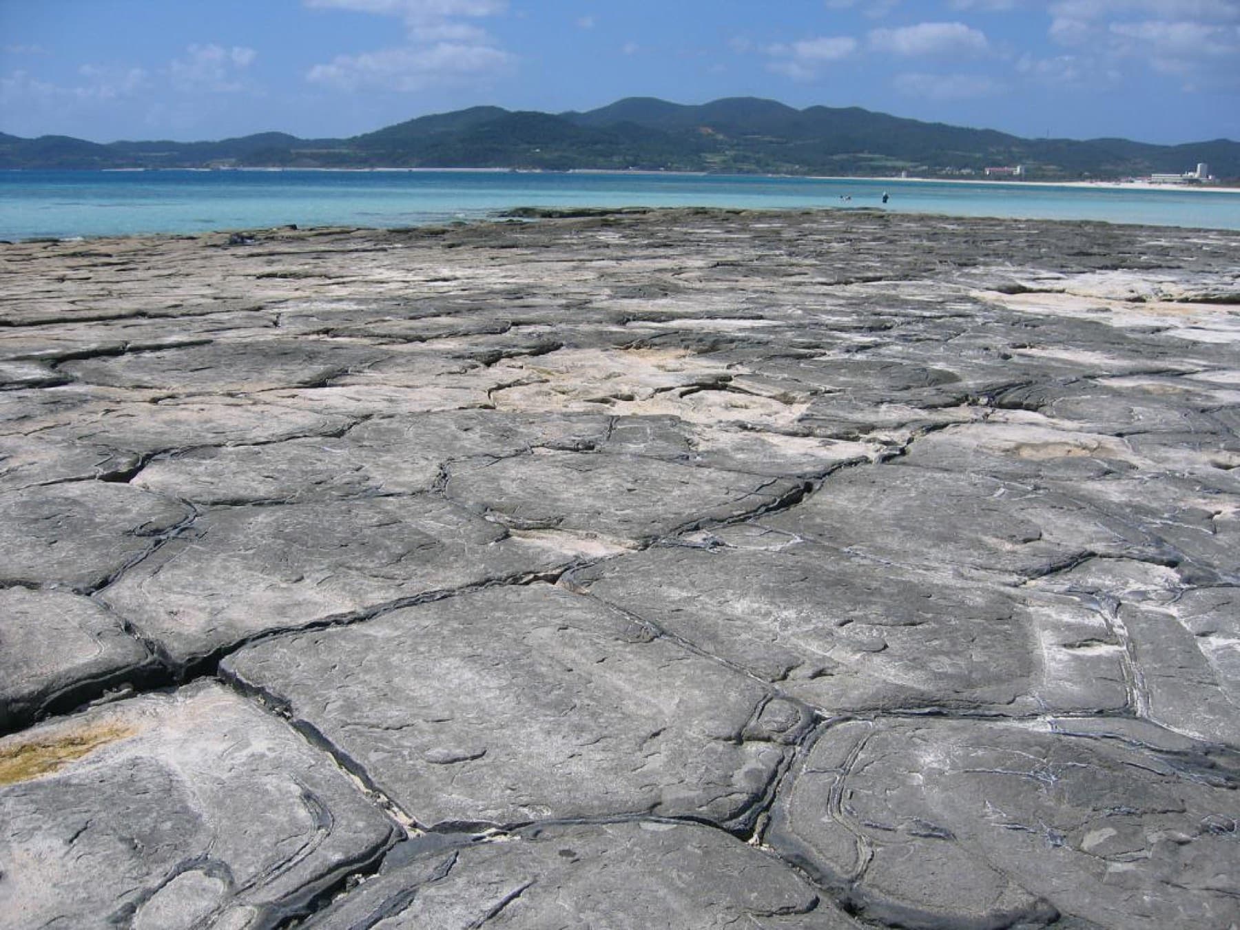
It's a floor of lava columns on Ou-jima, which a sea road and a 170 m bridge tie to Kume-jima's east coast. Waves have planed the tops of several thousand andesite columns flat into pentagons and hexagons about 1 to 1.5 m across, and Japan made the site a natural monument on 29 July 2014 (Agency for Cultural Affairs). Come near low tide, when the most columns sit above the water, and wear shoes that grip on wet rock. The Kumejima Sea Turtle Museum stands a short walk away, charges ¥500 and closes on Tuesdays.
How hard is the island loop on an e-bike?
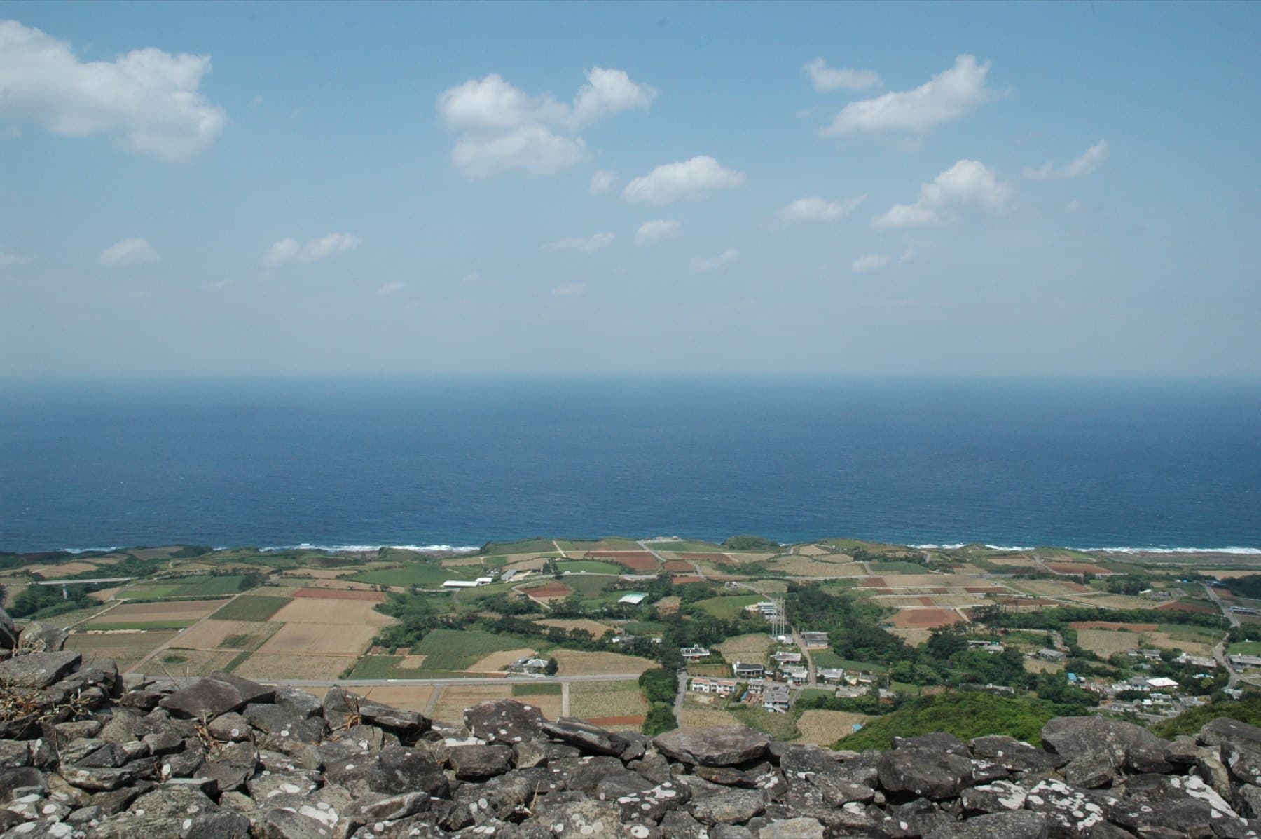
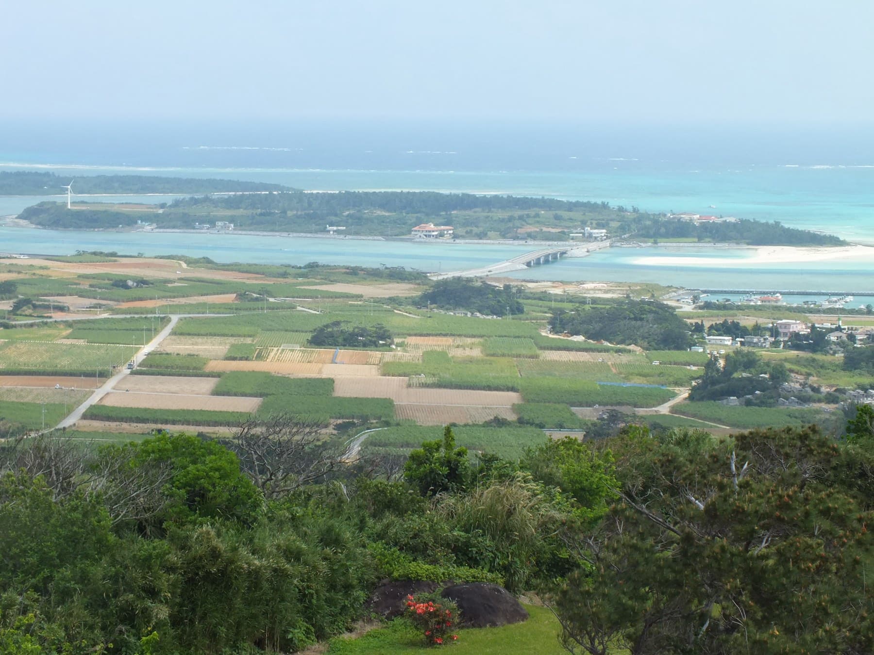
Easy enough on an e-bike, with one long climb and a shorter one. Prefectural Route 245 rings the island for 40.17 km (Japanese Wikipedia). Our version adds Ou-jima and cuts through Gima, and by our route data it covers 37.2 km with 519 m of climbing, all of it on sealed roads. The big effort comes north of Maja, where the road gains 182 m over 4.9 km to the lookout. From about 200 m up at Hiyajo Banta you look down over the reef to Hatenohama, which you can otherwise reach only by boat. A second rise past Kanegusuku takes you to about 190 m before you drop to Shimajiri, and short pitches on that south coast reach 12.3%.
| Km | Stop | Why stop |
|---|---|---|
| 0 | Eef Beach | Start among the hotels; Three Piece serves spicy miso soba |
| 2 | Tomari Fisherina | Where the Hatenohama boats leave |
| 4 | Tatami-ishi on Ou-jima | Lava columns at low tide and the Sea Turtle Museum |
| 8 | Maja | Yuimaru-kan for tsumugi and Kumejimarl Café before the climb |
| 12 | Hiyajo Banta | The lookout at about 200 m over Hatenohama |
| 14 | Uegusuku | Garden Kitchen Gusuku for lunch if you phoned ahead; the side road to the castle ruins |
| 16 | Nakandakari | Pineapple juice at Akamine Pine En; Gushikawa Castle Ruins toward the sea |
| 20 | Kumejima Airport | Parlor Kumi does soba from 8:00 to 15:00 every day |
| 26 | Kanegusuku Port | Seaside Shokudo MIRA in the ferry terminal |
| 35 | Shimajiri | Sea-view pizza at Backshore Ranch |
| 37.2 | Eef Beach | Finish |
The kilometre marks come from our route data and are rounded. Ride the loop counter-clockwise from Eef as our loop day does, and Tatami-ishi comes first, while the morning tide may still be low.
Book the e-bike ahead. The tourism association's May 2026 rental list puts e-bikes at Watermark Hotel Okinawa Kume Island at ¥3,500 for four hours or ¥4,000 a day for guests and non-guests alike, with booking required. Earth Life Marine Club near Tomari Fisherina charges ¥2,500 for six hours, and Yonna Cycle beside the FamilyMart at Eef rents e-assist city bikes at ¥1,600 for four hours (rental list). Cypress Resort Kumejima lends e-bikes to its own guests at ¥1,200 an hour. Carry water up the Hiyajo climb, because by our route data the longest gap between convenience stores runs 19.7 km.
The map
Every place in this piece, on its island.
Contours from AWS Terrain Tiles; reefs and coast from OpenStreetMap.
Where does Kumejima tsumugi come from, and can you weave some?
Kumejima tsumugi is a silk cloth that islanders have woven by hand for centuries, and at Yuimaru-kan in Maja you can sit at a loom for half an hour. The Agency for Cultural Affairs says silkworms were probably raised on Kume by about the fifteenth century, and in the seventeenth century the Ryukyu court named the cloth a tribute fabric. Every step stays manual, from raising the silkworms to hand-tied kasuri and hand weaving, and nearly all the materials come from the island. Japan named it an Important Intangible Cultural Property on 2 September 2004 (Agency for Cultural Affairs).
The colours come from island plants such as techachi and yamamomo, and from mud. Heibonsha's encyclopedia names those plant dyes and the mud dyeing, and adds that weavers finish the cloth by beating it (Kotobank). At Yuimaru-kan, which the weavers' co-op runs, you can watch the weaving floor and then make a coaster on a loom for ¥3,000 in about 30 minutes. Book by phone, and remember the centre closes on Wednesdays (co-op site).

Island
Kume-jima
Kume-jima is the fifth-largest island in Okinawa at 59.53 km², and from Naha it takes about 35 to 40 minutes by air or three hours by ferry; visitors come for the Hatenohama sandbars, which run about 7 km in all some 5 km off its east coast, and for the…
- Area
- 59.53 km²
- Ride round it
- 40.17 km
- Best for
- Hatenohama, island loop ride
Is Uegusuku Castle worth the extra climb?
Yes on a clear day, if your legs or your battery have some left after Hiyajo. The ruins crown Uegusuku-dake, which at about 310 m is the island's highest point, and the Agency for Cultural Affairs calls it the highest gusuku in Okinawa. It became a national historic site in 2009 (Agency for Cultural Affairs). The town road to the summit closed for works through September 2026 with a narrow detour (tourism association), so check the association's notices before you turn uphill.

What is Kume-jima like in February?
Cool and often windy. JMA's 1991–2020 normals for Kume-jima give February a mean of 17.3 °C, a mean high of 20.0 °C and a low of 14.8 °C, with the wind from due north at 4.2 m/s (JMA). Islanders call that winter wind miinishi, and the tourism association warns that it makes the air feel colder than it is. The climb to Hiyajo warms you up, and the lookout faces into the wind, so carry a layer. Okinawa Prefecture says Kume's kuruma-ebi prawns are harvested from about November to July (Okinawa Prefecture), and Umibozu and Kameyoshi in the Eef strip serve them. Our riding climate page compares Kume with the other islands.
Quick answers
How do you get to Kume Island from Naha?
Fly or take the ferry. RAC and JTA fly from Naha six or seven times a day in about 35 to 40 minutes. Kume Shosen's ferry from Tomari Port takes three hours direct or three and a half via Tonaki, for ¥3,970 one way from 1 October 2026.
Can you visit Hatenohama in winter?
Yes. Tour boats from Tomari Fisherina keep running in winter on shorter trips, most landing at Naka-no-hama, and some operators allow no swimming then. Kumejima Escort Tours charges ¥3,500 an adult for a half-day trip, and strong wind cancels sailings.
How long is the cycle around Kume Island?
Prefectural Route 245 rings Kume-jima for 40.17 km. Ride Okinawa's loop with Ou-jima measures 37.2 km with 519 m of climbing by our route data, and its longest climb gains 182 m on the way to Hiyajo Banta.
Where can you try Kumejima tsumugi weaving?
At Yuimaru-kan, which the Kumejima tsumugi co-op runs in Maja. You can weave a coaster in about 30 minutes for ¥3,000, booked by phone, and the centre closes on Wednesdays.
We write from operators’ and agencies’ own pages, open map data and published research, and we date every fact we check. How we research.
Sources (20)
- https://www.kanko-kumejima.com/guide/access/
- https://www.kanko-kumejima.com/guide/faq/
- https://www.kanko-kumejima.com/spot/see/199/
- https://www.kanko-kumejima.com/news/15885/
- https://www.kanko-kumejima.com/cms/wp-content/uploads/2026/05/2026%E5%B9%B45%E6%9C%88%E3%83%AC%E3%83%B3%E3%82%BF%E3%82%B5%E3%82%A4%E3%82%AF%E3%83%AB-%E3%83%90%E3%82%A4%E3%82%AF-EV%E3%82%AB%E3%83%BC%E6%83%85%E5%A0%B1.xlsx.pdf
- https://kumejima-airport.co.jp/flight-info/
- https://www.town.kumejima.okinawa.jp/docs/bus/timeline.html
- http://www.kumeline.com/route/
- http://www.kumeline.com/userfiles/files/new_fare_table%281%29.pdf
- https://ryukyushimpo.jp/economics/entry-5329102.html
- https://ryukyushimpo.jp/economics/entry-5507283.html
- https://k-escort-tours.com/price-all/
- https://online.bunka.go.jp/heritages/detail/275283
- https://online.bunka.go.jp/heritages/detail/140627
- https://online.bunka.go.jp/db/heritages/detail/189832
- https://kotobank.jp/word/%E4%B9%85%E7%B1%B3%E5%B3%B6%E7%B4%AC-485142
- https://www.kume-tumugi.com/
- https://ja.wikipedia.org/wiki/%E6%B2%96%E7%B8%84%E7%9C%8C%E9%81%93245%E5%8F%B7%E4%B9%85%E7%B1%B3%E5%B3%B6%E4%B8%80%E5%91%A8%E7%B7%9A
- https://www.data.jma.go.jp/stats/etrn/view/nml_sfc_ym.php?prec_no=91&block_no=47929&year=&month=&day=&view=
- https://www.pref.okinawa.lg.jp/_res/projects/default_project/_page_/001/018/864/churashima472_09.pdf
Related