guide · 8 min read
How do you ride the Kaichu Doro and its four islands on an e-bike?
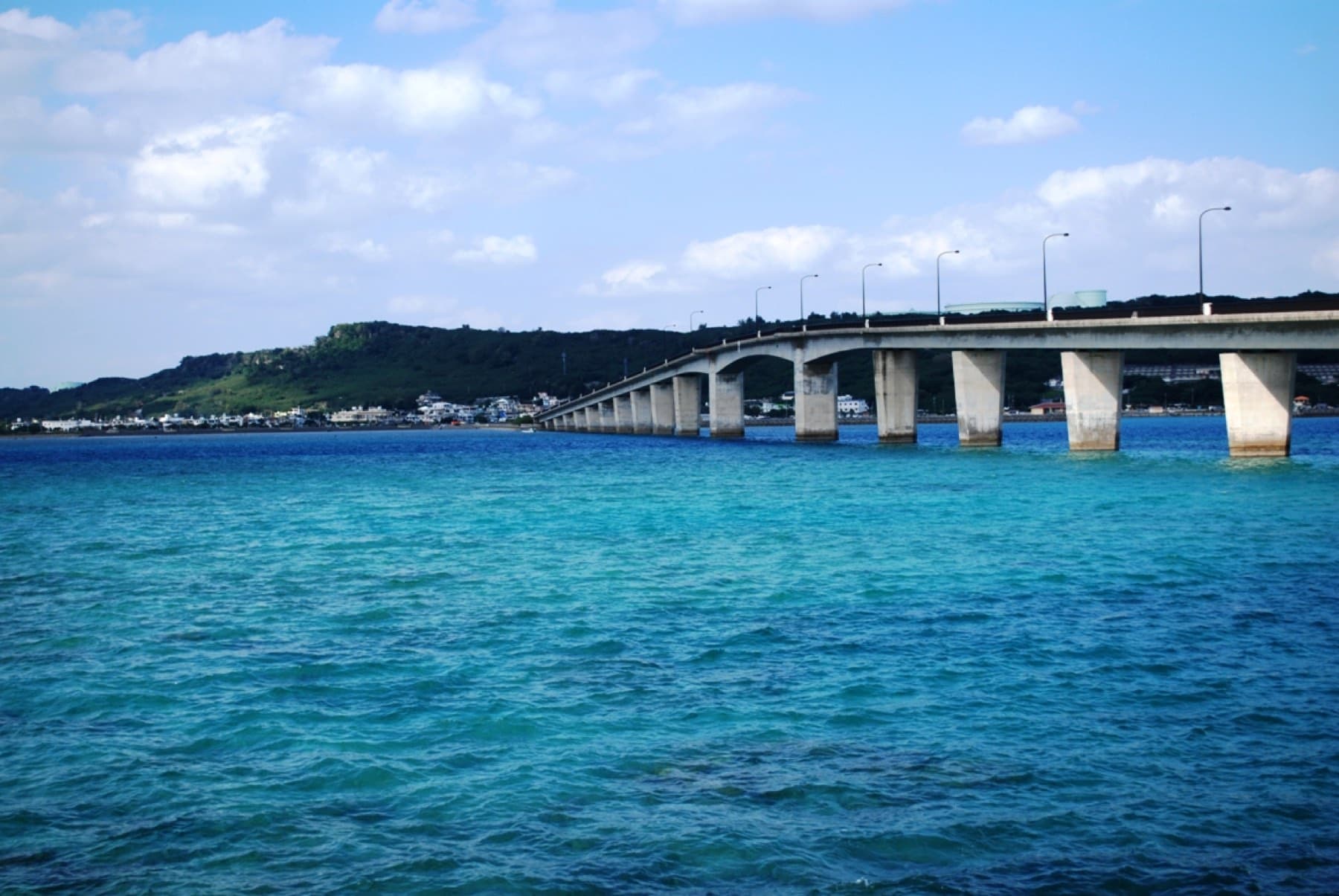
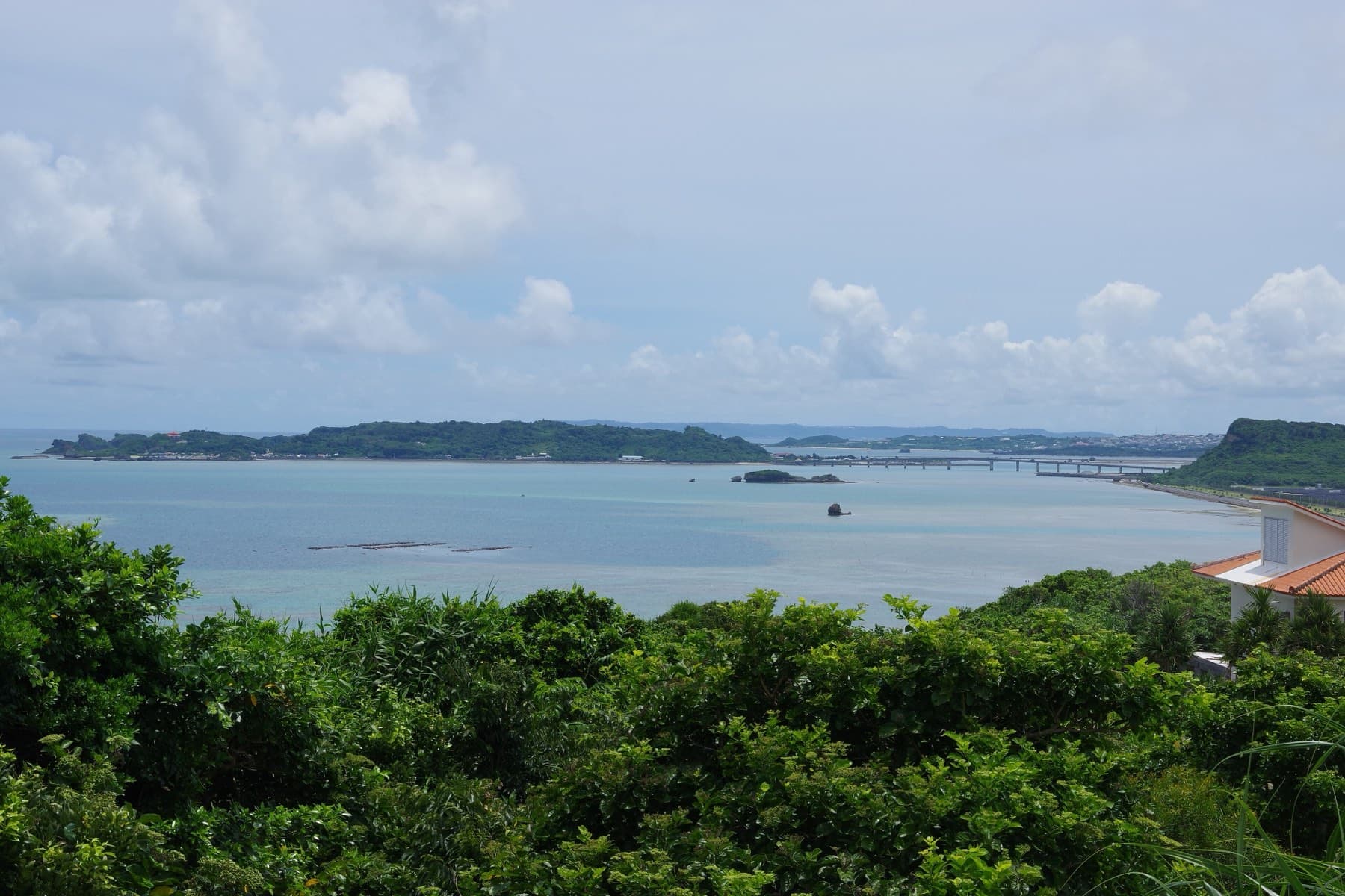
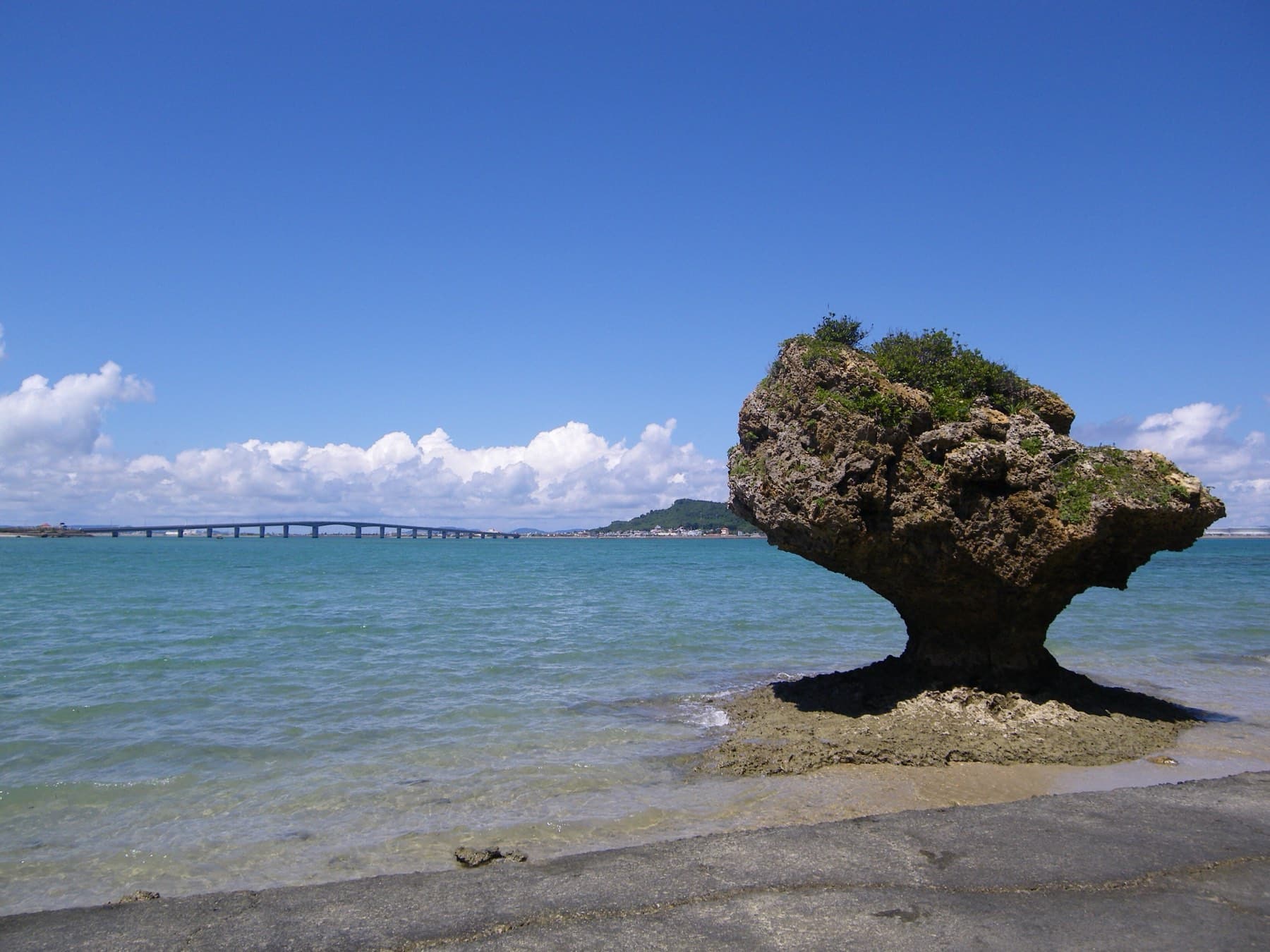
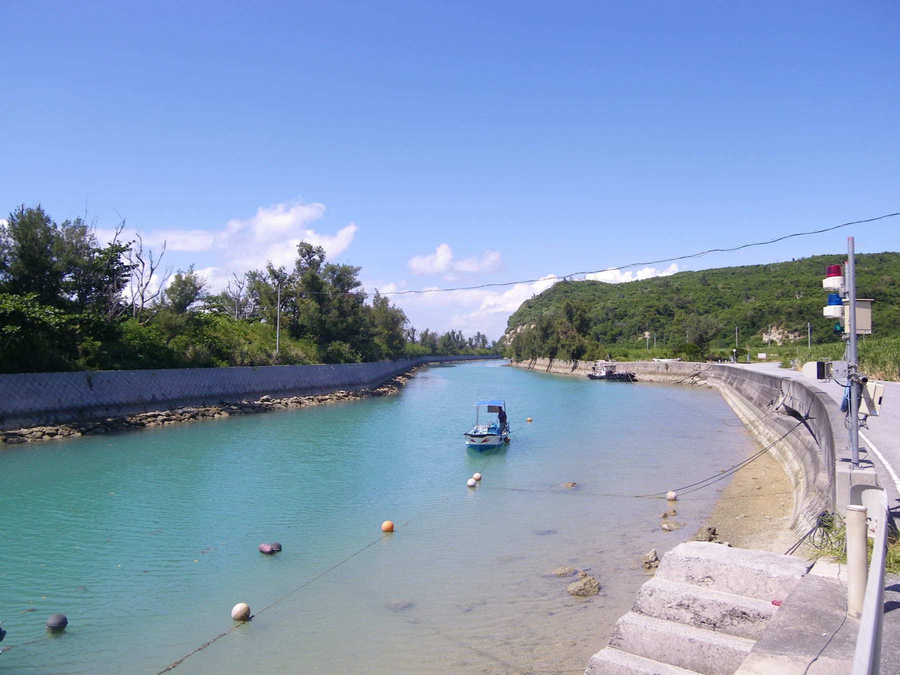
Uruma's 4.75 km sea road leads to Henza, Hamahiga, Miyagi and Ikei, and by our route data the out-and-back from Umino Eki Ayahashi-kan covers 34.5 km with 272 m of climbing, so an e-bike makes an easy day of it even into a February north wind.
By Ride Okinawa · Updated 2026-10

Umino Eki Ayahashi-kan sits halfway along the Kaichu Doro in Uruma, and from there you ride east over the sea to Henza, then on to Miyagi and Ikei with a detour south to Hamahiga. By our route data that out-and-back covers 34.5 km with 272 m of climbing, and most of the climbing sits on Miyagi's plateau and the hump of the Hamahiga bridge (route). Sea Kayak Okinawa Kamome no Jonathan rents e-bikes from its boathouse opposite the roadside station for ¥3,000 plus tax, back by 17:00 (rental page). From December to March the north-east monsoon blows across Kin Bay onto the causeway, so the run back toward the roadside station can be a push.
We read Uruma's tourism association, the prefecture's bridge records, the rental shop's page and the Nuchima-su salt company's site in October 2026, and we modelled the route ourselves from OpenStreetMap and an elevation model. Nobody from Ride Okinawa has ridden it for this piece.
What does each island add to the ride?
| Island | How you get on | What to stop for | Food on the island | In a winter north wind |
|---|---|---|---|---|
| Henza-jima | The 4.75 km Kaichu Doro from Yakena | The fishing village on the south shore | Boulangerie Café Yamashita, Nikuya Shokudo | The road past the oil terminal fence has no shelter |
| Hamahiga-jima | The 900 m Hamahiga Ohashi from Henza | Shirumichu and Amamichu; the red-tile lanes of Hama and Higa | Shima Parlor, Moana Beach House | The bridge takes the wind side-on |
| Miyagi-jima | The 17 m Tobaru Bridge from Henza | The Nuchima-su salt factory and Kafu Banta | Restaurant Takahanari | The plateau and the cliff lookout catch it hard |
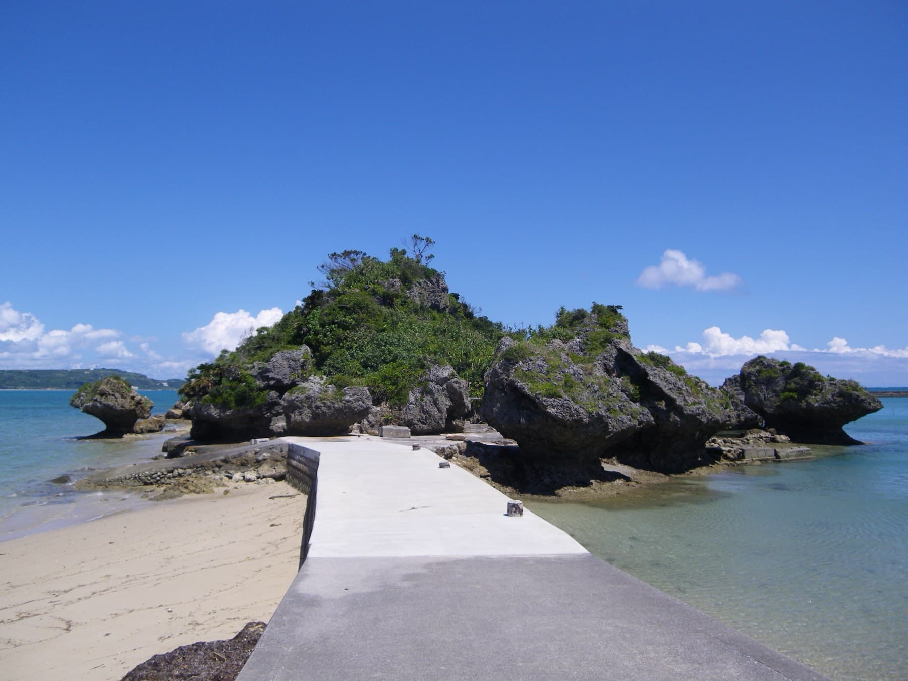
| Ikei-jima | The 198 m Ikei Ohashi from Miyagi | The Nakabaru village site and Ikei Beach | Carry food from Miyagi | Flat and exposed across the cane fields |
Where do you start, and where do you rent the e-bike?
Umino Eki Ayahashi-kan opened in 2003 in a building shaped like a maaran trading ship, and its road park holds 300 cars. The ground floor sells Uruma produce, and the Sea Culture Museum upstairs keeps models of the wooden boats that once carried goods around Okinawa. The roadside station opens every day of the year, and Kaichu Chaya inside it serves soba from ¥900 on noodles kneaded with Katsuren mozuku.
Kamome no Jonathan's boathouse is the round beige building across the road. The shop keeps 20 cross bikes at ¥2,000 plus tax and only four e-bikes at ¥3,000 plus tax, so fill in its online form well ahead. It hands bikes out from 9:30 and wants them back by 17:00, and the counter pauses between 12:00 and 13:00. Uruma's tourism association puts the Katsuren peninsula about 20 minutes by car from the Okinawa-kita interchange, and the city runs a paid local bus from Yakena out to the islands (Uruma guide).
How hard is the ride on an e-bike?
The causeway is flat. The prefecture rebuilt it in 1999 with two lanes each way and a 280 m bridge near the Henza end, and that bridge carries a 3.5 m footway beside the traffic (Okinawa Prefecture). The Hamahiga Ohashi arches over a channel with 13.7 m of clearance for boats, so you get a short climb and a quick roll down. Miyagi carries the real climbing, because most of the island is a farm plateau about 100 m up that peaks at 121.4 m. Ikei sits mostly at about 25 m on a limestone shelf.
By our route data the steepest pitch reaches 14.7%, and the longest climb gains 52 m over 1.5 km. About 44% of the distance runs on busy roads and 43% on quiet ones, and 42% runs within 400 m of the sea. An e-bike flattens most of it, and Miyagi is where you'll draw hardest on the battery. The main-island rules apply here as on any Japanese road, so keep left and ride single file on the causeway.
How does the north wind play on the sea road?
From December to March the north-east monsoon comes across Kin Bay, so the ride out to Henza is a crosswind and the run back along the causeway can turn into a push (Uruma tourism association). Our route model reads the wind from JMA's Nago station, because it is the nearest full station to the route. Its February normal is a north-north-easterly averaging 3.8 m/s, and by our calculation about 34% of the distance points into it. Neither direction round the route comes out easier on paper. JMA publishes no wind figures for the causeway itself, and its station sits in town, so expect the open sea road and the run past the oil tanks on Henza to feel the wind more than the table suggests.
Uruma's tourism association suggests checking the tide before you go, and it publishes a tide table for Heshikiya on its website (tide table). A calm morning near low tide shows the pale shallows on both sides of the road. The same table decides your walk out to Amamichu on Hamahiga.
How do you visit Hamahiga's sacred sites with respect?
Ryukyuan tradition holds that the goddess Amamikyu crossed the sea to Hamahiga and lived with Shinerikyu in a cave in the woods south of Higa. That cave is Shirumichu, and Uruma lists it as a city cultural property (Uruma tourism association). A torii marks the foot of 108 steps up through the trees, and inside the cave a small tile-roofed shrine from the Taisho era holds two mirrors. People climb here to pray for children. Leave the bike below the torii and stay outside the shrine. If someone is praying, wait at a distance until they finish, and keep them out of any photograph.
The tomb of the two deities stands at Amamichu, on a rock islet east of Higa village that the kingdom's records call Amamizo-utaki. Uruma describes a small crossing that appears only at low tide, so you get a short window each day. The rock is wet and sharp once the water drops, so walk out in shoes and head back before the tide turns. Leave any offerings where they lie. Higa still keeps the island's rites: on the third day of the third lunar month the village's women purify themselves in the sea and its kaminchu pray for the harvest. Prayer days follow the lunar calendar, and when a rite is under way at either site, keep your distance and come back later.
Two smaller places on the route ask the same care. Henza Nishi-gusuku on Henza's high point is a village prayer site with a shrine inside its stone walls. At Kafu Banta on Miyagi, a path through the salt factory grounds passes a small cave under a banyan called Mitin-uza and a gap in the trees through which you can line up Hamahiga and Kudaka (Nuchima-su). Both islands belong to Okinawa's creation story.
Where do you stop for lunch?
Plan lunch for Miyagi. Restaurant Takahanari sits upstairs at the Nuchima-su salt factory and serves lunch from 11:00 to 15:30 and café food from 9:00 to 17:30 every day, and the salt soft-serve is its popular order. The factory makes salt by spraying seawater as a fine mist and letting it crystallize in the air, and its free tour leaves every half hour from 9:00 to 16:30 (Nuchima-su tour). Kafu Banta lookout in the same grounds opens from 9:00 to 17:30, and from mid-November to early March the factory's red kalanchoe flowers bloom around the path. Leave the bike in the factory car park and allow about 15 minutes for the walk out to the cliff.
On Hamahiga, Shima Parlor in Higa opens 11:00 to 17:00 and adds a mozuku clam chowder to the menu in winter only. It closes on Wednesdays and on the second and fourth Thursdays. Moana Beach House in Hama has no car park of its own, so it suits people already on bikes. It pours Orion on draught at ¥500. On Henza, Boulangerie Café Yamashita bakes a nuchi anpan with bean paste cooked in Nuchima-su salt and Tarama black sugar, and it opens only from Saturday to Tuesday. Nikuya Shokudo serves A5 beef cutlet sets at ¥3,500 for lunch on every day but Thursday.
Back on the main island, Fukaki Soba in Uken cooks its broth from Okinawan fish. It takes cash only and closes on Wednesdays.
Can you swim, soak or stay at the far end?
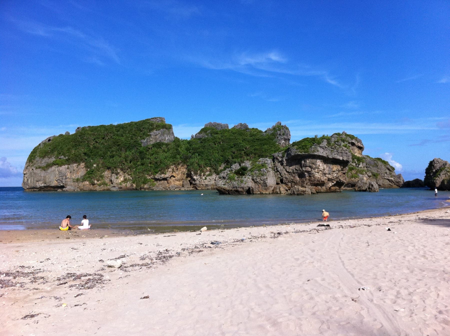
Ikei is the end of the road. Ikei Beach charges adults ¥400 for a day visit, lists no fixed closing days and posts each day's opening on its website, because storms and debris can close it (Ikei Beach). Uruma's tourism association warns that the currents around Ikei run fast, and the Fuukijiru channel between Miyagi and Ikei is known for its tidal flow. The sea around the islands sits at about 21–23 °C in winter, so bring a wetsuit if you plan to get in. AJ Resort Island Ikeijima has the Kuroshio no Yu hot spring and rental bicycles, and its February 2027 nights start at ¥12,000 for two. On Hamahiga, Hotel Hamahigashima Resort has 26 rooms and its own stairs down to Muruku beach.
On the way in or out, Katsuren Castle stands on its hill above the Katsuren peninsula. Bicycles stay in its car park, and adult entry costs ¥850 with the museum below.
Quick answers
How long is the Kaichu Doro?
The Kaichu Doro is 4.75 km long. It crosses the shallows from the Katsuren peninsula in Uruma to Henza-jima, and Umino Eki Ayahashi-kan sits at its midpoint. By our route data an out-and-back from Ayahashi-kan to Ikei with a detour to Hamahiga runs 34.5 km with 272 m of climbing.
Can you rent an e-bike at the Kaichu Doro?
Yes. Sea Kayak Okinawa Kamome no Jonathan rents four e-bikes from its boathouse opposite Umino Eki Ayahashi-kan for ¥3,000 plus tax, from 9:30 and back by 17:00. It also has 20 cross bikes at ¥2,000 plus tax, and it takes bookings through an online form.
Can you visit Shirumichu and Amamichu on Hamahiga?
Yes. Shirumichu and Amamichu on Hamahiga-jima are open to visitors, and both are active prayer sites. Shirumichu is the cave at the top of 108 steps south of Higa village, and Amamichu is the tomb on a rock islet that you reach on foot at low tide only.
Is the Kaichu Doro windy in winter?
Yes. From December to March the north-east monsoon blows across Kin Bay onto the open causeway, so riders get a crosswind on the way out to Henza and often a push on the way back. The nearest full JMA station, at Nago, averages a north-north-easterly of 3.8 m/s in February.
We write from operators’ and agencies’ own pages, open map data and published research, and we date every fact we check. How we research.
Sources (19)
- https://uruma-ru.jp/see/sea-road/
- https://uruma-ru.jp/see/first-ryukyu-gods/
- https://uruma-ru.jp/guide/
- https://uruma-ru.jp/information/tide-table/
- https://uruma-ru.jp/member/member017/
- https://uruma-ru.jp/member/shimaparahamahigashop/
- https://uruma-ru.jp/member/moanabeachhouse/
- https://uruma-ru.jp/member/boulangeriecafeyamashita/
- https://uruma-ru.jp/member/nikuyashokudoinhenza/
- https://uruma-ru.jp/member/ikeibeach/
- https://www.seakayakokinawa.jp/rentalcycle/
- https://nuchima-su.co.jp/tour/
- https://nuchima-su.co.jp/walking/
- https://nuchima-su.co.jp/cafe/
- https://www.pref.okinawa.lg.jp/_res/projects/default_project/_page_/001/014/700/03_4timetravel.pdf
- https://www.pref.okinawa.jp/_res/projects/default_project/_page_/001/020/538/bridge_2016-10.pdf
- https://www.pref.okinawa.lg.jp/_res/projects/default_project/_page_/001/028/067/01_chapter1_r6.pdf
- http://www.ikei-beach.com/
- https://www.data.jma.go.jp/stats/etrn/view/nml_sfc_ym.php?prec_no=91&block_no=47940&year=&month=&day=&view=
Related