Okinawa Island (Okinawa Honto)
沖縄本島(沖縄島)Uchinaa26°13′ N 127°41′ ENaha & Shurisubtropicalurban southforested north
Okinawa Island is the largest island of the Ryukyus, about 107 km long with an area of 1,207 km², and roughly nine in ten of Okinawa Prefecture's people live on it, along with the capital, Naha, and the main airport.
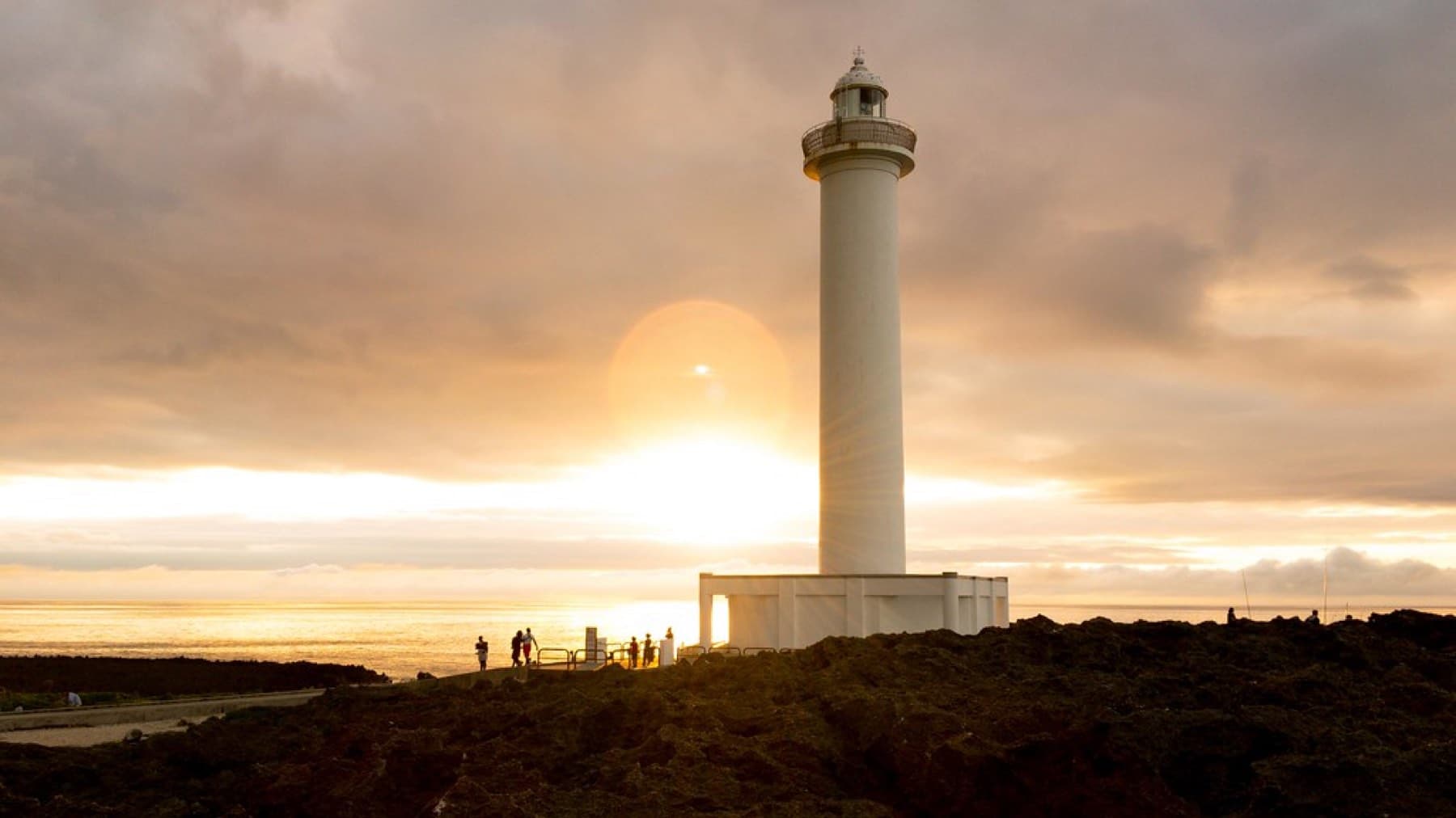
Photo Enoch Leung from Canada · Wikimedia Commons · CC BY-SA 4.0 and others, credited in the gallery
Okinawa Island, Okinawa Honto in Japanese, holds 26 of the prefecture's 41 municipalities and about 1.29 million of its roughly 1.45 million people. The 2005 census, the latest island-level count we found, put 1,224,726 people on the main island itself. It is the political and economic centre of the prefecture, and most trips to the Ryukyus pass through it.
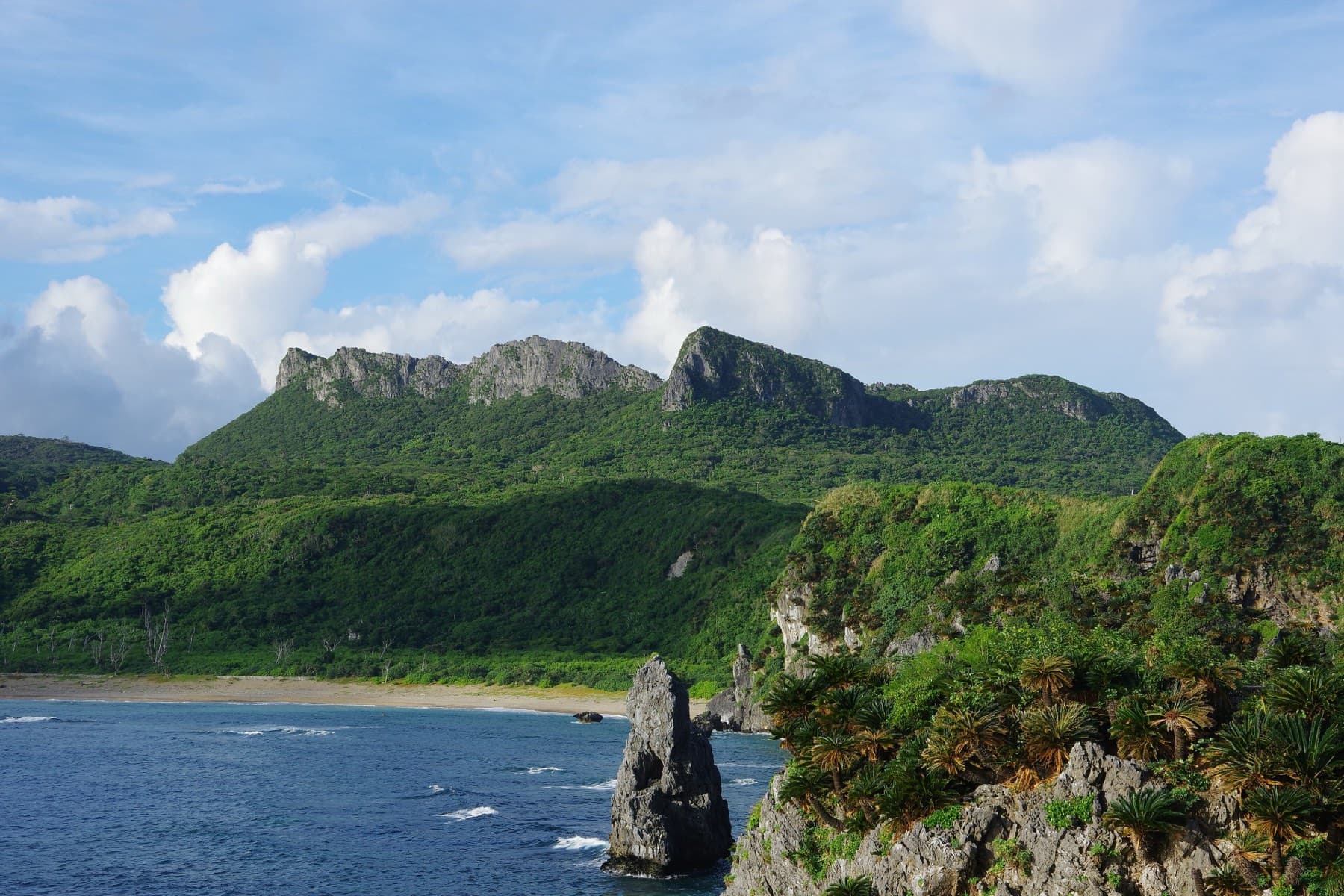
The island changes as you go north. The south and centre are Ryukyu limestone over mudstone, low and nearly riverless, with hardly a hill over 100 m and caves such as Gyokusendo underfoot. The Motobu peninsula is limestone karst with cone-shaped hills. Yanbaru in the north is volcanic rock under subtropical forest, rising to Yonaha-dake at 503 m, with the island's few sizeable rivers.
The Battle of Okinawa ended in the south, where Itoman's memorials stand, and US military bases have been part of the island since American rule began in 1945. Riders based in Naha should keep off the city's main roads in the weekday rush, when bus lanes run on Kokusai-dori from 7:30 to 9:00 and from 17:30 to 19:00.
Getting there
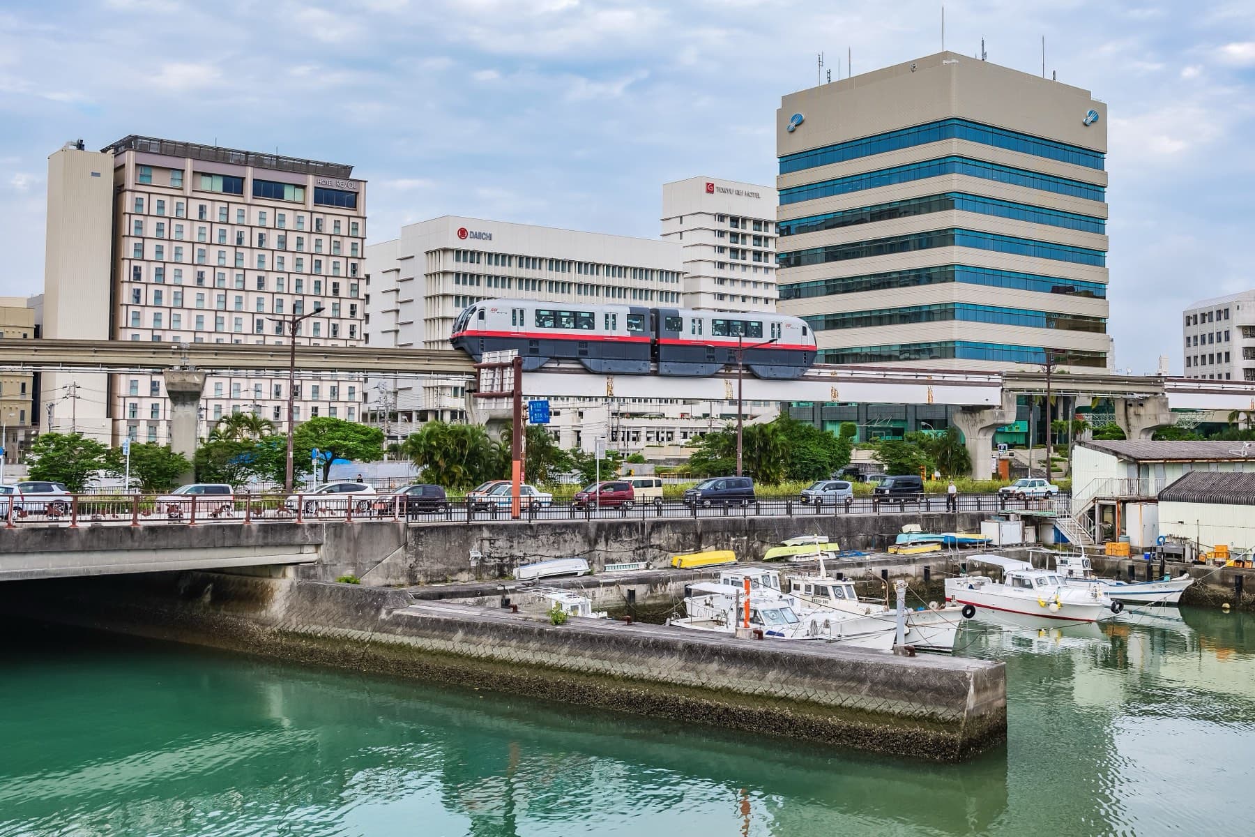
Most visitors fly into Naha Airport (OKA) on the southwest coast, about 15 minutes by car from the centre of Naha. The Yui Rail monorail starts at the airport and runs 19 stations through Naha and Shuri to Tedako-Uranishi in Urasoe. Ferries to the Kerama islands and Kume leave from Tomari port in Naha.
Getting around
In Naha the Yui Rail monorail runs from the airport through the city centre to Shuri and on into Urasoe. Beyond it you rely on route buses from the Naha Bus Terminal next to Asahibashi Station, a rental car, or a bike. Nanjo runs its own N-bus routes and an on-demand shared taxi, Odekake Nanjii, at ¥300 a ride within the city, and Itoman has the Itochan mini on-demand bus.
Riding on Okinawa Island (Okinawa Honto)
The island is about 106.6 km long and 31.2 km at its widest, and the riding gets hillier and more forested the further north you go, up to Yonaha-dake at 503 m. In the south the Route 331 coast through Chinen and Tamagusuku to Ojima links up with the Niraikanai Bridge descent for a short ride with big views. Naha itself is busy, and Kokusai-dori closes to all vehicles, bikes included, on Sunday afternoons.
Nanjo City has HELLO CYCLING share bikes and publishes pottering routes from the city office (4.2–6.5 km). See operators/ for road and e-bike rental in Naha.
December to March
Naha averages 17.3 °C in January and 17.5 °C in February (JMA normals 1991–2020), with daytime highs of about 20 °C and lows around 15 °C. The prevailing wind turns north-northeast to north at an average of about 5 m/s, and January and February each get about 93 hours of sunshine and 100–115 mm of rain. Beach swimming seasons close in October and reopen in spring, habu-kurage box jellyfish are out of season, and the hikanzakura cherries come out, with the weather observatory's sample tree in Sueyoshi Park in Naha.
Worth knowing
- Cape Kyan is often called the southern tip, but Arasaki, just east of it, is the island's southernmost point; Cape Hedo is the northern end.
- Weekday bus lanes on Kokusai-dori and other Naha roads run in the morning and evening peaks; bicycles are exempt on Kokusai-dori.
- Pack a windproof layer for winter evenings, when lows sit around 15 °C and the north wind blows at about 5 m/s.
11 routes
Ride Okinawa Island (Okinawa Honto)走る
Chatan seawall to Cape Zanpa
West coast
50 km · +238 m · 100% quiet roads
Kaichu Doro and the four islands
Central
34.5 km · +272 m · 43% quiet roads
Motobu Peninsula loop from Nago
Motobu
63.3 km · +620 m · 77% quiet roads
Naha to Cape Kyan and the Peace Memorial Park
South
59.1 km · +379 m · 78% quiet roads
Naha waterfront loop to Naminoue
Naha
8.6 km · +23 m · 97% quiet roads
Nanjo coast and the Niraikanai Bridge
South
23.4 km · +323 m · 86% quiet roads
Warumi and Kouri bridges from Nago
Motobu
42.5 km · +383 m · 63% quiet roads
Yaedake climb through the cherry trees
Motobu
12 km · +500 m · 100% quiet roads
Yanbaru Century Ride from Nago
Yanbaru
Route data building
Yanbaru Gourmet Ride through Onna, Kin and Ginoza
West coast
Route data building
Yanbaru hills loop over the Fungawa dam road
Yanbaru
73.6 km · +1562 m · 0% quiet roads
Where to base
Towns and villages on Okinawa Island (Okinawa Honto)町


American Village, Mihama and Sunabe
Central
Good base


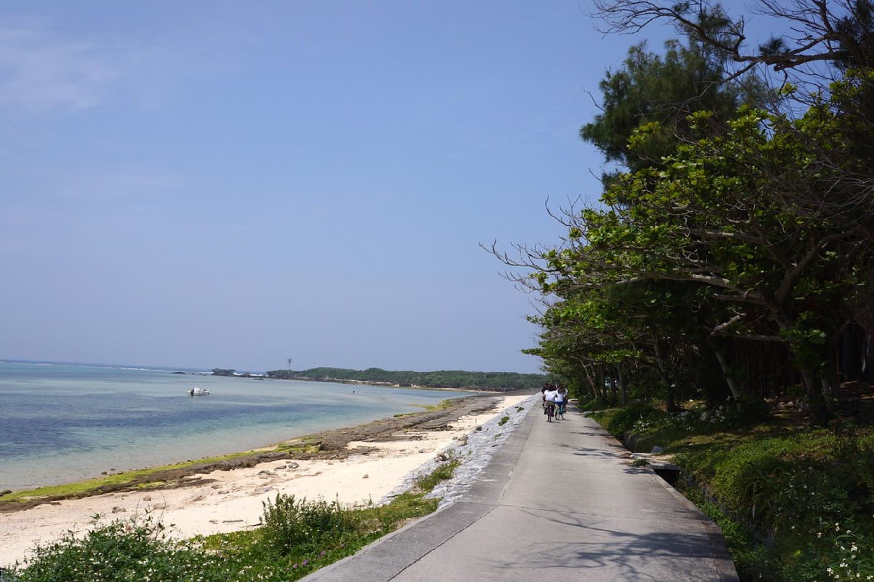

Bise
Motobu
Good base


Chatan
Central
Good base


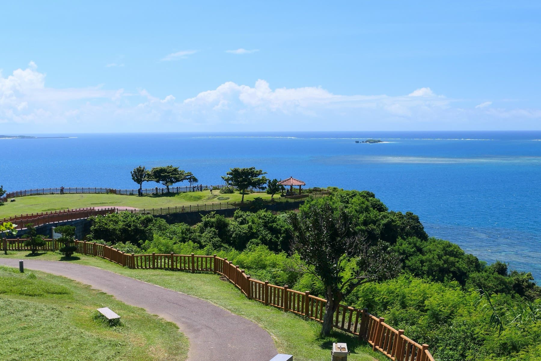

Chinen
South
Good base
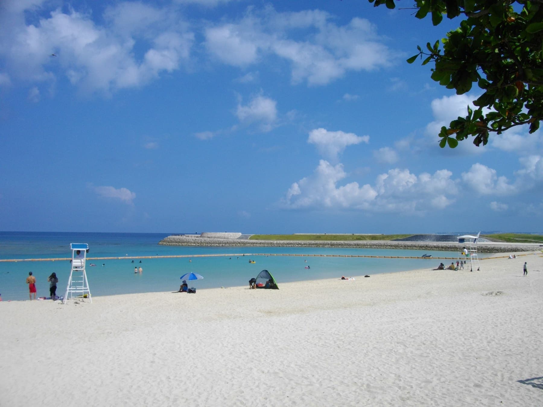
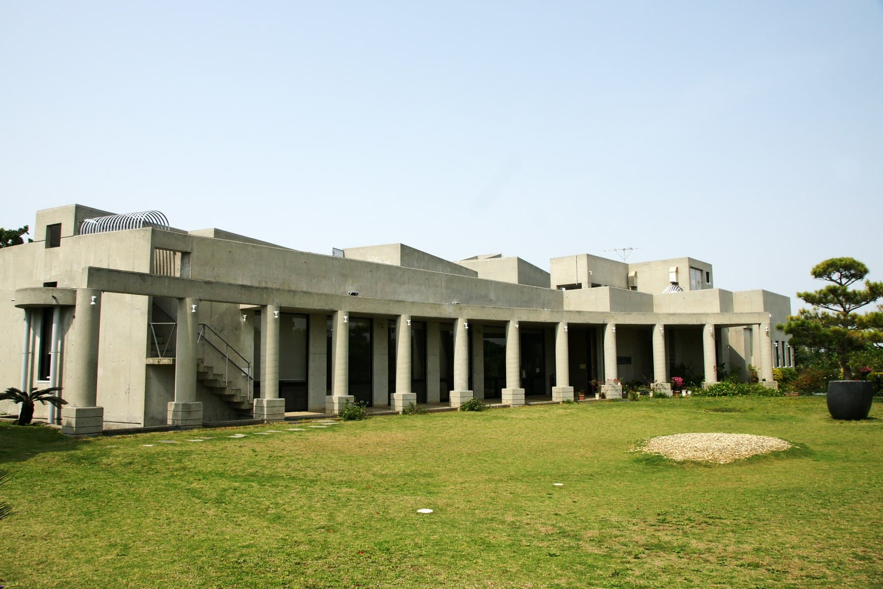


Ginowan
Central
city

Ginoza
Central
village
Haebaru
South
town
Hentona
Yanbaru
neighbourhood
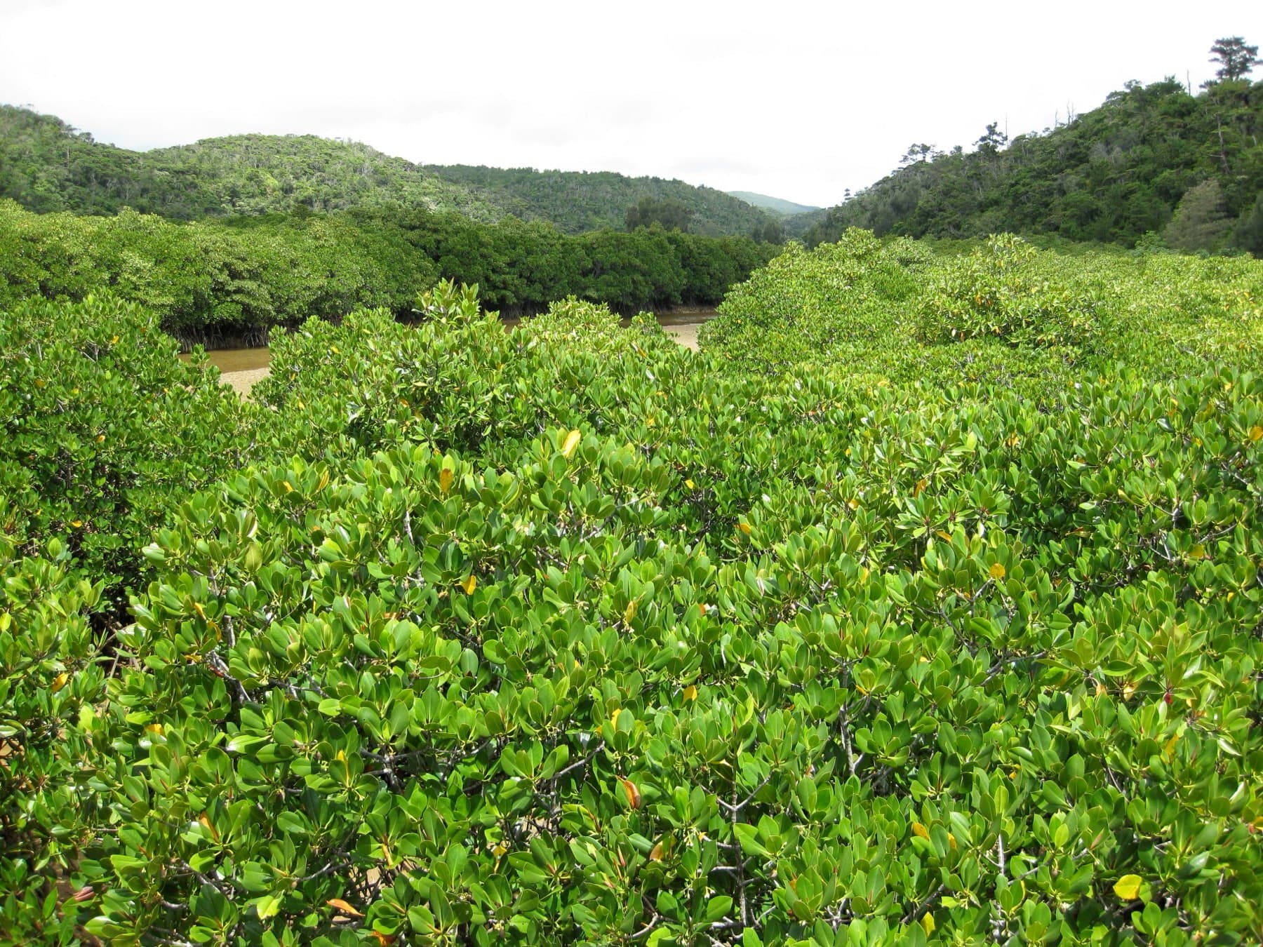


Higashi
Yanbaru
village

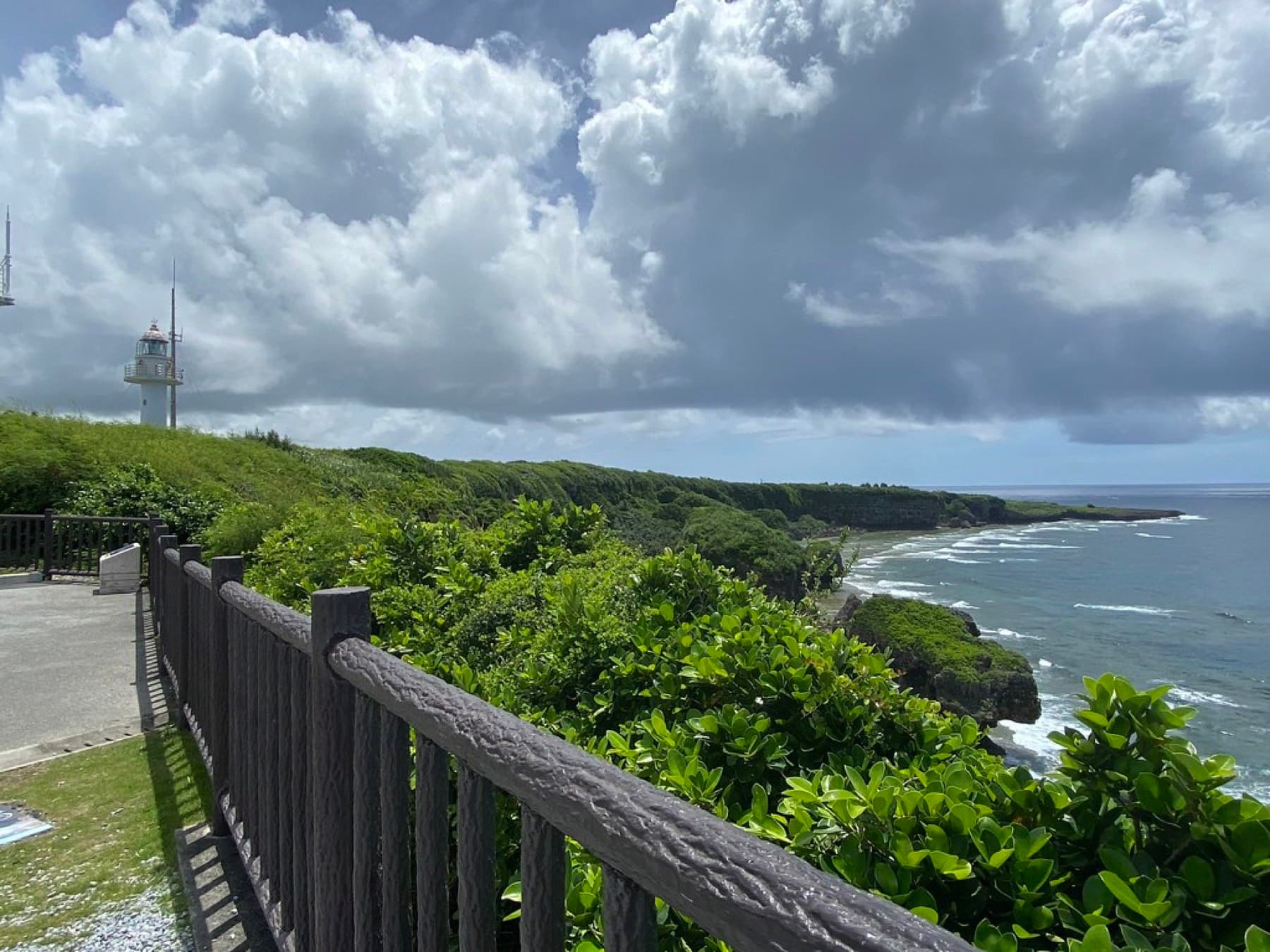


Itoman
South
Good base


Kadena
West coast
town


Katsuren
Central
neighbourhood
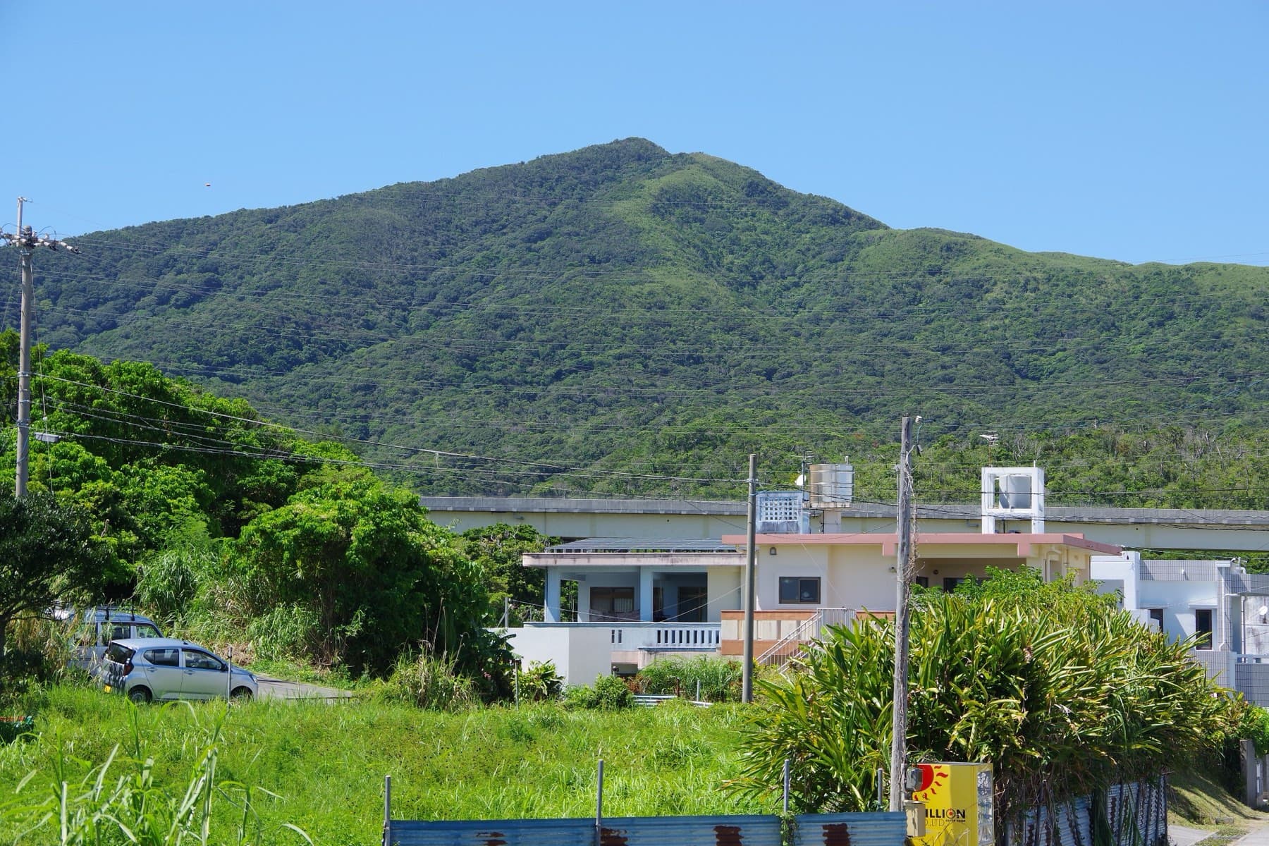
Kin
Central
town

Kitanakagusuku
Central
village


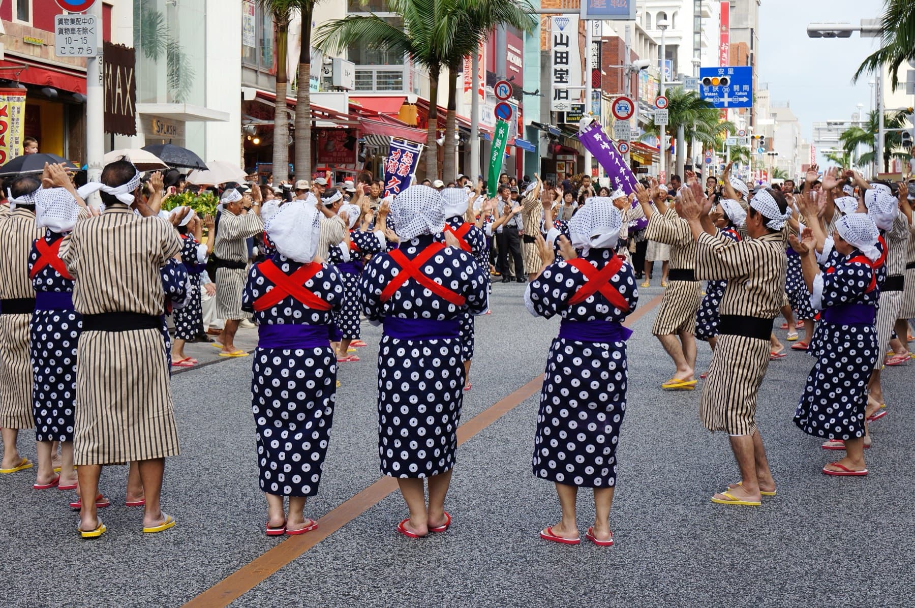
Kokusai-dori
Naha
Good base

Koza
Central
Good base
Kunigami
Yanbaru
Good base
Maeda
West coast
neighbourhood

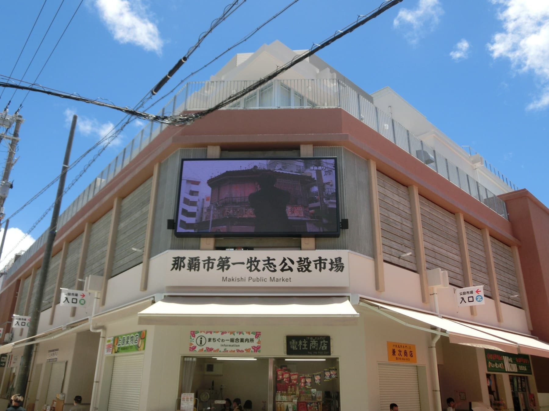

Makishi
Naha
Good base


Motobu
Motobu
Good base
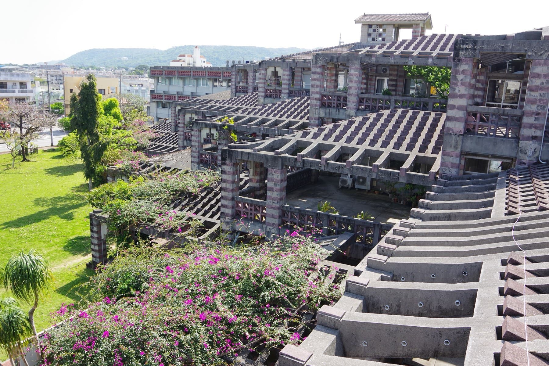

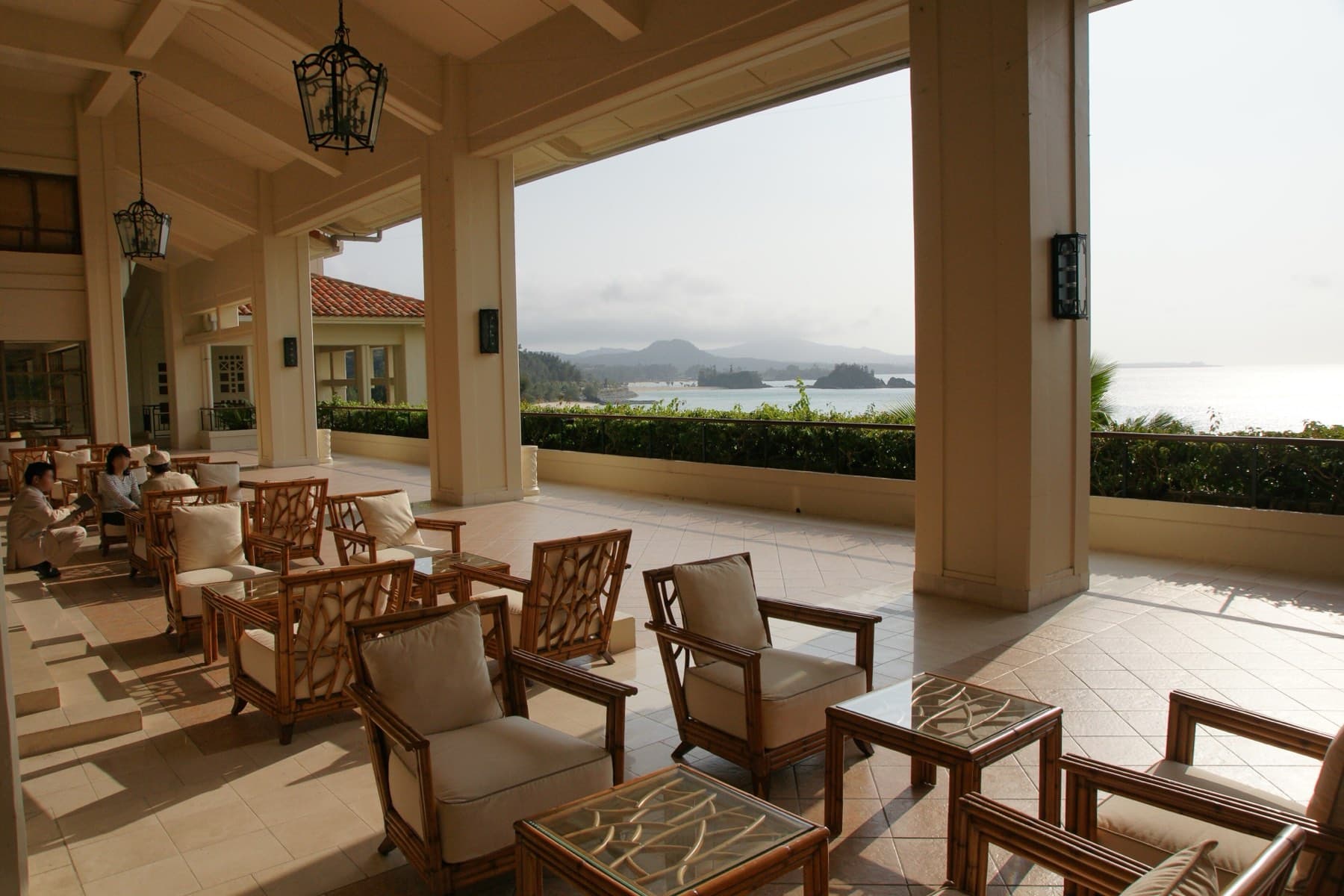

Nago
Motobu
Good base

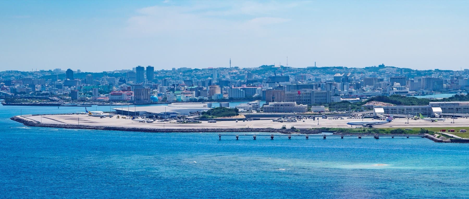
Naha
Naha
Good base


Nakagusuku
Central
village


Nakijin
Motobu
Good base

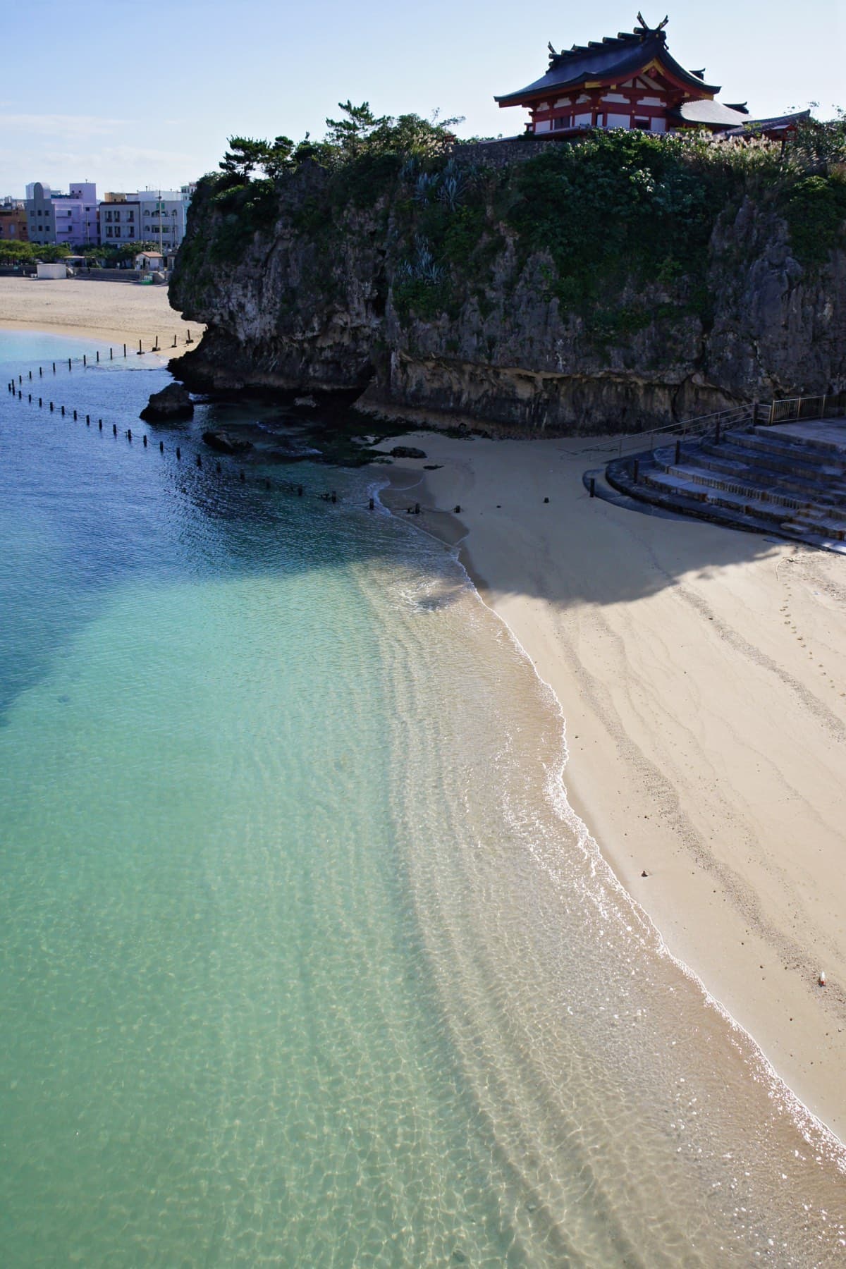
Naminoue
Naha
Good base


Nanjo
South
Good base

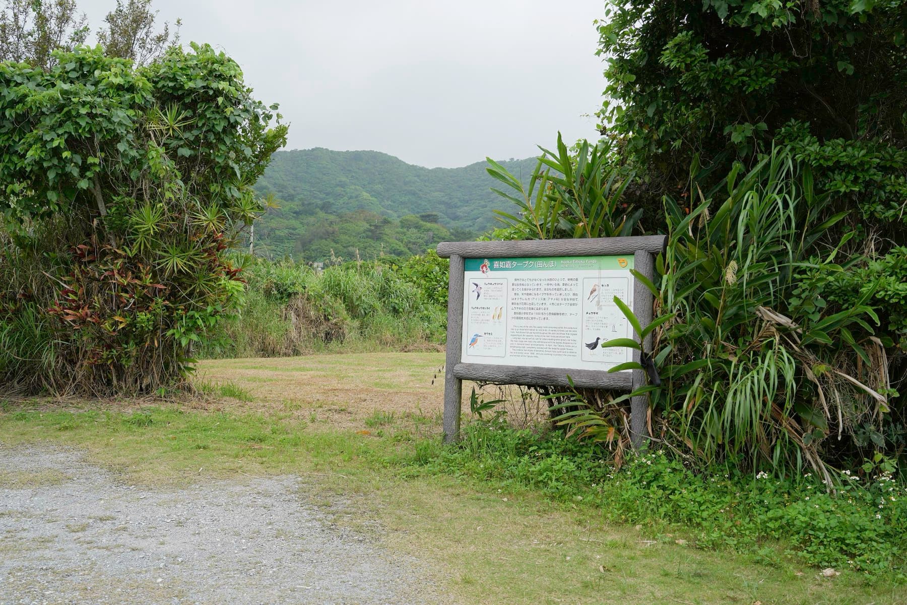
Ogimi
Yanbaru
village

Okinawa City
Central
Good base
Oku
Yanbaru
neighbourhood


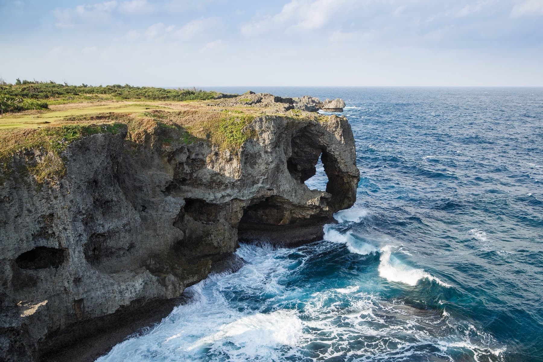

Onna
West coast
Good base
Oroku
Naha
Good base

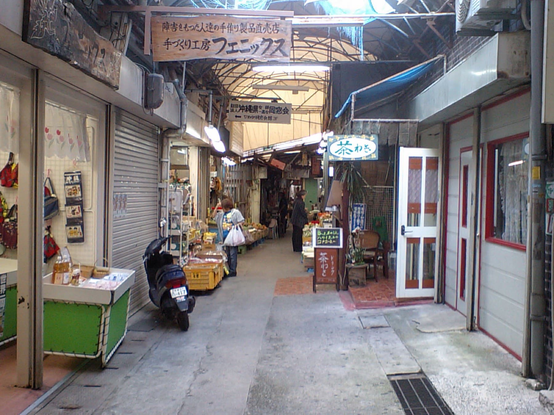
Sakaemachi
Naha
neighbourhood
Sashiki
South
Good base


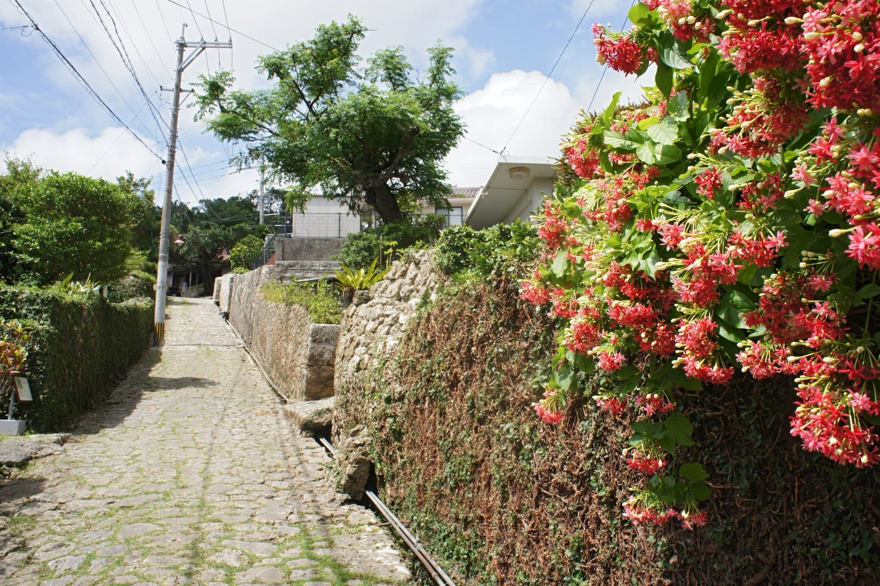

Shuri
Naha
Good base


Tamagusuku
South
Good base
Tancha
West coast
neighbourhood
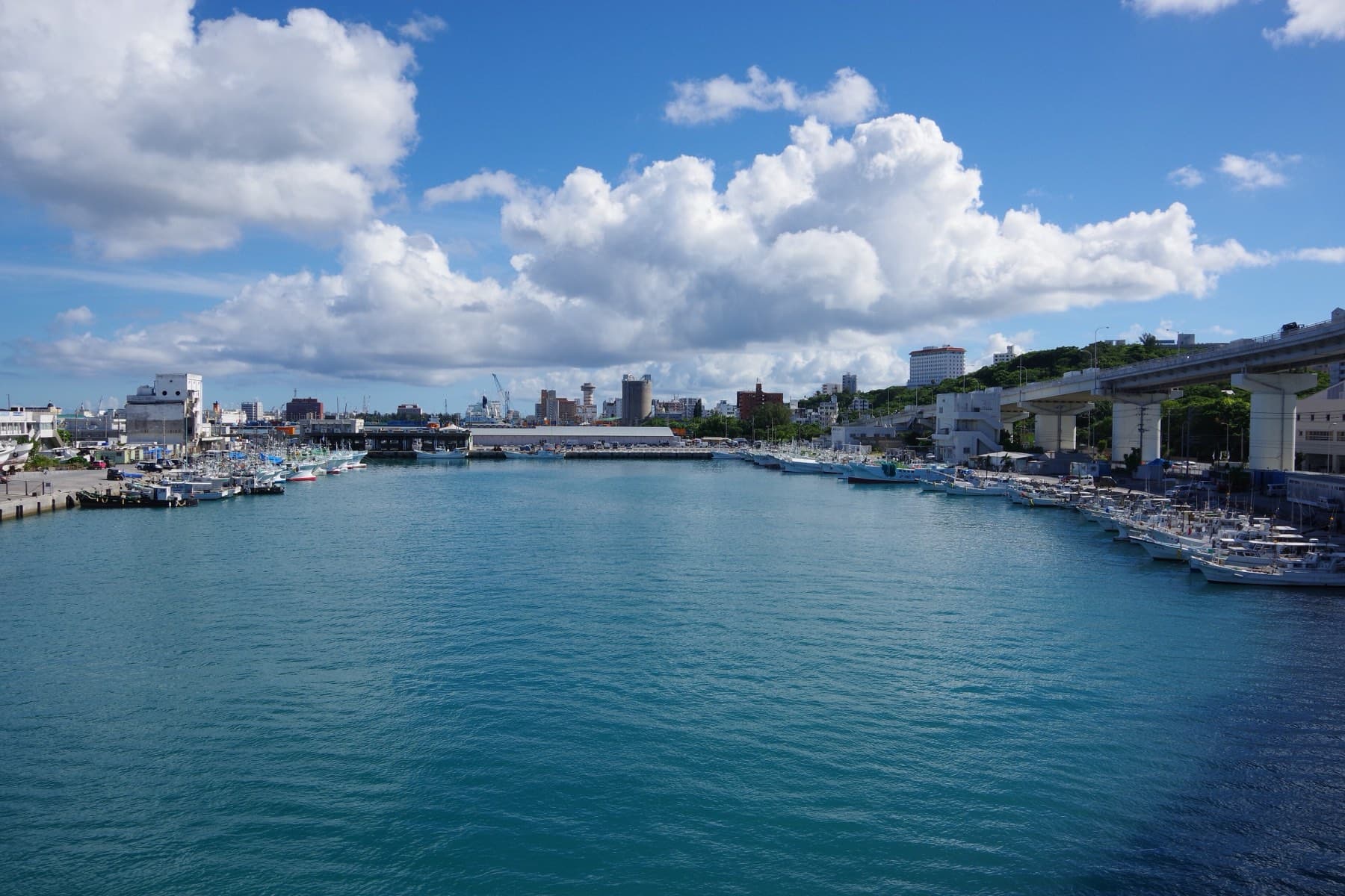
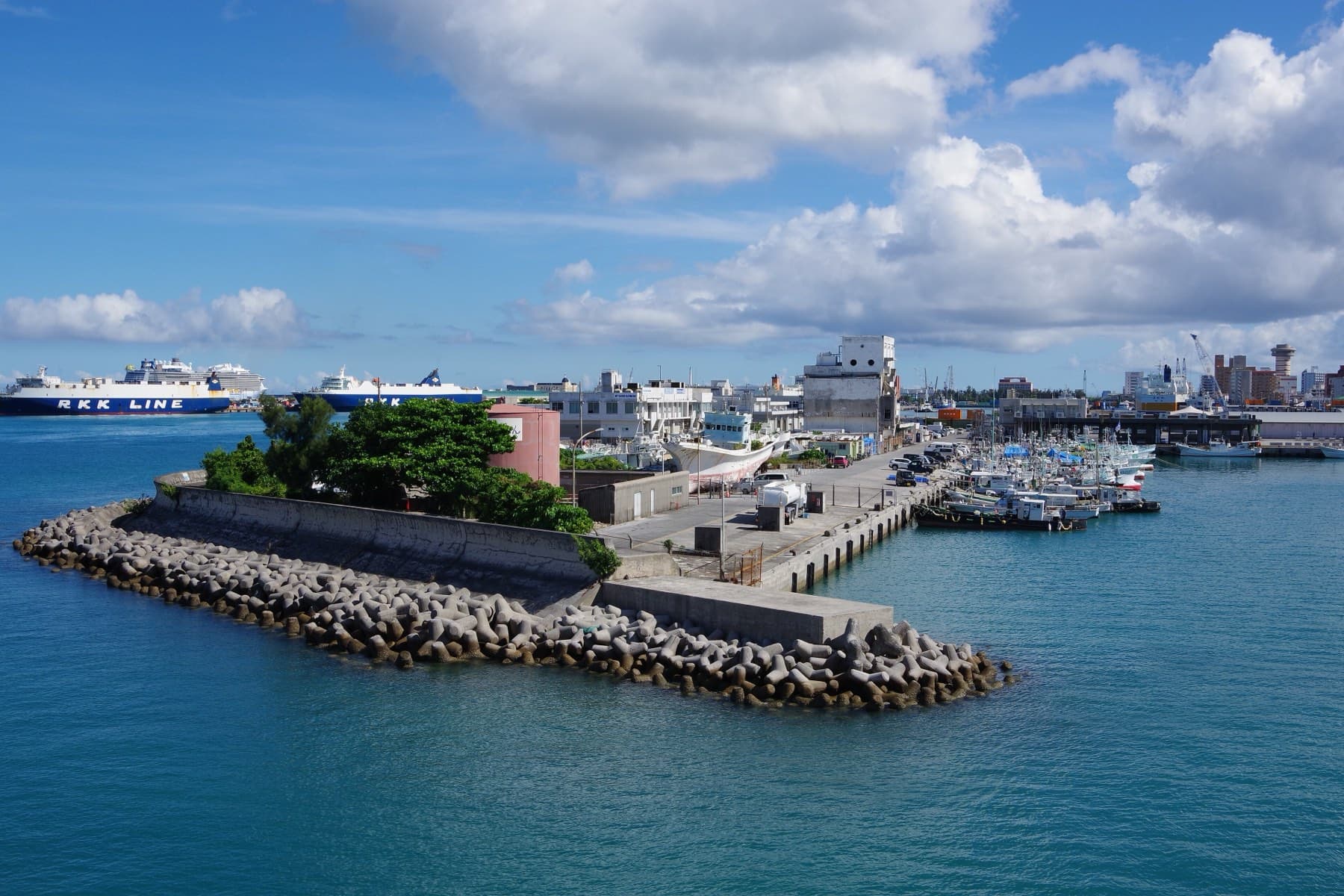

Tomari
Naha
Good base
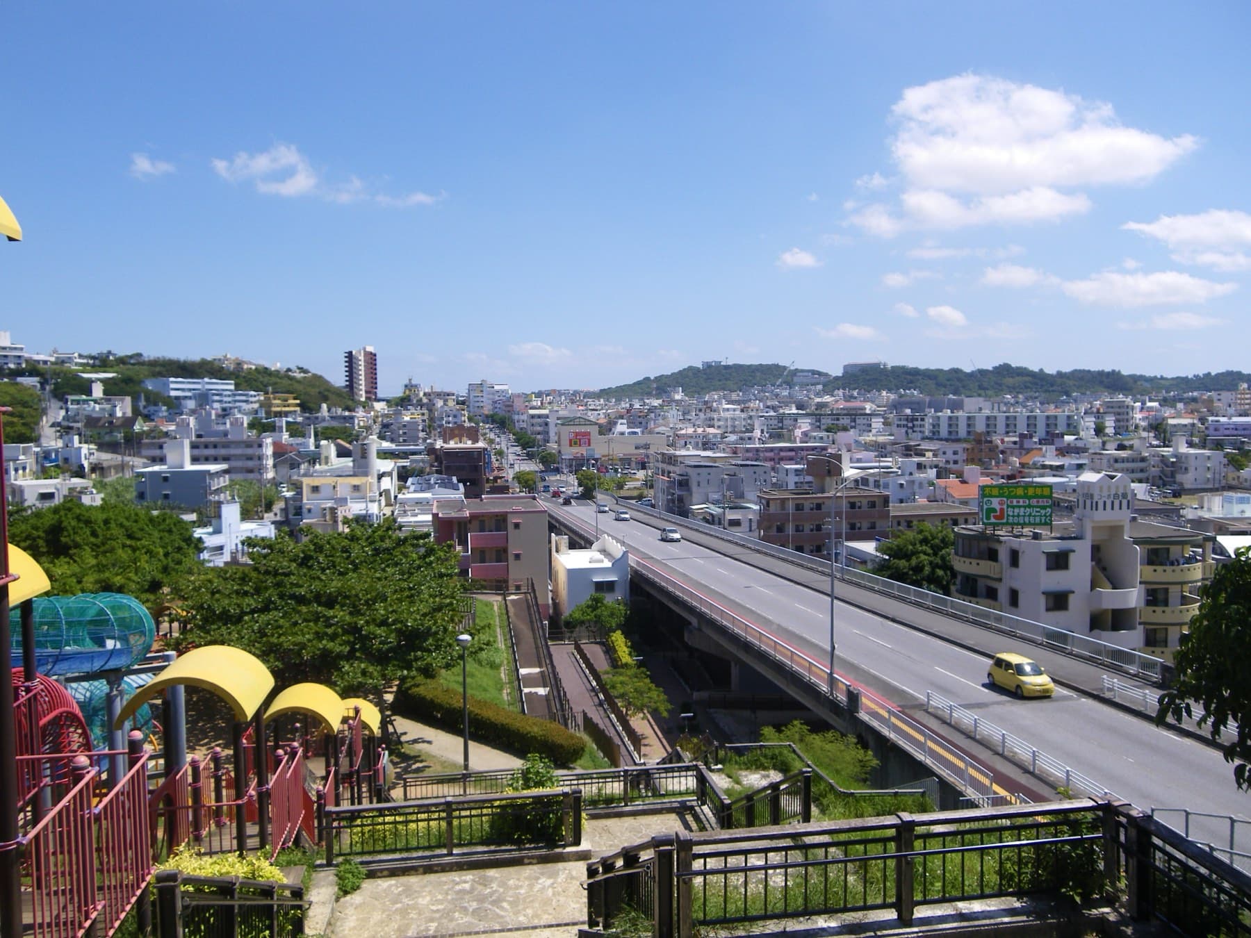


Tomigusuku
South
Good base
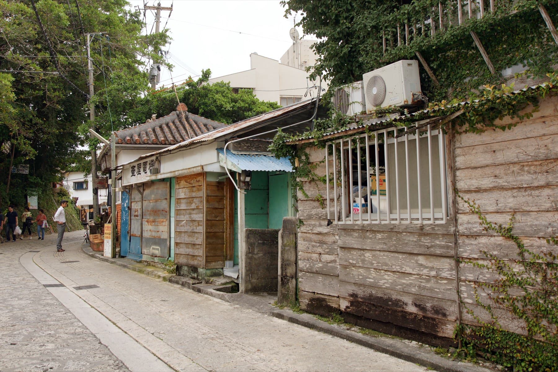

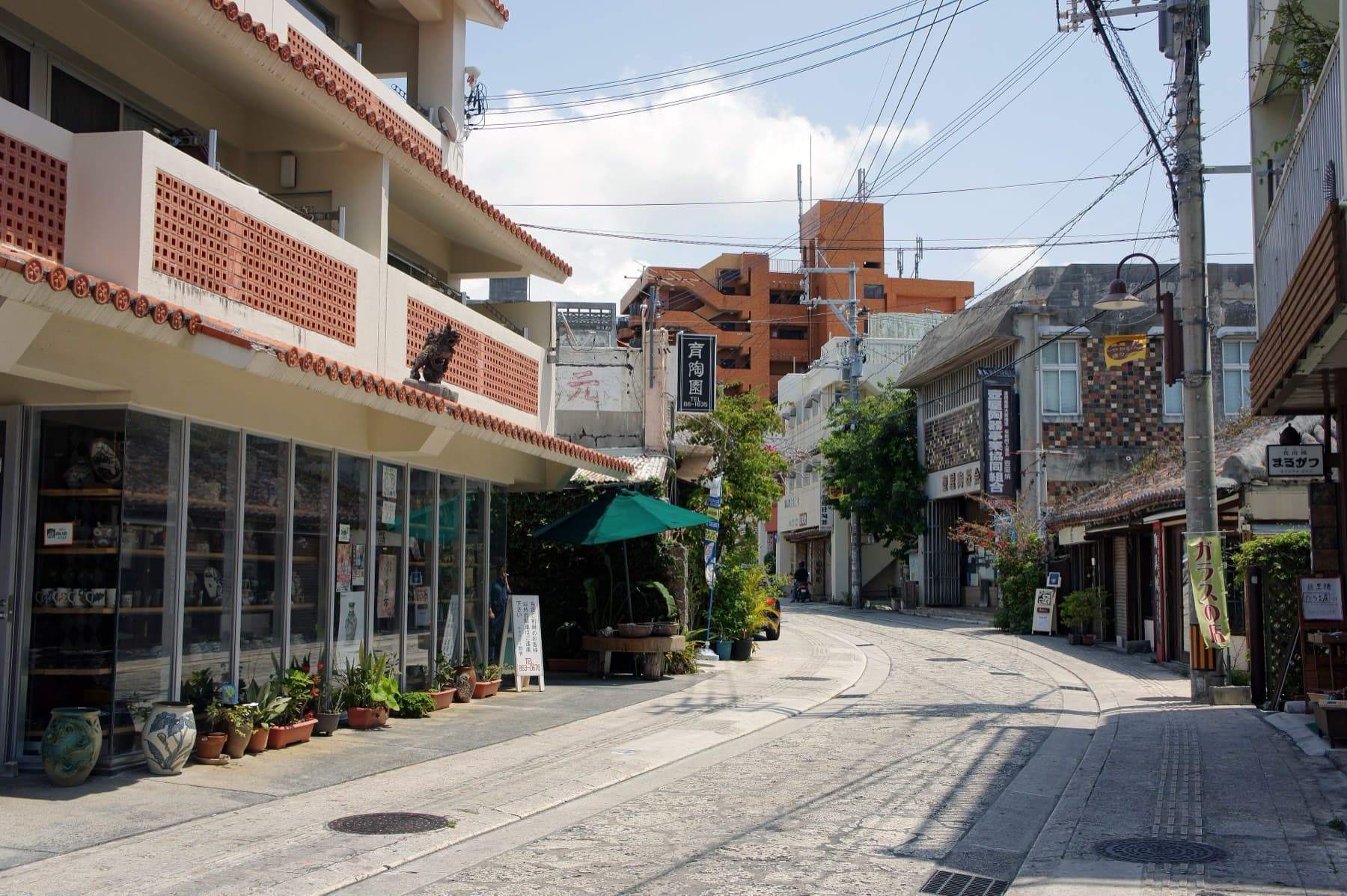

Tsuboya
Naha
Good base
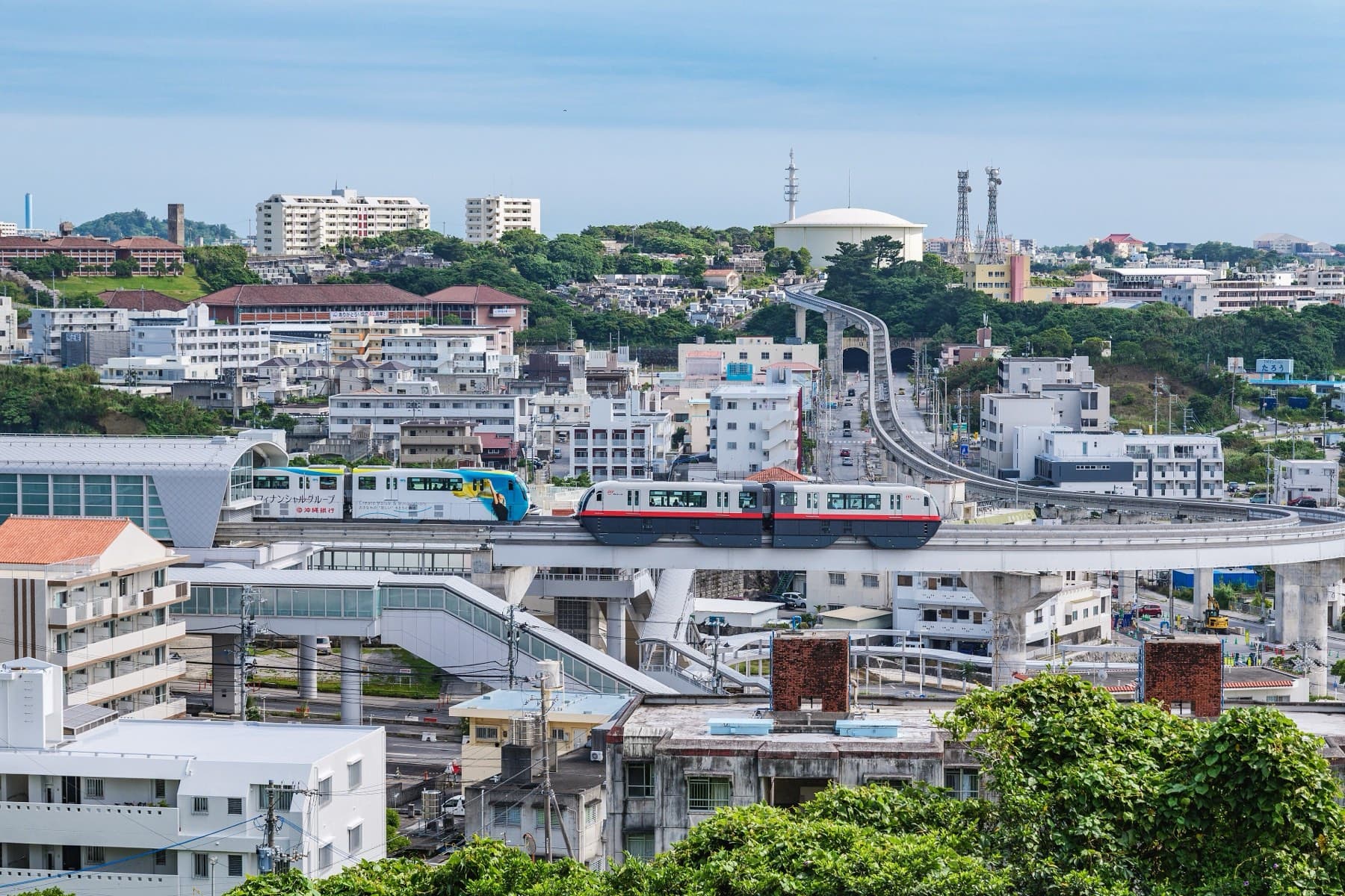
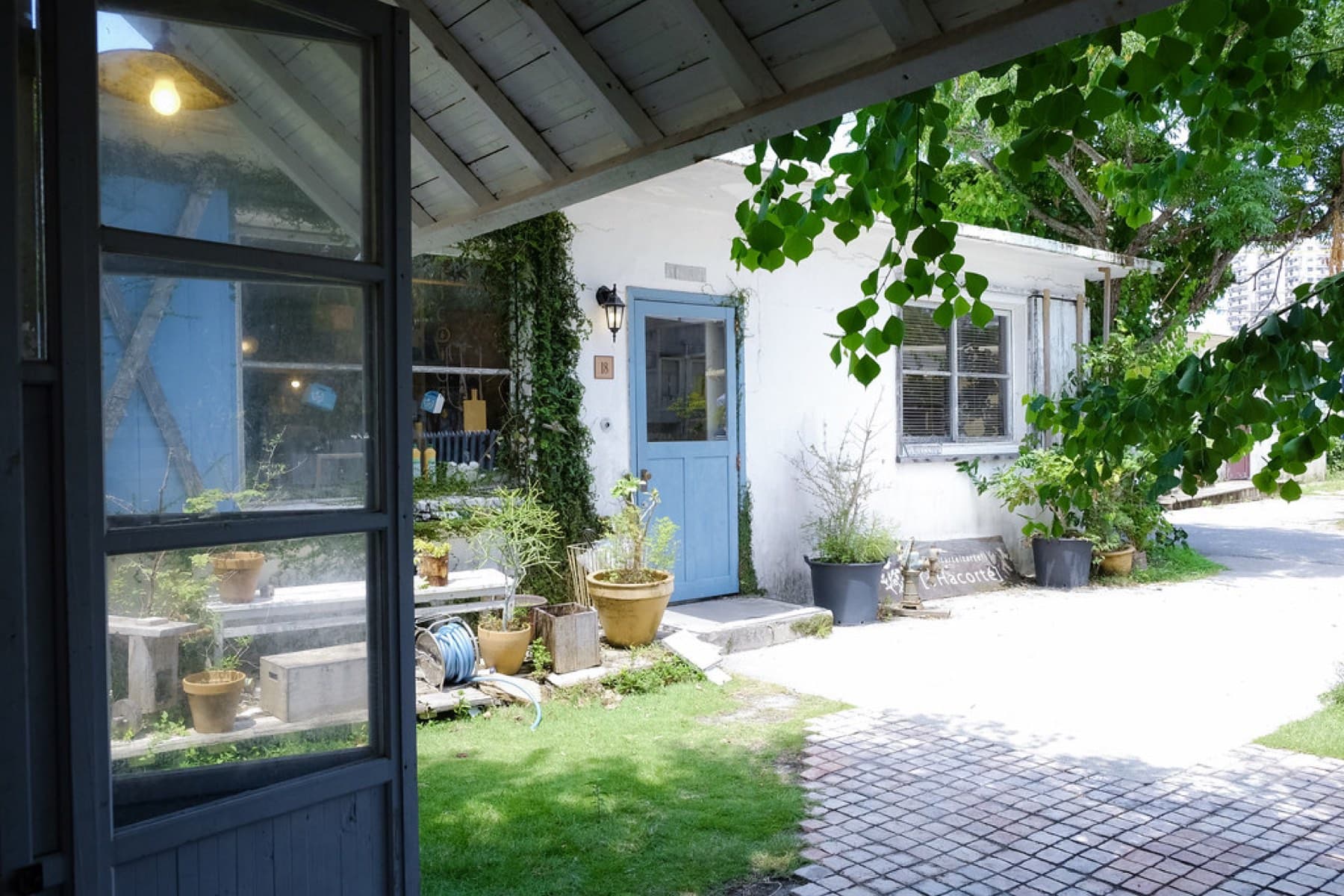


Urasoe
Central
Good base
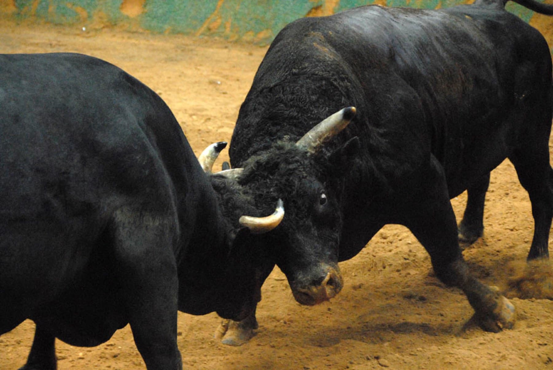


Uruma
Central
Good base
Yaese
South
town



Yomitan
West coast
Good base

Yonabaru
South
town
FAQ
Quick answers about Okinawa Island (Okinawa Honto)よくある質問
How big is Okinawa Island?
Okinawa Island covers 1,207 km² and is about 106.6 km long and 31.2 km wide at its widest. Its highest point is Yonaha-dake at 503 m.
What is the weather like in Okinawa in February?
Naha averages 17.5 °C in February, with highs around 20 °C and lows around 15 °C, on JMA's 1991–2020 normals. The wind blows mostly from the north at about 5 m/s and the month averages about 115 mm of rain.
Can you swim in Okinawa in winter?
No, not at managed beaches. Most managed beaches on Okinawa Island close their swimming seasons at the end of October and reopen in spring, though marine operators run trips year-round and Azama Sun Sun Beach extended its 2026 season to 8 November.
Is Okinawa Island good for cycling?
Yes. Okinawa Island has short coastal rides in the flat south, such as Route 331 around the Chinen peninsula, and hilly forest roads in Yanbaru in the north, with Naha's traffic the main thing to avoid.
How do you get to Okinawa Island (Okinawa Honto)?
Most visitors fly into Naha Airport (OKA) on the southwest coast, about 15 minutes by car from the centre of Naha. The Yui Rail monorail starts at the airport and runs 19 stations through Naha and Shuri to Tedako-Uranishi in Urasoe. Ferries to the Kerama islands and Kume leave from Tomari port in Naha.
How big is Okinawa Island (Okinawa Honto)?
Okinawa Island (Okinawa Honto) covers 1207 km² and is home to about 1,224,726 people.
Can you cycle on Okinawa Island (Okinawa Honto)?
The island is about 106.6 km long and 31.2 km at its widest, and the riding gets hillier and more forested the further north you go, up to Yonaha-dake at 503 m. In the south the Route 331 coast through Chinen and Tamagusuku to Ojima links up with the Niraikanai Bridge descent for a short ride with big views. Naha itself is busy, and Kokusai-dori closes to all vehicles, bikes included, on Sunday afternoons.
Book it
Line up the trip around Okinawa Island (Okinawa Honto)
Some of these links pay us a commission. It costs you nothing and keeps the guide independent.